Difficulty
K4-K5
Extremely difficult via ferrata
Ausserberg, VS
Image: Feller Egon
Difficulty
K4-K5
Extremely difficult via ferrata
Current status
No confirmed live status; open-season calendar fallback
Checked 14 h ago
Total time
5 h 45 min
Approach + via ferrata + descent
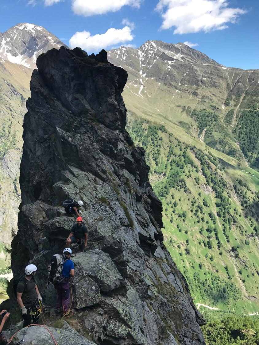
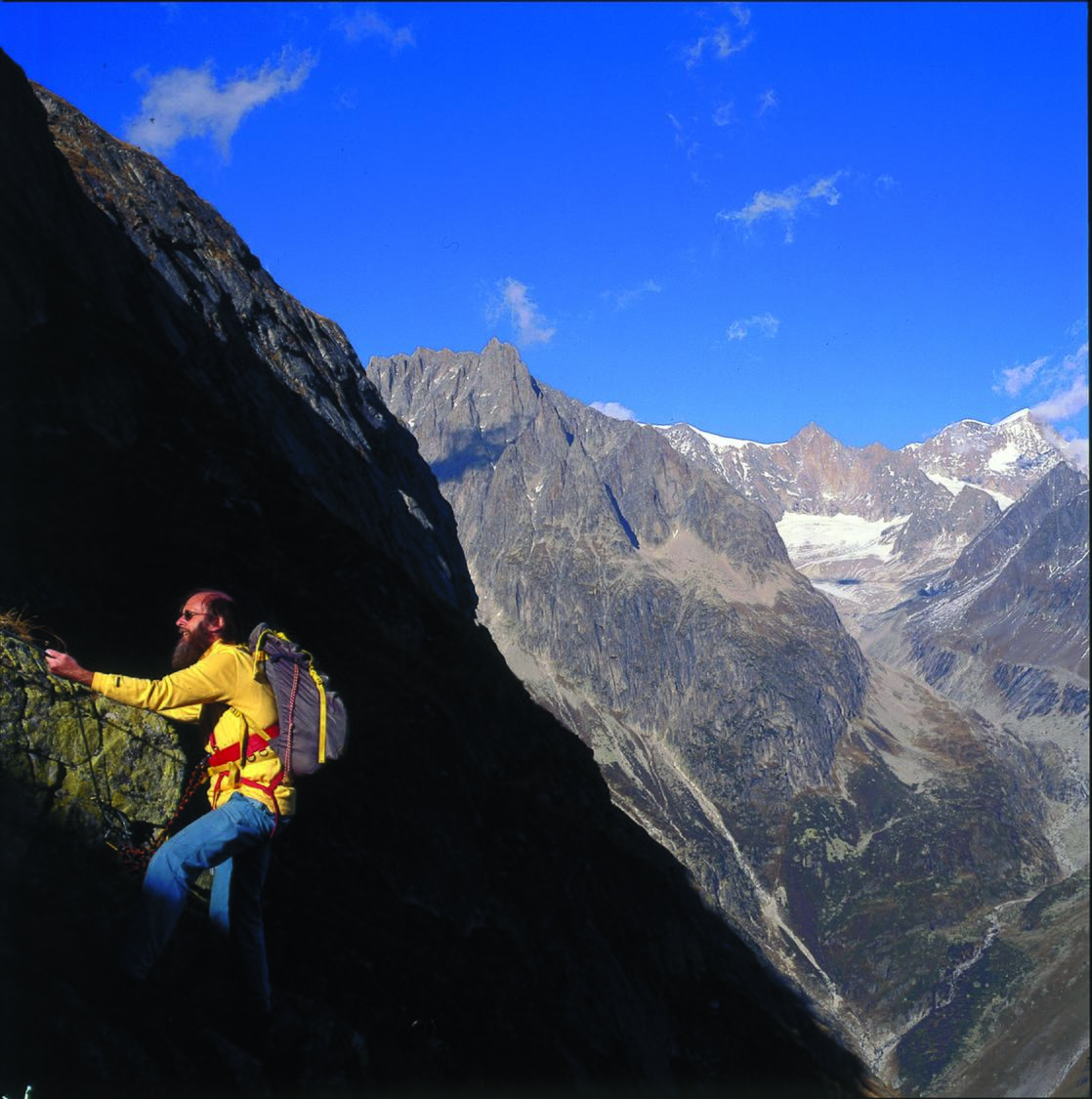
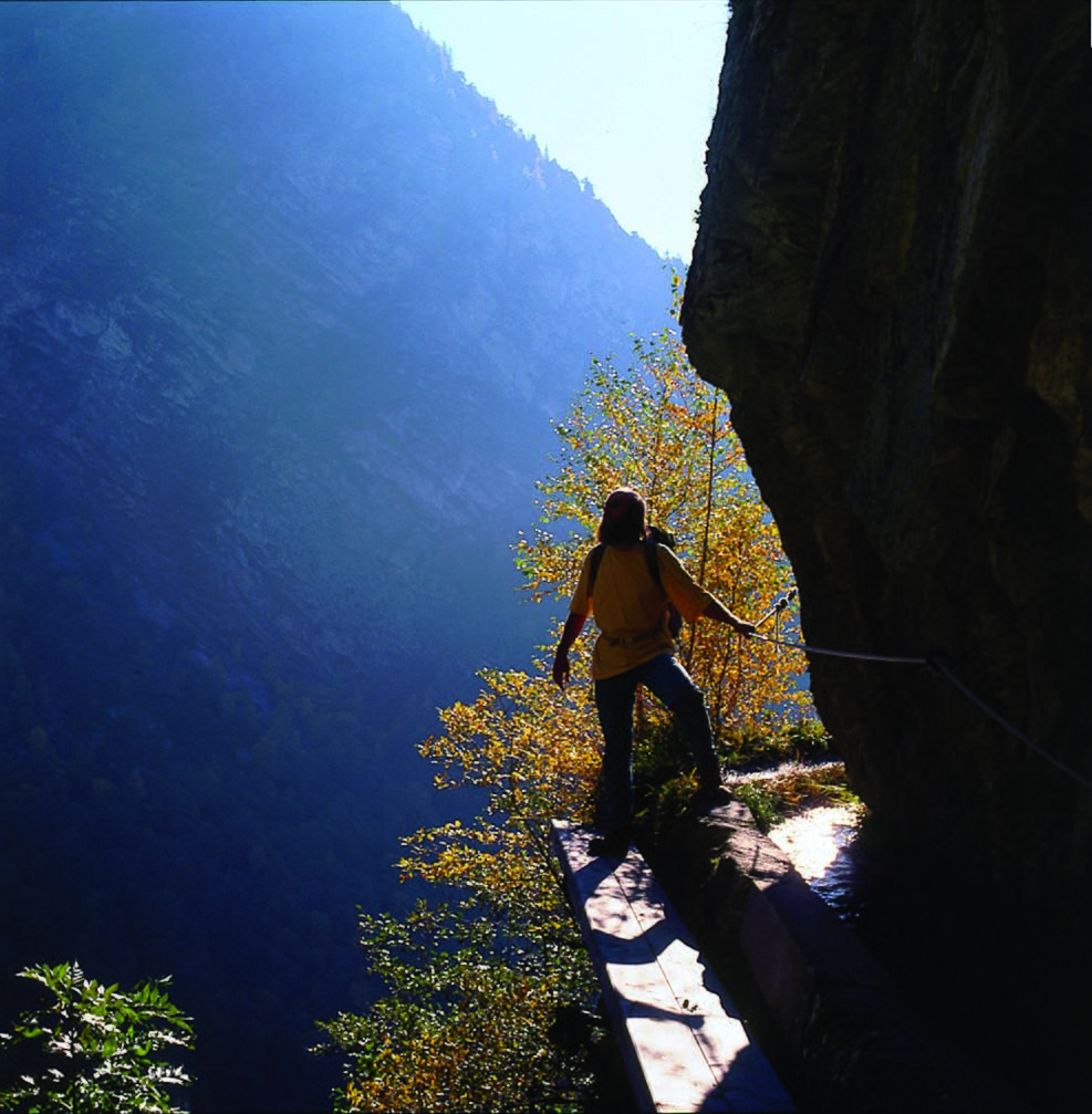
A long, striking via ferrata above the wild Baltschiedertal, first created by Egi Feller and fellow guides in the 1990s, leading to the welcoming Wiwannihütte. Graded K4-5, it combines tough, well-secured climbing near the start and at a dramatic tower with easier but exposed grassy ledges in between, best tackled in dry conditions. Early in the season old snow near the top demands extra caution on the final traverse to the hut.
Zoomable topographic map showing available approach, via ferrata, descent, start, finish, and parking geometry. The Download GPX link near the route map heading provides the same route geometry as a file.
Segment timings and vertical stats from the current VFOS dataset.
From Ausserberg (1008 m) follow the tarmac road towards the Niwärch aqueduct, then branch left through a signposted tunnel (headlamp needed) into the Baltschiedertal. Continue past the Ze Steinu huts (1296 m) to the aqueduct's source, then follow blue markings across meadows and scree to the gorge mouth, where the ferrata begins beside a large red marker at roughly 1780 m. An alternative, airy approach follows the exposed Niwärch aqueduct path itself, traversing cliffs with a sheer drop and some cabled sections.
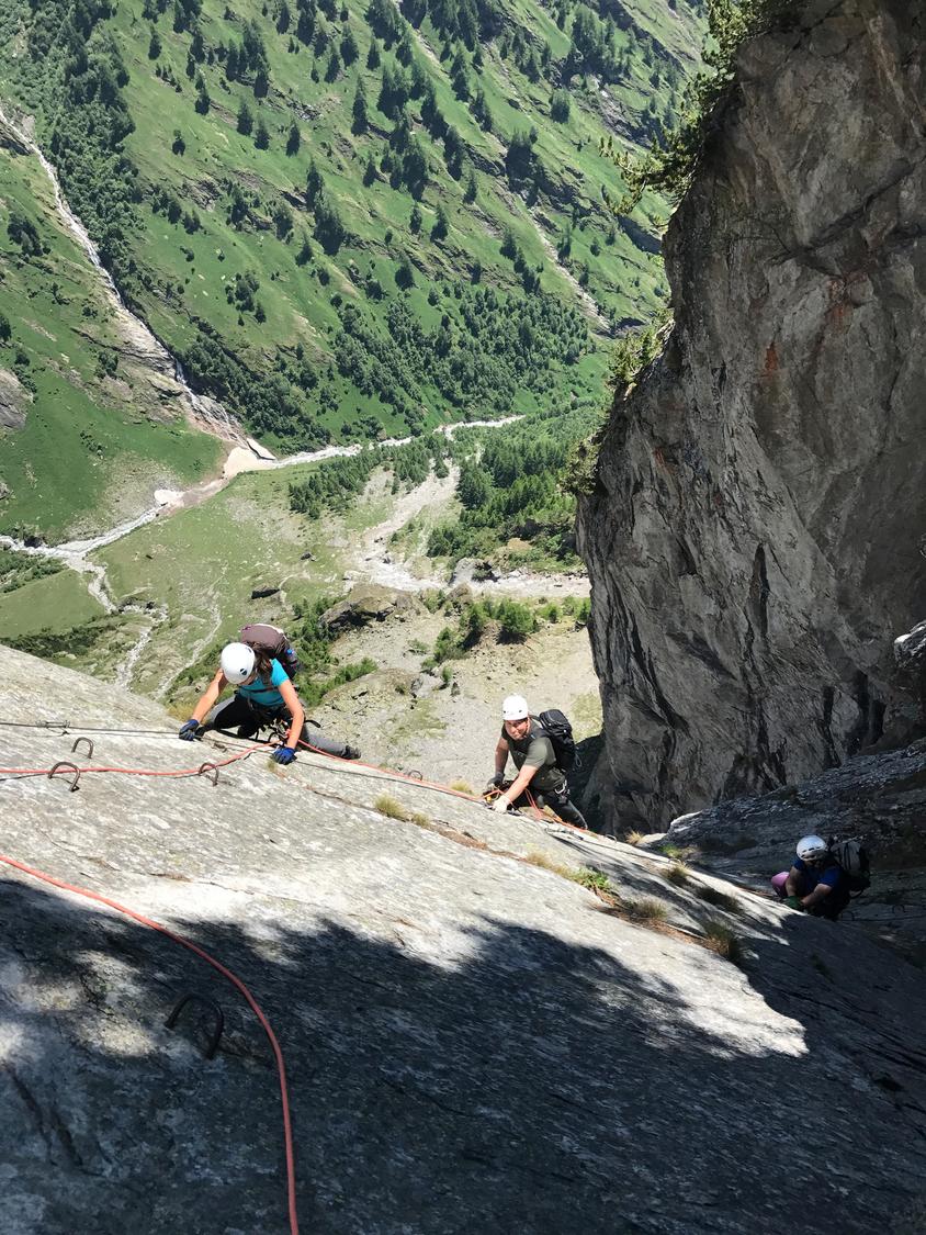
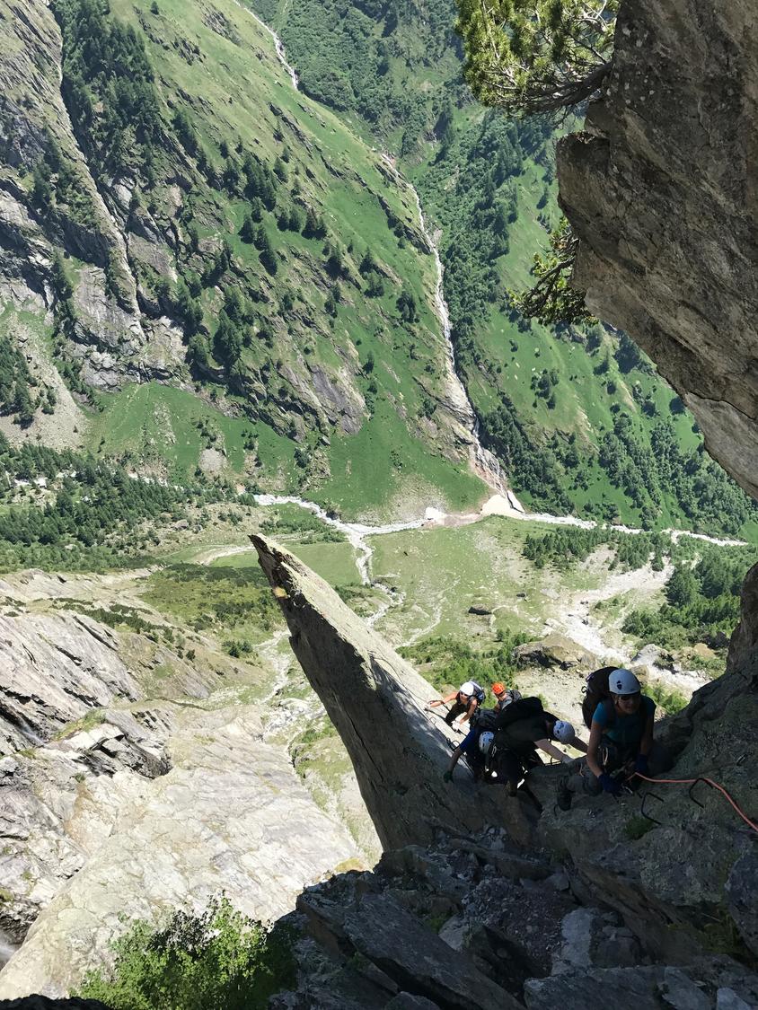
The route opens with several short, vertical but well-protected climbing pitches, easing onto partly grassy, flower-covered terrain that remains impressively exposed. A long line of iron rungs then leads with increasing air beneath the route's signature tower, which is crossed just below its summit on the right via an airy traverse. A short, secured descent follows, including an awkward gap requiring a wide stretch, before further iron aids lead up steep rocky steps into grassy terrain. The cable continues uphill to the level of Wiwannihütte (2463 m), where a final traverse—often snow-covered in early season—leads toward the hut.
From the top of the ferrata, a short uphill traverse of about five minutes leads directly to Wiwannihütte, with fine views over the Rhone valley to the Mischabel peaks. From the hut, the descent path returns to Ausserberg, taking around two and a half hours.
No escape point details are recorded yet.
Recommended months from the source
Recommended months are seasonal guidance, not a live operational confirmation.
VFOS editorial ratings on a 1-5 scale.
Variety
How much the route changes in movement and terrain.
- -
Complexity
Route-finding and technical problem-solving beyond pure grade.
- -
Beauty
Scenery, setting, and overall aesthetic quality.
- -
Exposure
Airiness and exposure independent of technical difficulty.
- -
Sustained effort
How continuous or relentless the physical effort feels.
- -
No crux tags are recorded yet.
Source ratings on the SAC-CAS 1-4 scale.
Plan around the trailhead, parking, and public transport links.
Last lift down
Check operator
Check current local information before setting off.
In Switzerland, call Rega on 1414 for mountain rescue. European emergency number: 112.
Cell coverage can be patchy in gorges, valleys, and behind ridges. Download route notes and tell someone your plan.
This route is flagged as exposed or high-grade; avoid thunderstorms, wet cables, and fast-changing alpine weather.
https://www.valais.ch/en/explore/activities/other-summer-activities/fixed-rope-routes/baltschieder-via-ferrata-to-wiwannihuette
Last scraped: 2 Aug 2026 · Opening-season source retained for status provenance.
https://www.sac-cas.ch/de/huetten-und-touren/sac-tourenportal/wiwannihuette-2147000297/berg-und-alpinwandern/zustieg-zum-baltschieder-klettersteig-von-ausserberg-845/
Last scraped: 2 Aug 2026 · Official SAC-CAS Route Portal source; English API data and attribution retained.
https://www.sac-cas.ch/de/huetten-und-touren/sac-tourenportal/wiwannihuette-2147000297/berg-und-alpinwandern/vom-ausstieg-baltschieder-klettersteig-zur-wiwannihuette-846/
Last scraped: 2 Aug 2026 · Official SAC-CAS Route Portal source; English API data and attribution retained.
https://www.sac-cas.ch/de/huetten-und-touren/sac-tourenportal/wiwannihuette-2147000297/klettersteig/baltschieder-klettersteig-696/
Last scraped: 2 Aug 2026 · Official SAC-CAS Route Portal source; English API data and attribution retained.
No contested fields are currently flagged.
Weather