Difficulty
K2
Moderate via ferrata
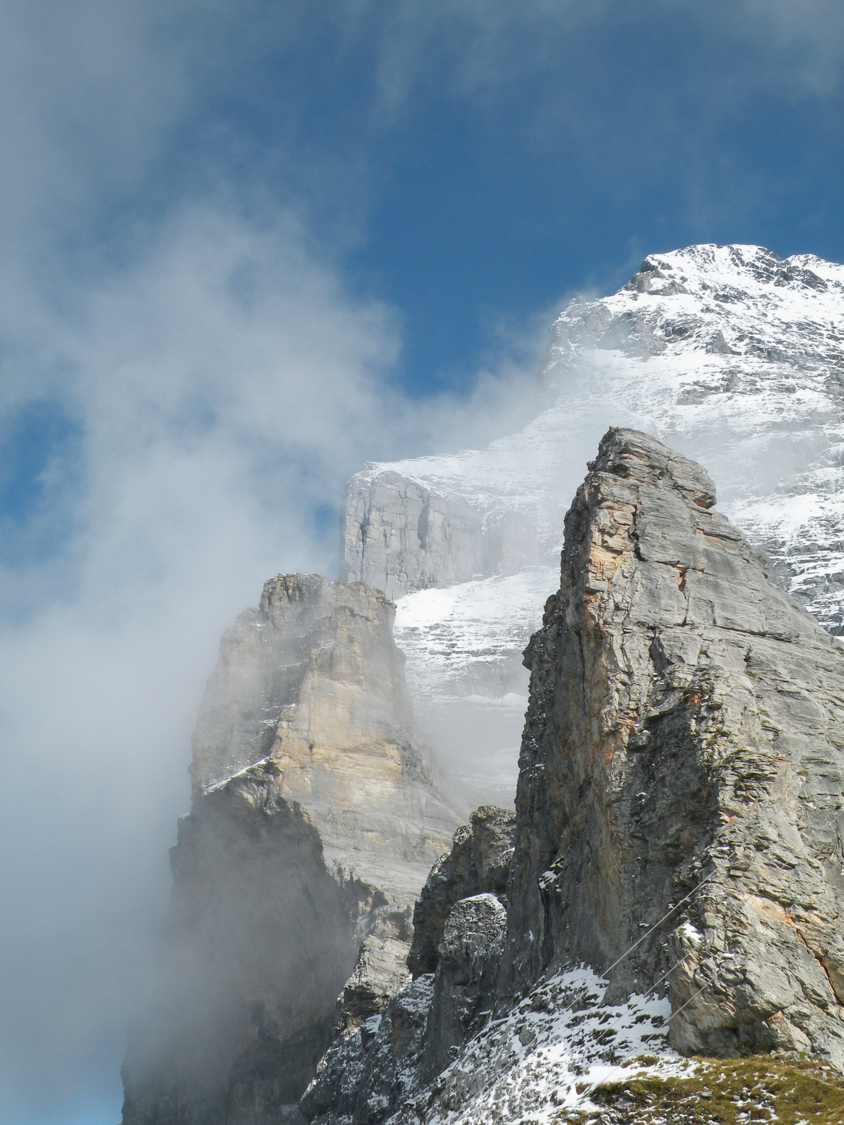
Station Eigergletscher, BE
Image: Daniel Anker
Difficulty
K2
Moderate via ferrata
Current status
The latest source indicates this route is open
Checked 14 h ago
Total time
2 h 45 min
Approach + via ferrata + descent
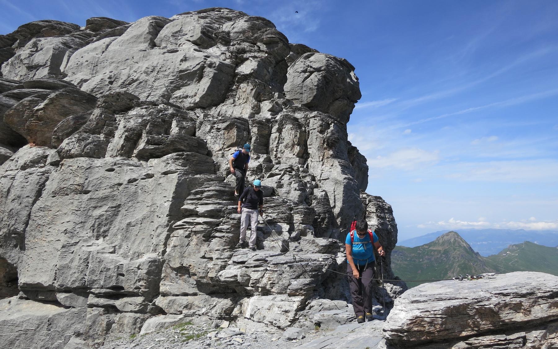
The Eiger-Rotstock via ferrata revives a historic tourist path first secured between 1899 and 1903 in the far right corner of the Eiger North Face, originally allowing well-dressed visitors to climb from the old Rotstock station to the summit. Rediscovered in 1997, it was re-equipped in 2000 by Grindelwald mountain guides with aluminium ladders and cables, both in the newly opened lower section and along the historic upper gorge route. This short 260m route offers genuine Eiger atmosphere in relative safety, though rockfall remains a constant possibility. It suits vertigo-free hikers and via ferrata climbers equipped with proper gear.
Zoomable topographic map showing available approach, via ferrata, descent, start, finish, and parking geometry. The Download GPX link near the route map heading provides the same route geometry as a file.
Segment timings and vertical stats from the current VFOS dataset.
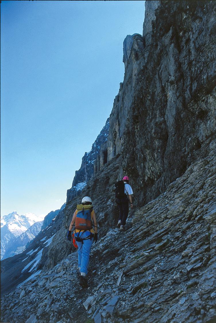
From Eigergletscher station, walk beneath the chairlift and past the large tunnels of the V-cableway, following the Eiger Trail. At P.2285, marked with a sign showing the Heckmair route, climb the rounded ridge to reach the base of the via ferrata, where the first iron fittings appear around 2400m.
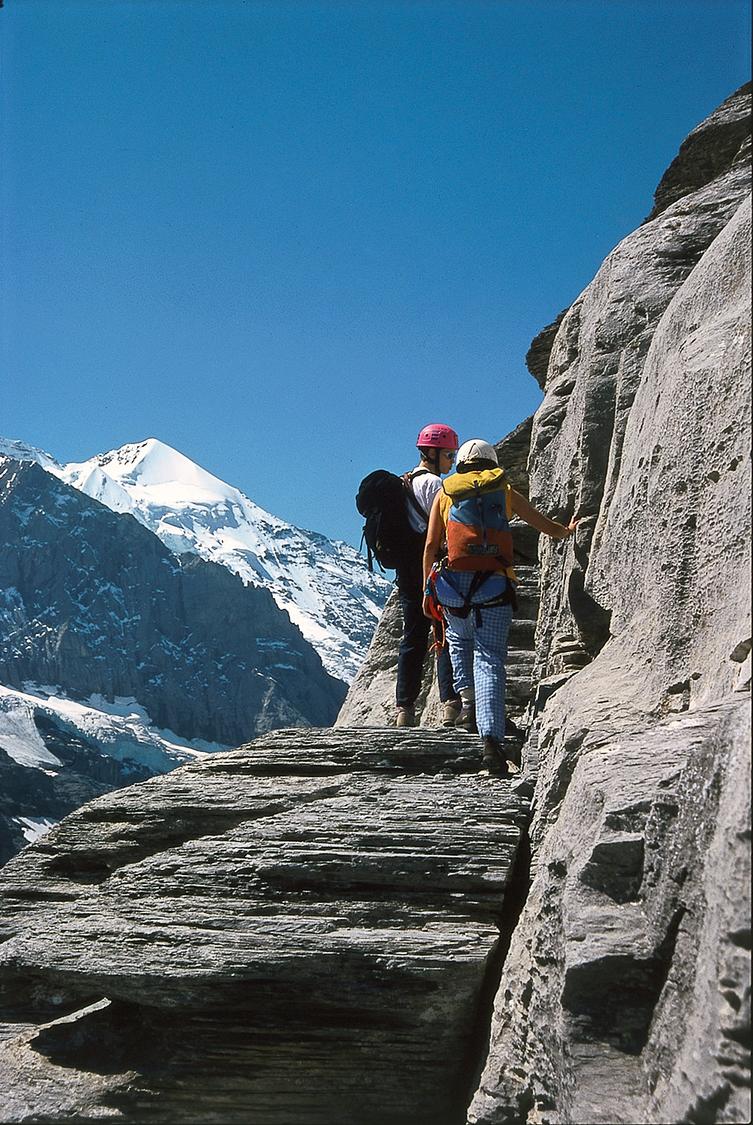
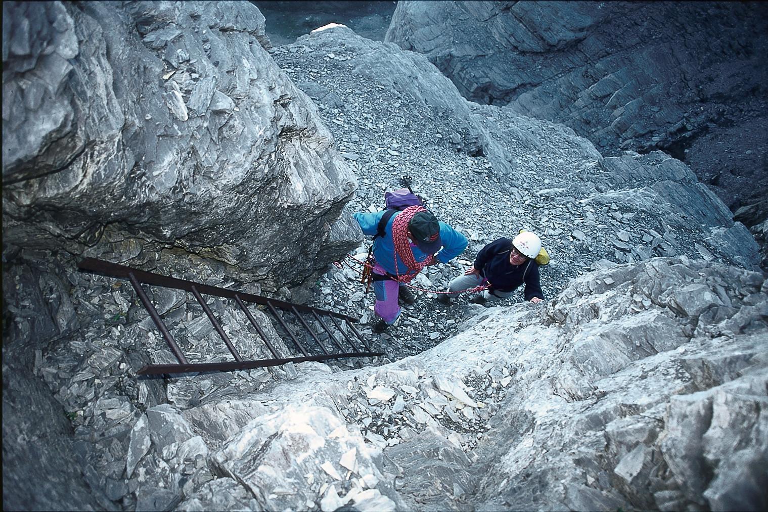
The route follows a clear line combining modern and historic via ferrata sections, with cairns marking the easier walking stretches. The lower, newer section below the old Rotstock station (approx. 2520m) includes several iron ladders, while the older upper section relies mainly on steps cut directly into the limestone. After crossing back over the gully, another ladder leads to the Rotstock saddle (approx. 2640m), from which an easy scramble gains the slabby summit of the Rotstock (2662m, marked by a cross and summit book).
From the Rotstock saddle, descend south-west across scree-covered, bulging slabs, aided by cairns and fixed ropes at the trickiest spots, down to Eigergletscher station.
No escape point details are recorded yet.
Typical published season
Month-level seasonal guidance; weather and local conditions can still close the route.
VFOS editorial ratings on a 1-5 scale.
Variety
How much the route changes in movement and terrain.
- -
Complexity
Route-finding and technical problem-solving beyond pure grade.
- -
Beauty
Scenery, setting, and overall aesthetic quality.
- -
Exposure
Airiness and exposure independent of technical difficulty.
- -
Sustained effort
How continuous or relentless the physical effort feels.
- -
No crux tags are recorded yet.
Source ratings on the SAC-CAS 1-4 scale.
Plan around the trailhead, parking, and public transport links.
Last lift down
Check operator
Check current local information before setting off.
In Switzerland, call Rega on 1414 for mountain rescue. European emergency number: 112.
Cell coverage can be patchy in gorges, valleys, and behind ridges. Download route notes and tell someone your plan.
Avoid thunderstorms and wet rock. Via ferrata cables can become hazardous quickly in poor weather.
https://www.jungfrau.ch/en-gb/jungfraujoch-top-of-europe/construction-of-the-jungfrau-railway/
Last scraped: 2 Aug 2026 · Opening-season source retained for status provenance.
https://www.sac-cas.ch/de/huetten-und-touren/sac-tourenportal/rotstock-eiger-be-7440/berg-und-alpinwandern/zustieg-rotstock-klettersteig-784/
Last scraped: 2 Aug 2026 · Official SAC-CAS Route Portal source; English API data and attribution retained.
https://www.sac-cas.ch/de/huetten-und-touren/sac-tourenportal/rotstock-eiger-be-7440/berg-und-alpinwandern/abstieg-klettersteig-rotstock-785/
Last scraped: 2 Aug 2026 · Official SAC-CAS Route Portal source; English API data and attribution retained.
https://www.sac-cas.ch/de/huetten-und-touren/sac-tourenportal/rotstock-eiger-be-7440/klettersteig/eiger-rotstock-klettersteig-664/
Last scraped: 2 Aug 2026 · Official SAC-CAS Route Portal source; English API data and attribution retained.
https://www.myswitzerland.com/de-ch/erlebnisse/eiger-rotstock-klettersteig-mit-nordwandambience/
Last scraped: 4 Aug 2026 · Owner-approved opening-status source from the 2026-08-04 review.
No contested fields are currently flagged.
Weather