Difficulty
K2
Moderate via ferrata
Engelberg, OW
A compact Brunni-area route above Engelberg that is useful as an early VFOS seed because it has clear local tourism coverage, lift access, and…
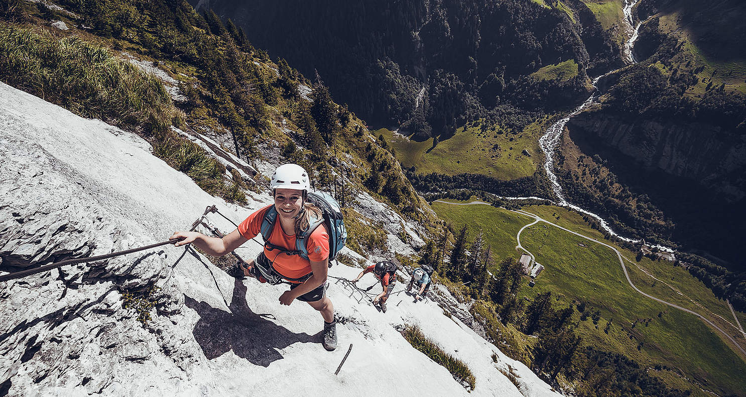
Image: Source: Engelberg-Titlis Tourism
Difficulty
K2
Moderate via ferrata
Current status
Currently reported open
Checked 17 h ago
Total time
1 h
Approach + via ferrata + descent
Last lift down
Check Brunni-Bahnen Engelberg timetable
Segment timings and vertical stats from the current VFOS dataset.
Start up the ridge, making use of numerous iron rungs before turning a corner to greet the first special attraction of the route: an 8-metre-long three-cable bridge. At the other end of this rather wobbly construction climb steep, but well protected terrain to reach an outcrop with a cross on top. From here, cross the long, slightly ascending but sturdy suspension bridge to reach the main summit ridge of Brunnistöckli (ca. 2030 m). Follow the ridge to the end of the route at Schonegg.
No escape point details are recorded yet.
Zoomable topographic map showing available approach, via ferrata, descent, start, finish, and parking geometry. The Download GPX link near the route map heading provides the same route geometry as a file.
Plan around the trailhead, parking, and public transport links.
Last lift down
Check operator
VFOS editorial ratings on a 1-5 scale.
Variety
How much the route changes in movement and terrain.
Moderate 3/5
Complexity
Route-finding and technical problem-solving beyond pure grade.
Low 2/5
Beauty
Scenery, setting, and overall aesthetic quality.
High 4/5
Exposure
Airiness and exposure independent of technical difficulty.
Low 2/5
Sustained effort
How continuous or relentless the physical effort feels.
Low 2/5
No crux tags are recorded yet.
A compact Brunni-area route above Engelberg that is useful as an early VFOS seed because it has clear local tourism coverage, lift access, and…
Check current local information before setting off.
In Switzerland, call Rega on 1414 for mountain rescue. European emergency number: 112.
Cell coverage can be patchy in gorges, valleys, and behind ridges. Download route notes and tell someone your plan.
Avoid thunderstorms and wet rock. Via ferrata cables can become hazardous quickly in poor weather.
https://www.engelberg.ch/en/summer/via-ferrata-climbing/
Last scraped: 30 May 2026 · Source used for attribution and factual cross-checking; VFOS stores only short, paraphrased seed notes.
https://ferrataguide.com/ferrata/Brunnist%C3%B6ckli
Last scraped: 4 Jun 2026 · Source used for attribution and factual cross-checking; canonical VFOS text is paraphrased separately.
https://www.openstreetmap.org/way/1421568918
Last scraped: 30 May 2026 · OpenStreetMap object reference used for seed coordinate provenance; data available under ODbL.
https://www.sac-cas.ch/de/huetten-und-touren/sac-tourenportal/brunnistoeckli-7438/klettersteig/klettersteig-brunnistoeckli-738/
Last scraped: 21 Jun 2026 · Facts harvested from public source pages; VFOS stores extracted facts and links back to source.
No contested fields are currently flagged.
Weather