Difficulty
K2
Moderate via ferrata
St. Antönien, GR
Image: Thomas Hablützel / Prättigau Tourismus
Difficulty
K2
Moderate via ferrata
Current status
Today falls within the published opening season
Checked 14 h ago
Total time
4 h 45 min
Approach + via ferrata + descent
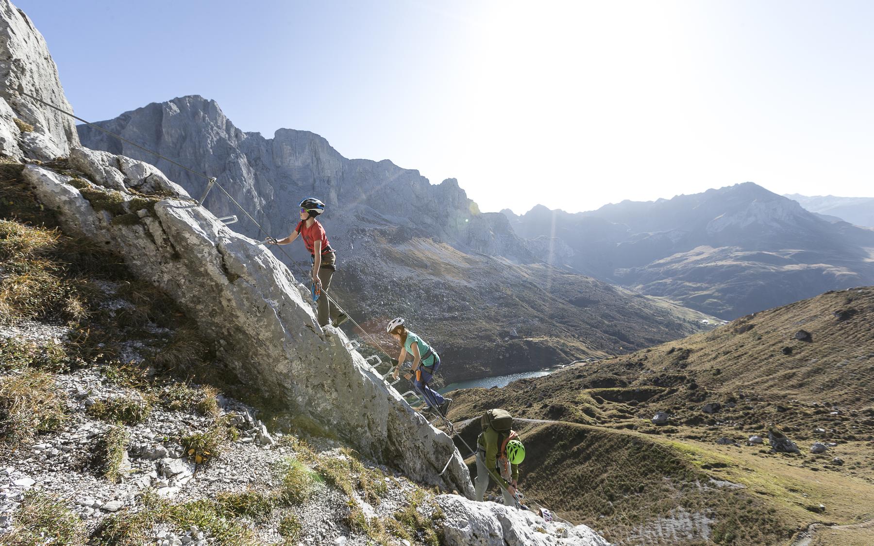
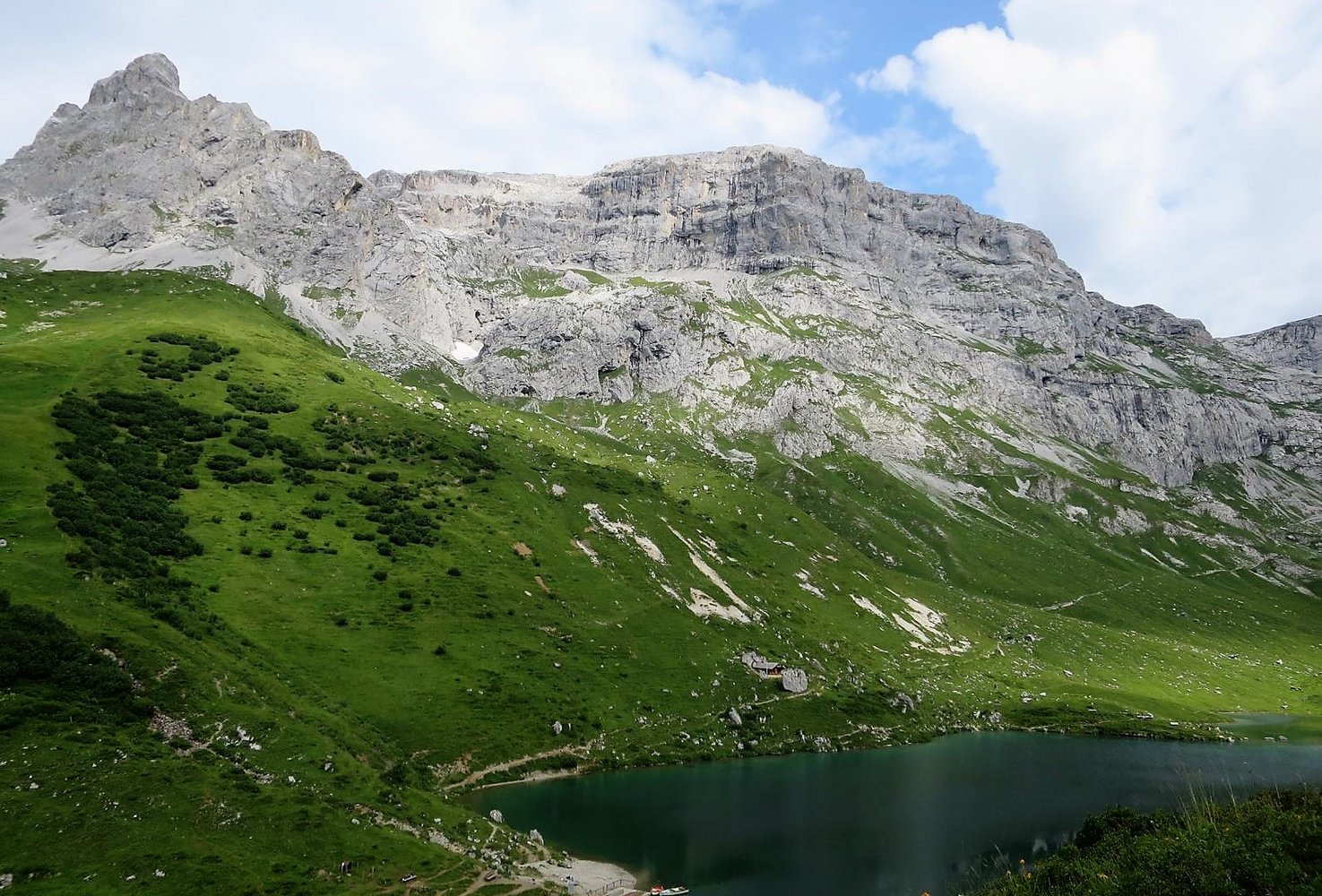
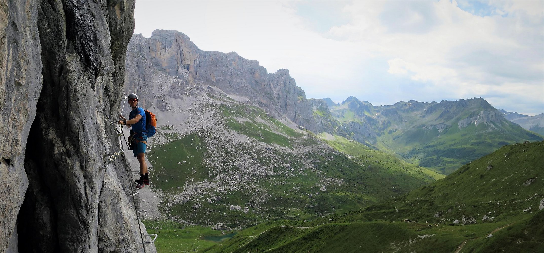
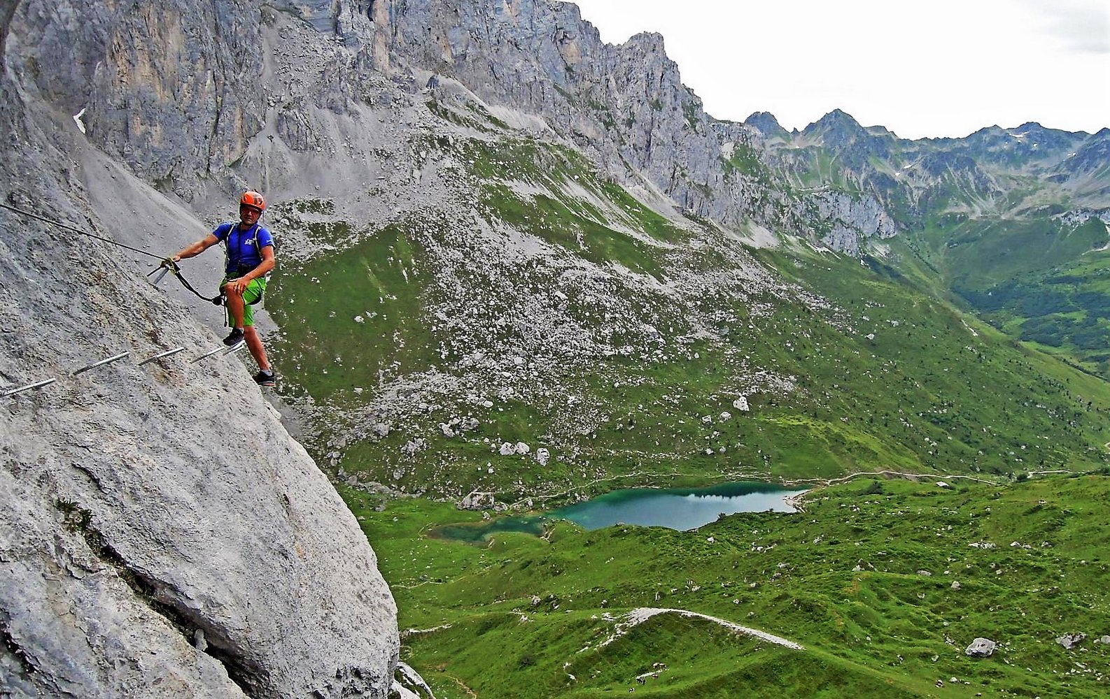
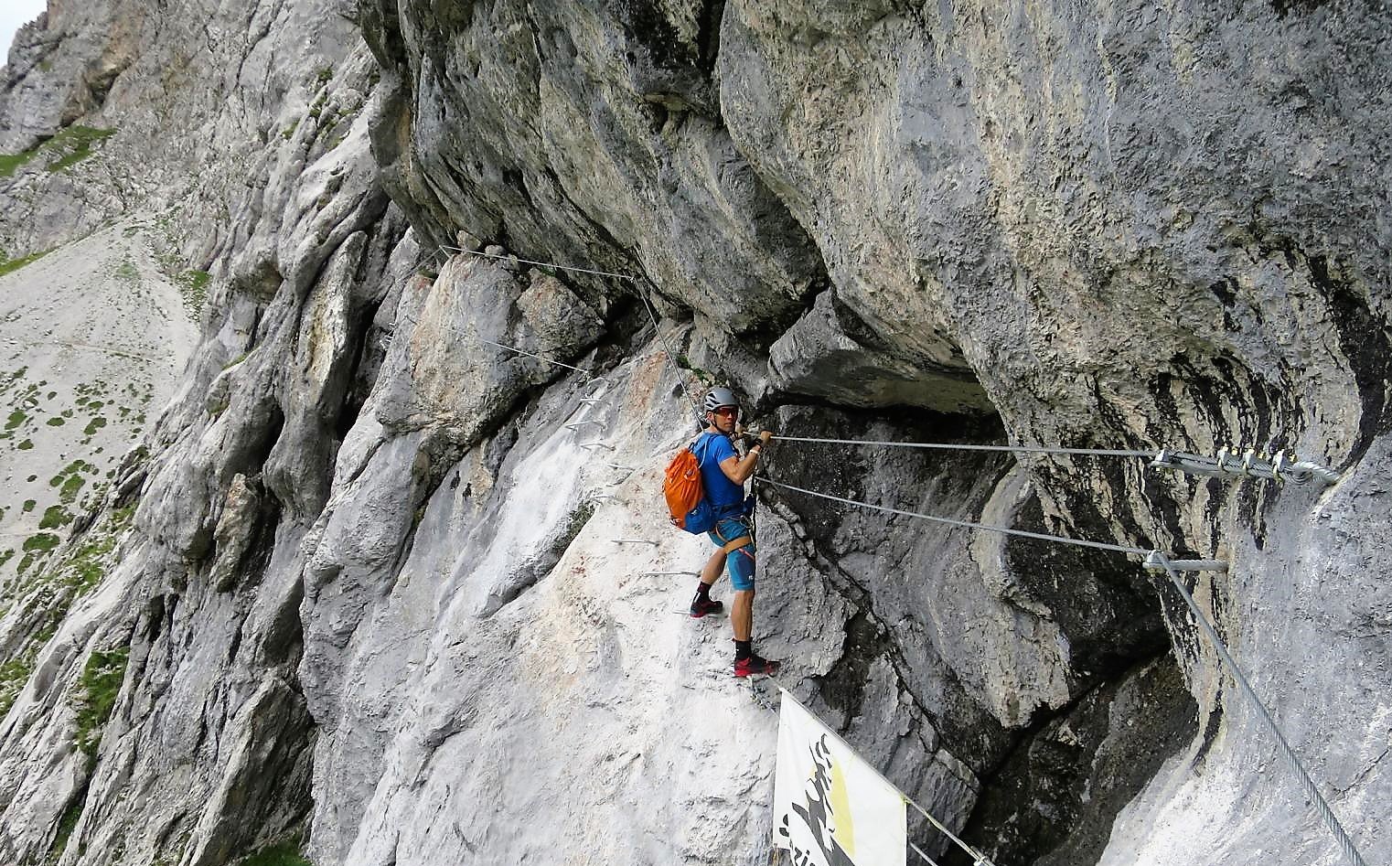
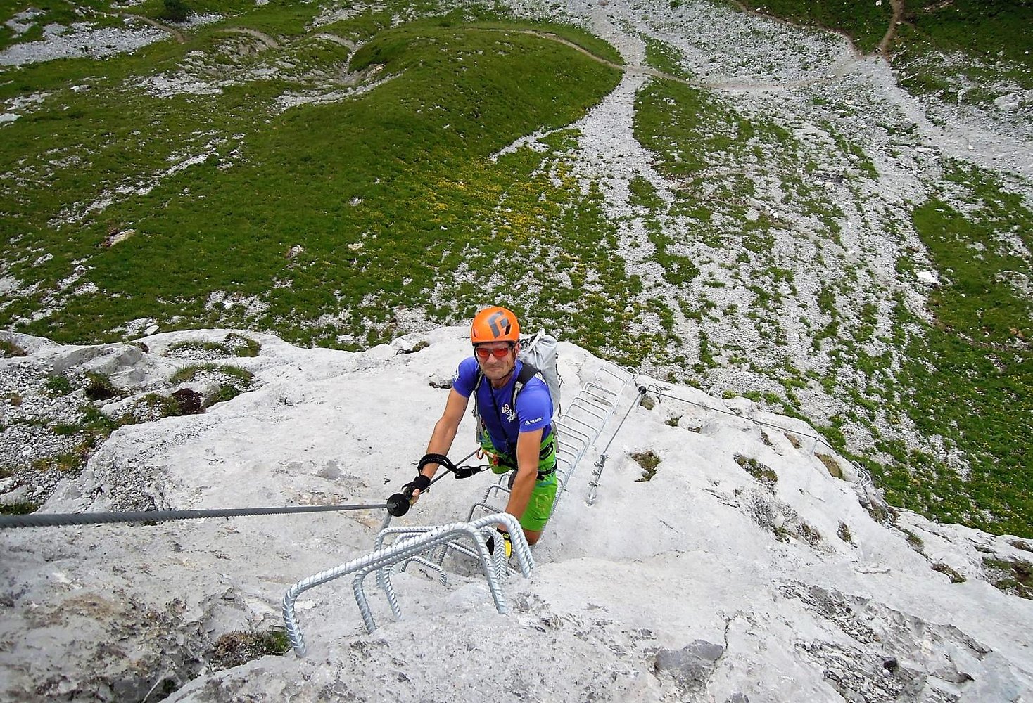
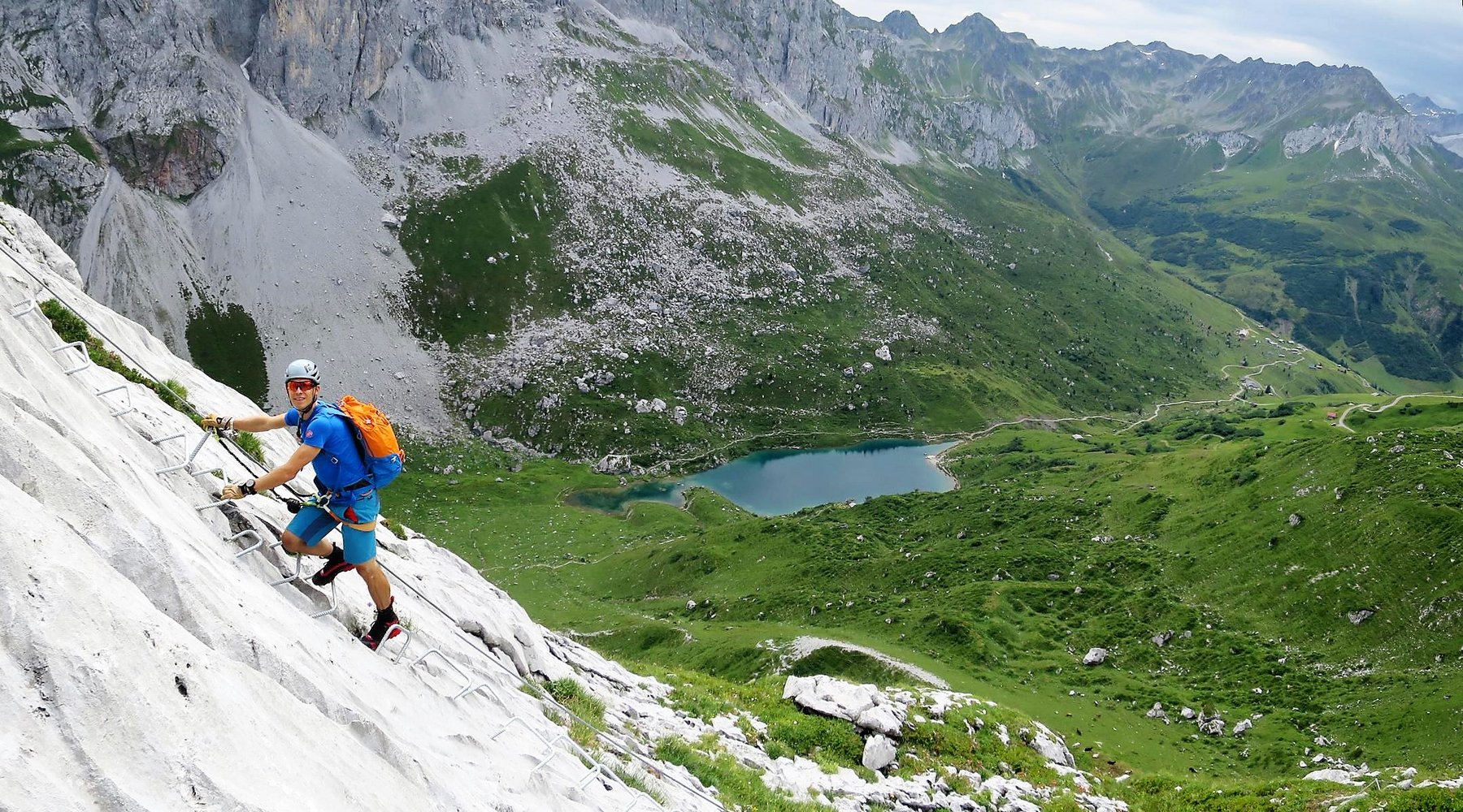
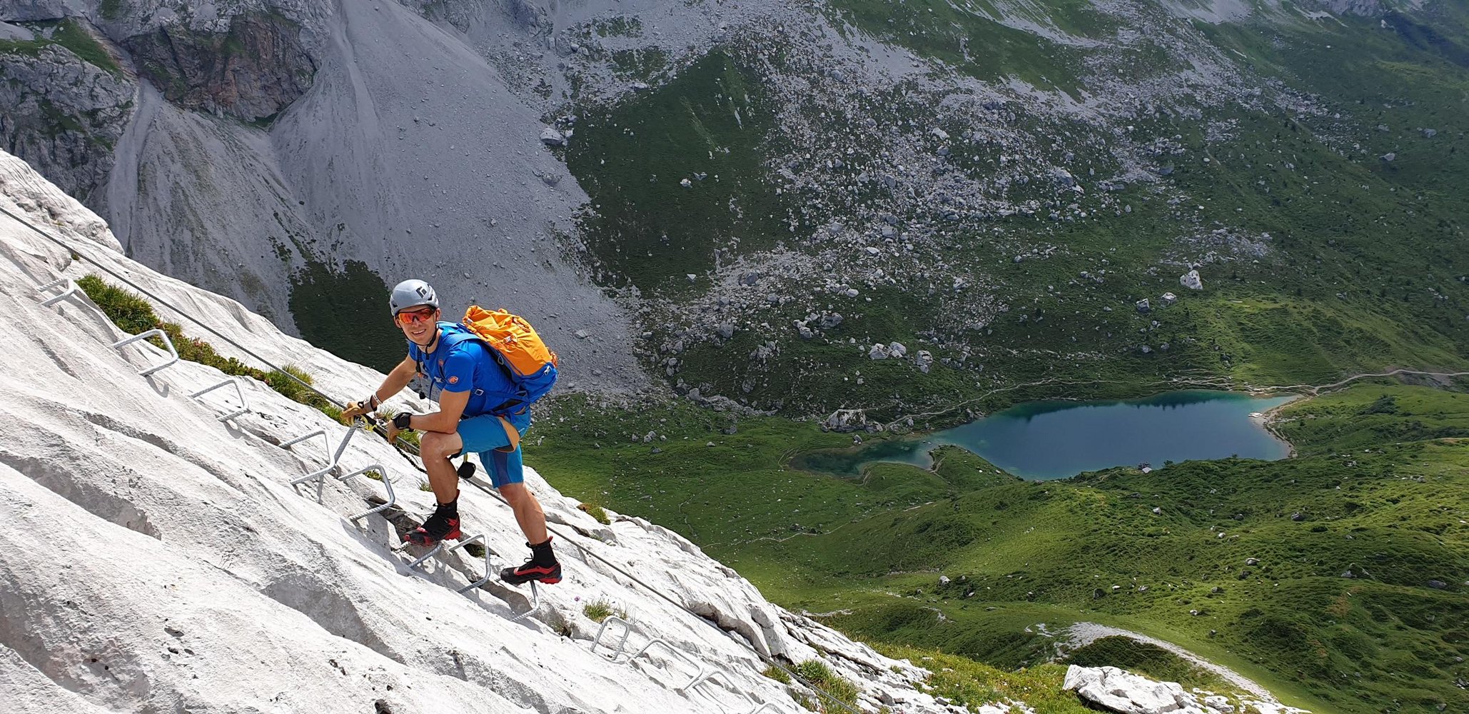
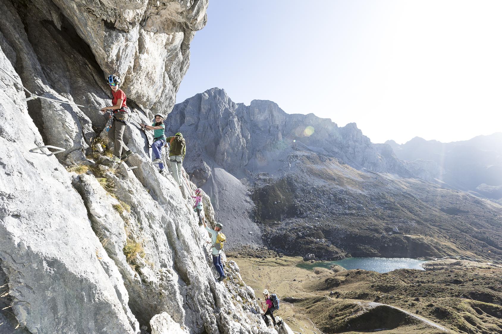
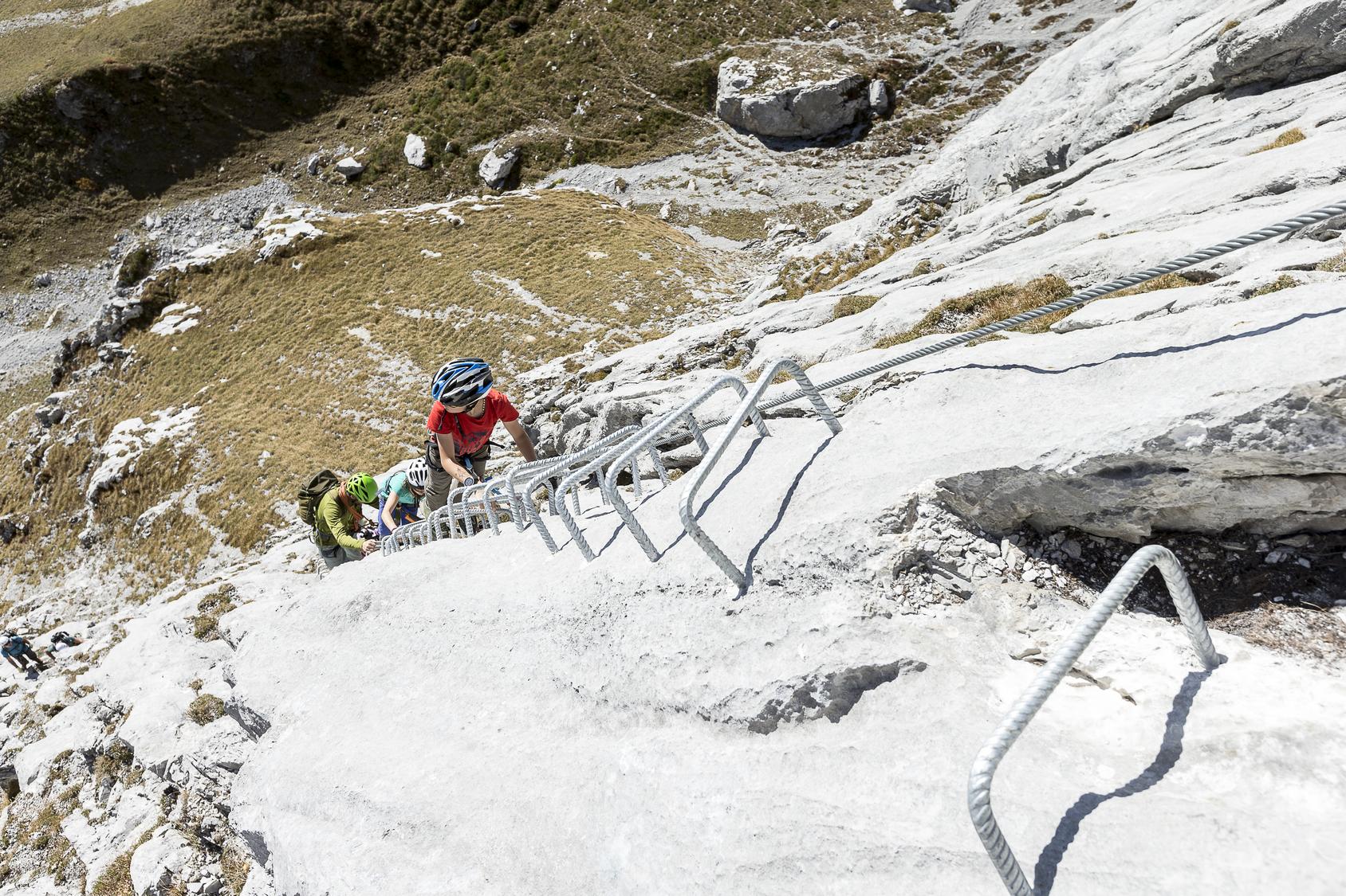
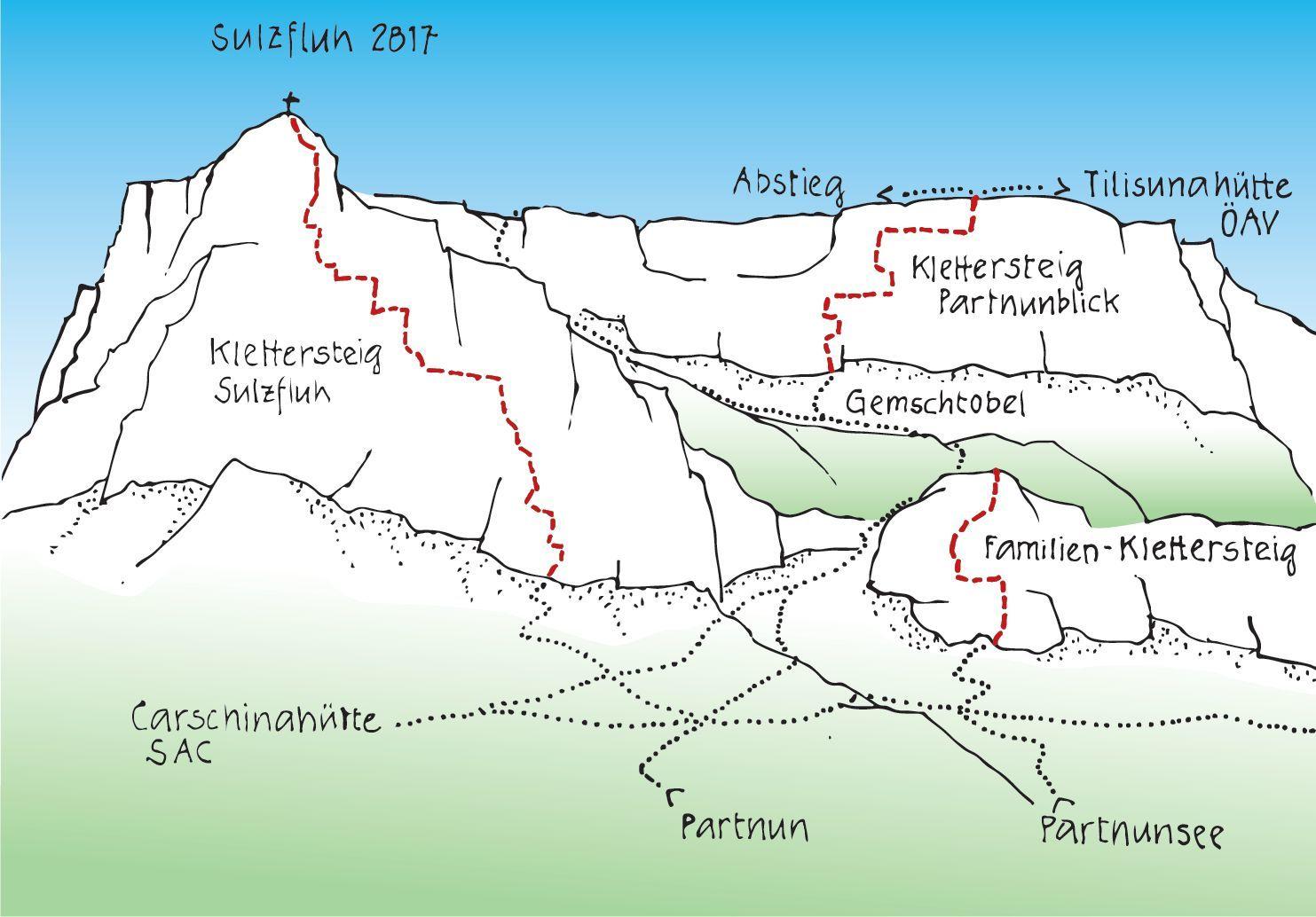
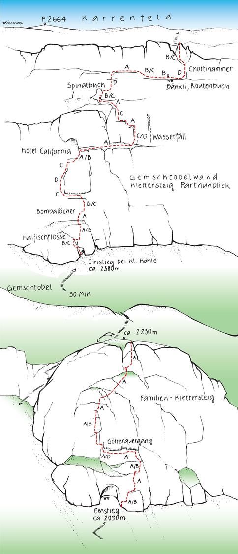
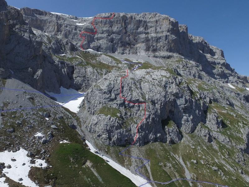
The Family Via Ferrata Partnunblick is a short, well-secured beginner route below the Gamstobelwand, right of the Sulzfluh. It climbs about 180 meters in zig-zag fashion, offering varied terrain with constant views over the deep-blue Partnunsee and surrounding peaks like Schijenflue and Sulzfluh. Both approach and descent are easy and of moderate length, making it ideal for families, with a possible stop at the lake for children. More ambitious climbers often use this route as an approach to the much harder Partnunblick via ferrata higher up, though that upper section is unsuitable for kids.
Zoomable topographic map showing available approach, via ferrata, descent, start, finish, and parking geometry. The Download GPX link near the route map heading provides the same route geometry as a file.
Segment timings and vertical stats from the current VFOS dataset.
Segment boundary derived from the source track, published entry elevation, and route description.
Segment boundary derived from the source track, published entry elevation, and route description.
Segment boundary derived from the source track, published entry elevation, and route description.
No escape point details are recorded yet.
Typical published season
The monthly window follows the owner-reviewed source guidance; live conditions can override it.
VFOS editorial ratings on a 1-5 scale.
Variety
How much the route changes in movement and terrain.
- -
Complexity
Route-finding and technical problem-solving beyond pure grade.
- -
Beauty
Scenery, setting, and overall aesthetic quality.
- -
Exposure
Airiness and exposure independent of technical difficulty.
- -
Sustained effort
How continuous or relentless the physical effort feels.
- -
No crux tags are recorded yet.
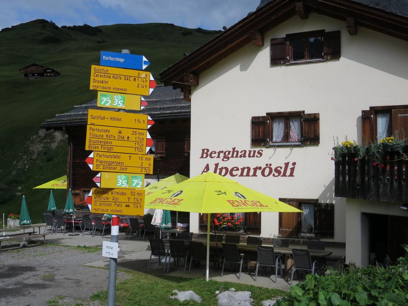
Plan around the trailhead, parking, and public transport links.
Last lift down
Check operator
Check current local information before setting off.
In Switzerland, call Rega on 1414 for mountain rescue. European emergency number: 112.
Cell coverage can be patchy in gorges, valleys, and behind ridges. Download route notes and tell someone your plan.
Avoid thunderstorms and wet rock. Via ferrata cables can become hazardous quickly in poor weather.
https://www.praettigau.info/de/aktivitaeten/sommer/klettern/klettersteige
Last scraped: 2 Aug 2026 · Opening-season source retained for status provenance.
https://www.bergsteigen.com/touren/klettersteig/familien-klettersteig-partnunblick/
Last scraped: 2 Aug 2026 · Owner-approved replacement source retained with harvested facts and attribution.
No contested fields are currently flagged.
Weather