Difficulty
K3
Difficult via ferrata
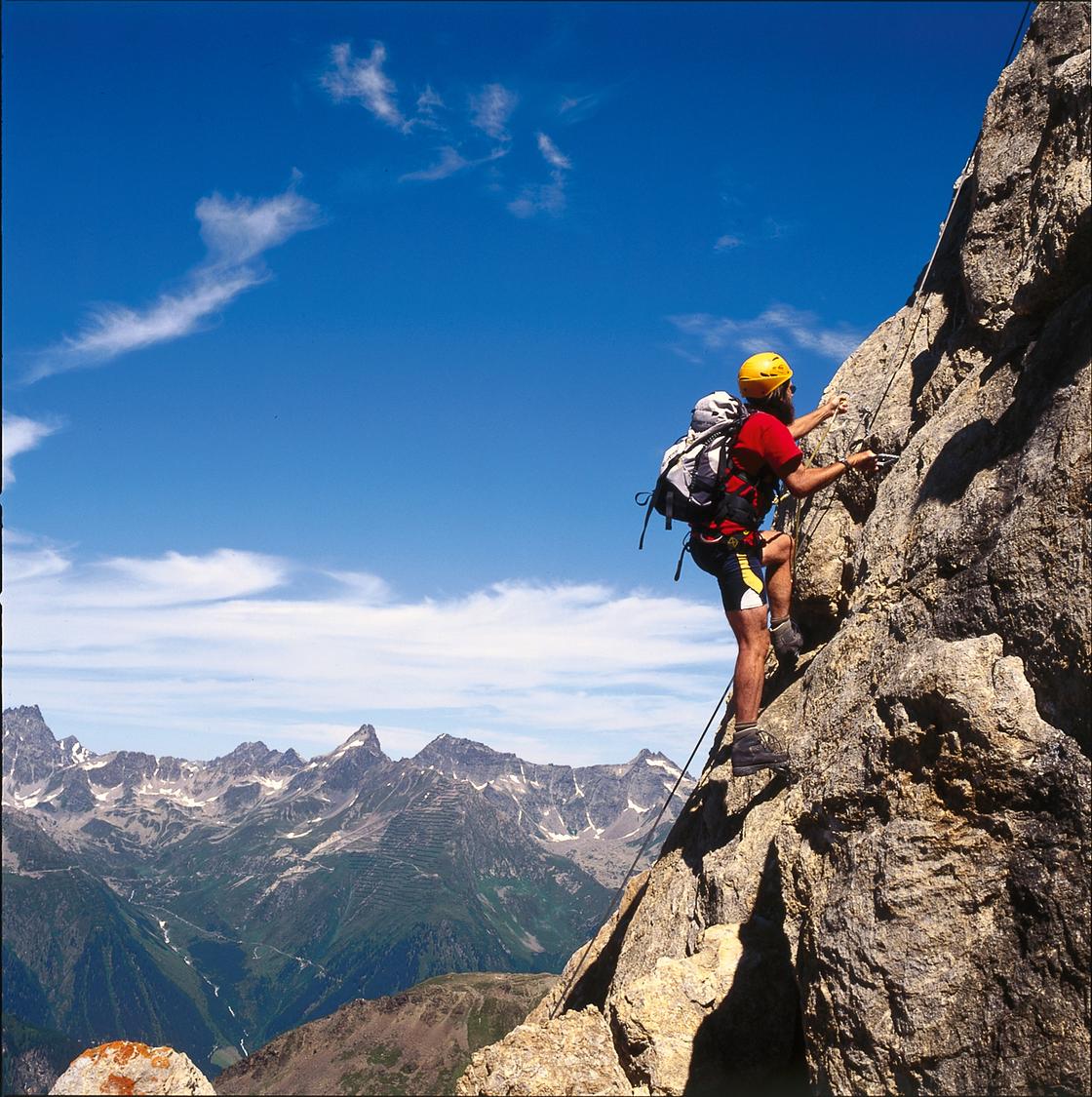
Alptrider Sattel, mountain station, GR
Image: Eugen E. und Hildegard Hüsler
Difficulty
K3
Difficult via ferrata
Current status
No confirmed live status; open-season calendar fallback
Checked 14 h ago
Total time
4 h
Approach + via ferrata + descent
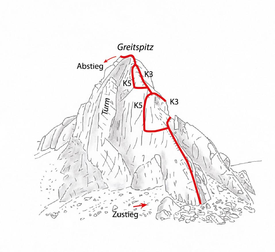
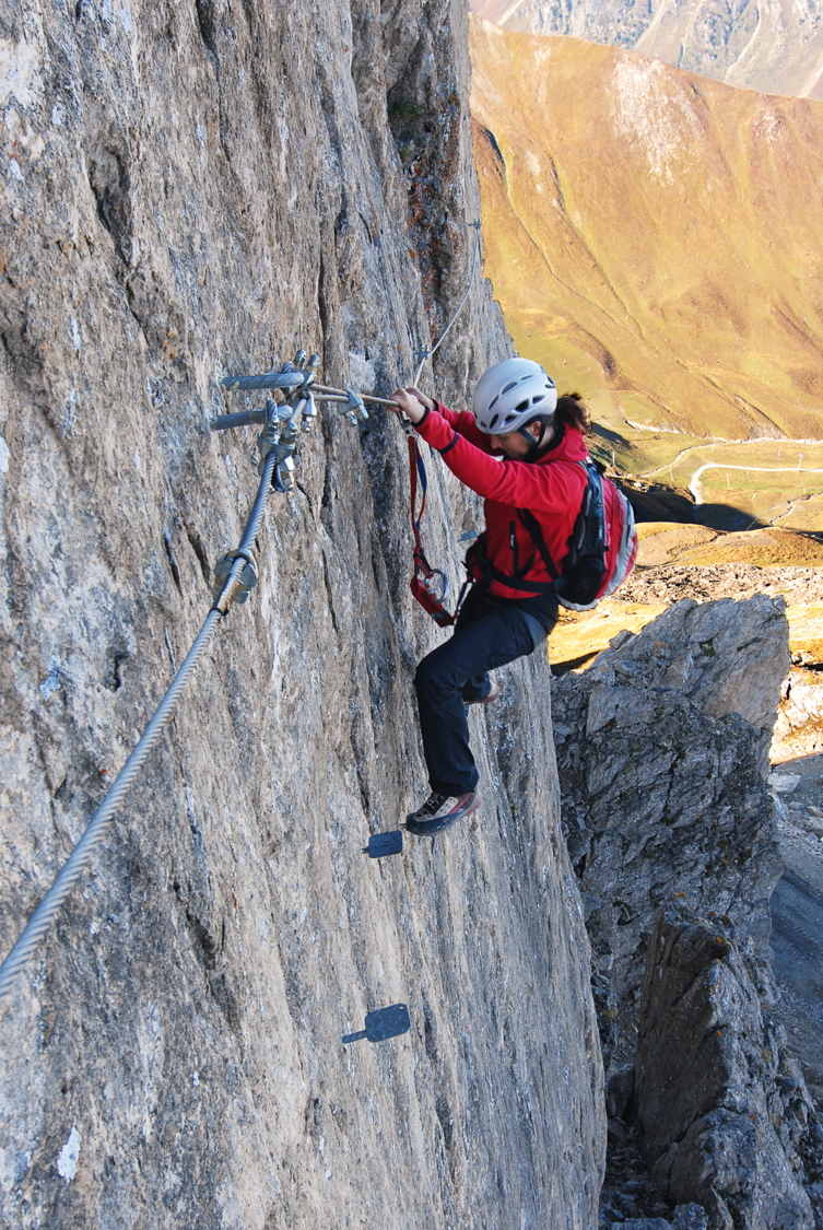
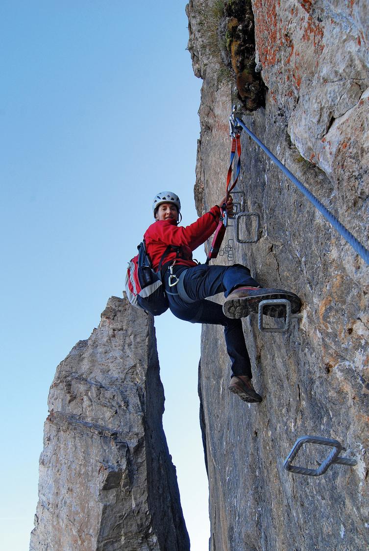
The Greitspitz via ferrata is a sporty steel-cable route above the Ischgl ski arena, offering two lines: a highly exposed, very demanding K5 variant and an easier K3 line that follows the west ridge with far less steepness and exposure. A long staple ladder features unusually wide anchor spacing, raising the fall risk on the harder variant. Both lines can be combined with the neighbouring Flimspitz via ferrata for a full day out.
Zoomable topographic map showing available approach, via ferrata, descent, start, finish, and parking geometry. The Download GPX link near the route map heading provides the same route geometry as a file.
Segment timings and vertical stats from the current VFOS dataset.
From the Alptrider Sattel cable car station, follow the marked path to the Ausser Viderjoch (Flimsattel). At the Idjochbahn top station turn right along the ridge toward the Greitspitz lift, following the via ferrata signage. Descend gently on a wide gravel track, cross an old moraine ridge, then follow coloured markings up beneath the Greitspitz outcrops to the start of the climb.
The route begins steeply up slabby, rough rock, easing across a flatter ridge section before a second, slightly easier rise. Here the route splits: the left-hand line pushes out into an exposed open wall on widely spaced rungs before a vertical run of offset staples, while the right-hand line stays closer to the ridge as the easier option. The two variants meet briefly on the ridge before the harder line detours left again, dropping slightly then traversing the smooth wall, spanning a rock cleft, and climbing back to vertical before finally rejoining the easier variant for the last stretch to the summit cross.
Descend along the rocky east ridge of the East summit, then climb over scree to the rounded main summit (misleadingly named Greitspitz) where the cable car station is located. From there head north along the ridge and cross the high plateau back to the top station at the Alptrider Sattel.
No escape point details are recorded yet.
Typical published season
Live status source; no fixed annual season was published.
VFOS editorial ratings on a 1-5 scale.
Variety
How much the route changes in movement and terrain.
- -
Complexity
Route-finding and technical problem-solving beyond pure grade.
- -
Beauty
Scenery, setting, and overall aesthetic quality.
- -
Exposure
Airiness and exposure independent of technical difficulty.
- -
Sustained effort
How continuous or relentless the physical effort feels.
- -
No crux tags are recorded yet.
Source ratings on the SAC-CAS 1-4 scale.
Plan around the trailhead, parking, and public transport links.
Last lift down
Check operator
Check current local information before setting off.
In Switzerland, call Rega on 1414 for mountain rescue. European emergency number: 112.
Cell coverage can be patchy in gorges, valleys, and behind ridges. Download route notes and tell someone your plan.
Avoid thunderstorms and wet rock. Via ferrata cables can become hazardous quickly in poor weather.
https://www.ischgl.com/de/sommer/sommerbergbahn/geoeffnete-anlagen?type=climbing
Last scraped: 2 Aug 2026 · Opening-season source retained for status provenance.
https://www.sac-cas.ch/de/huetten-und-touren/sac-tourenportal/greitspitz-7435/berg-und-alpinwandern/zustieg-greitspitz-klettersteig-863/
Last scraped: 2 Aug 2026 · Official SAC-CAS Route Portal source; English API data and attribution retained.
https://www.sac-cas.ch/de/huetten-und-touren/sac-tourenportal/greitspitz-7435/berg-und-alpinwandern/abstieg-greitspitz-klettersteig-864/
Last scraped: 2 Aug 2026 · Official SAC-CAS Route Portal source; English API data and attribution retained.
https://www.sac-cas.ch/de/huetten-und-touren/sac-tourenportal/greitspitz-7435/klettersteig/greitspitz-klettersteig-677/
Last scraped: 2 Aug 2026 · Official SAC-CAS Route Portal source; English API data and attribution retained.
No contested fields are currently flagged.
Weather