Difficulty
K4
Very difficult via ferrata
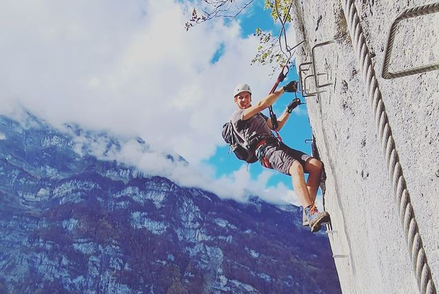
Netstal, GL
Image: Via-Ferrata.de
Difficulty
K4
Very difficult via ferrata
Current status
No reliable current status yet
Checked 14 h ago
Total time
2 h 10 min
Approach + via ferrata + descent
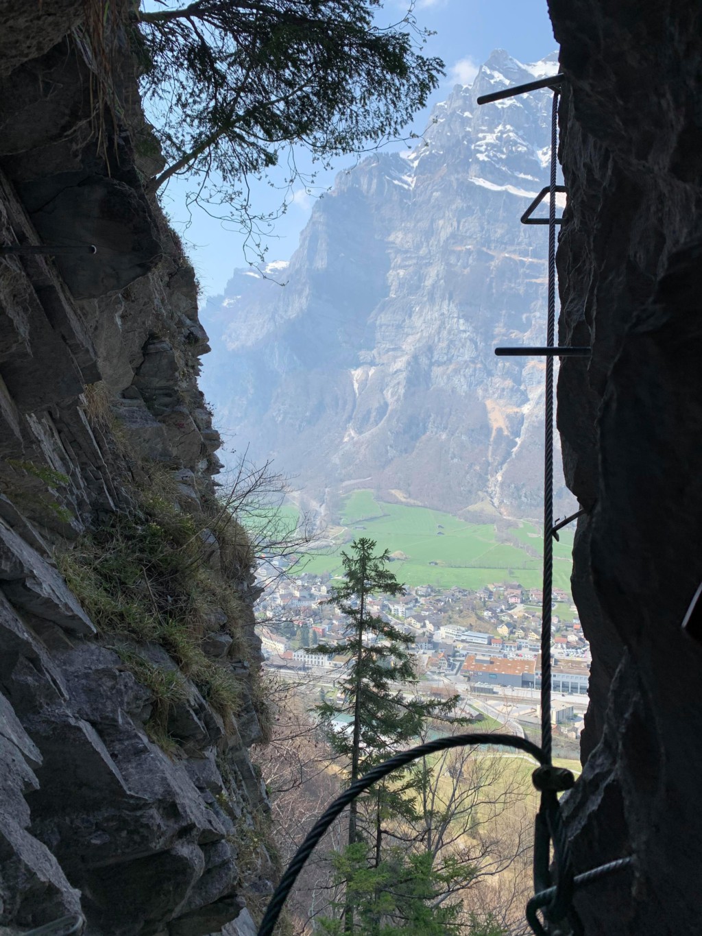
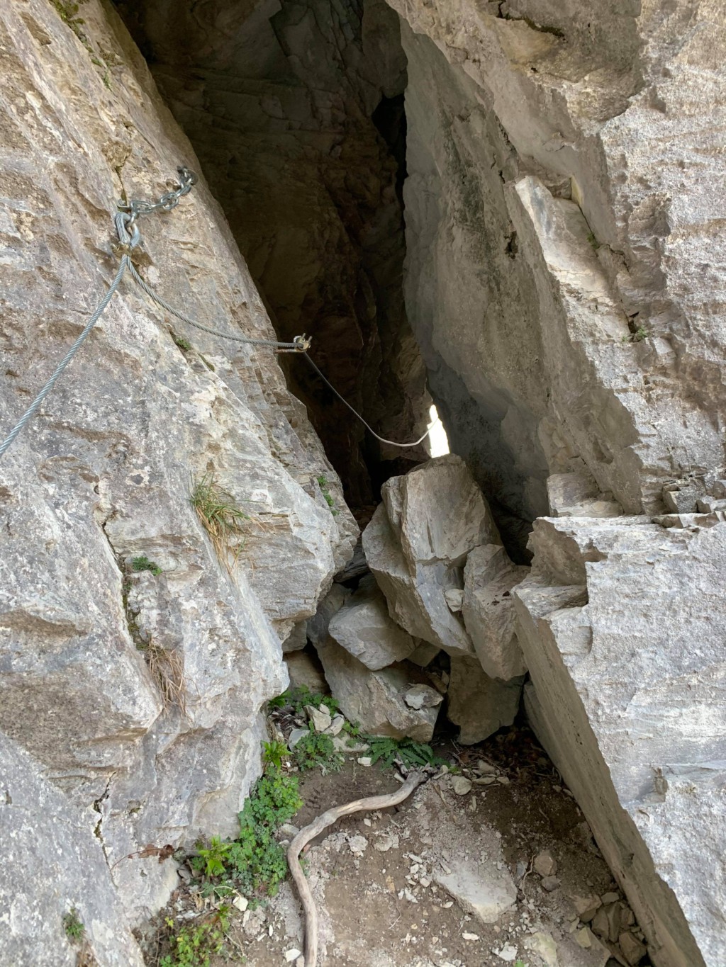
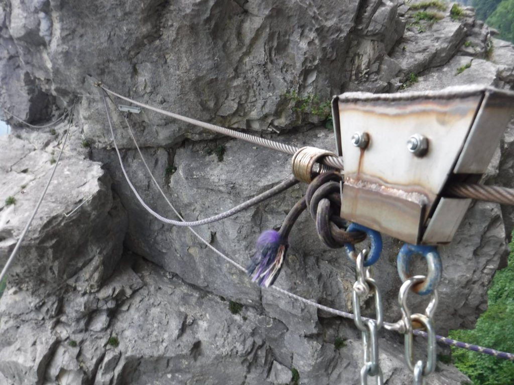
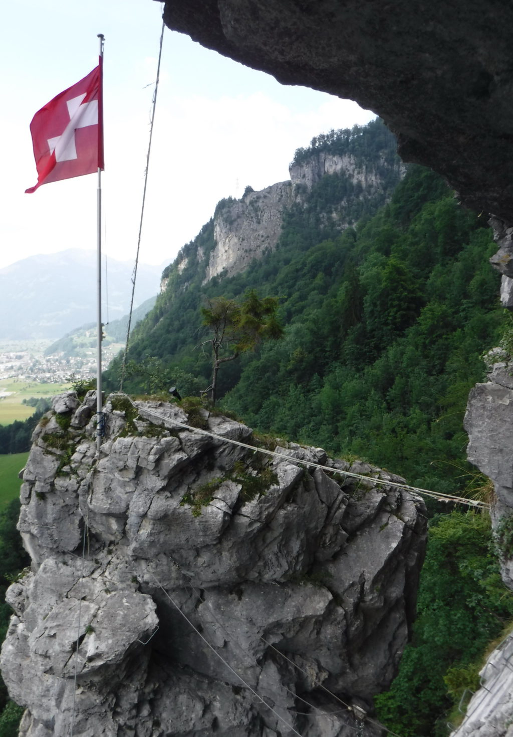
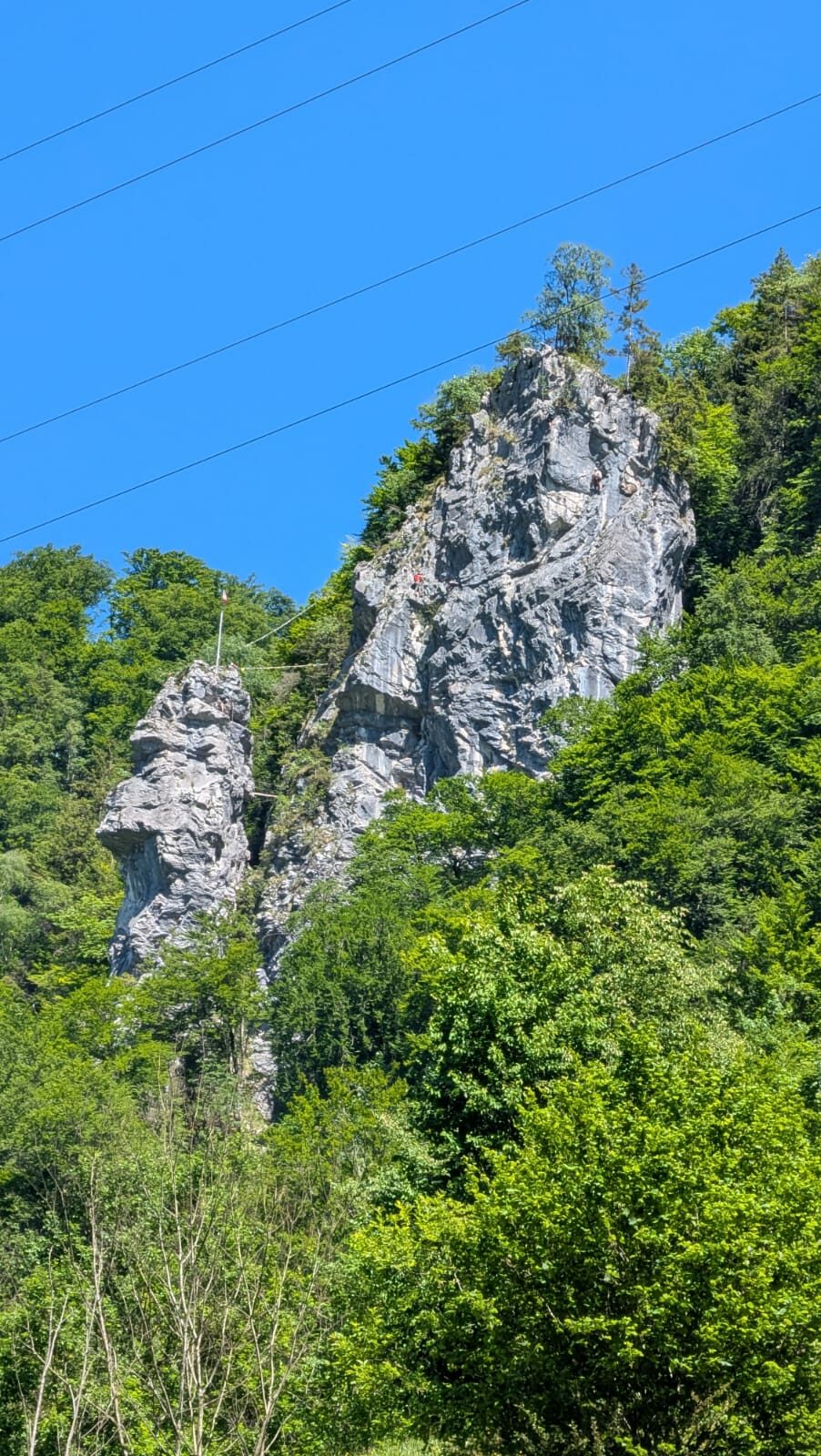
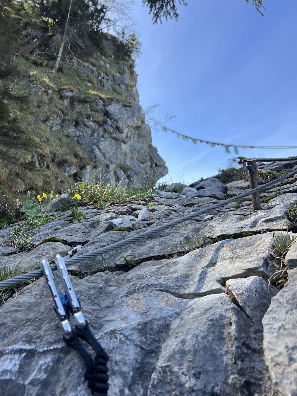
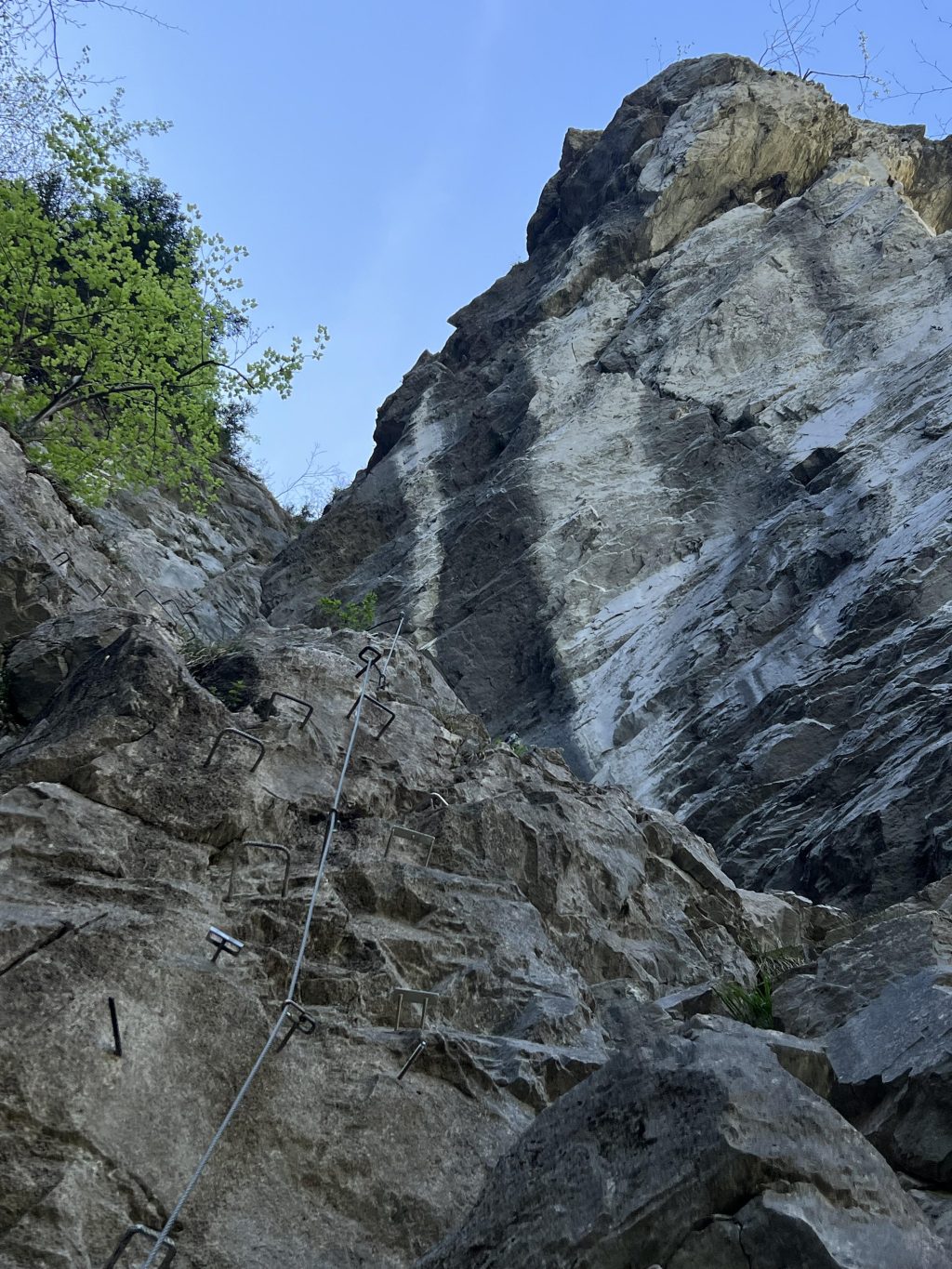
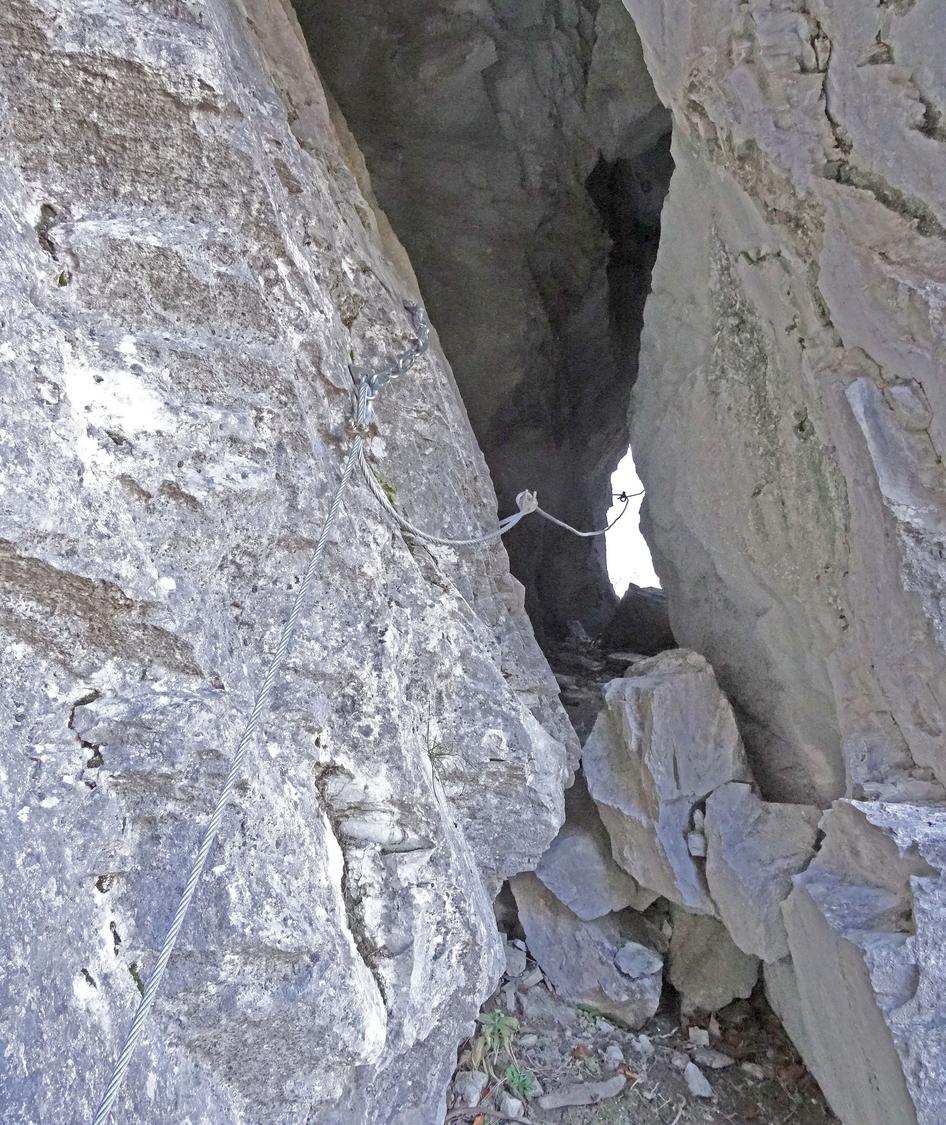
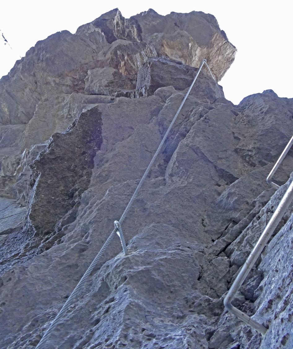
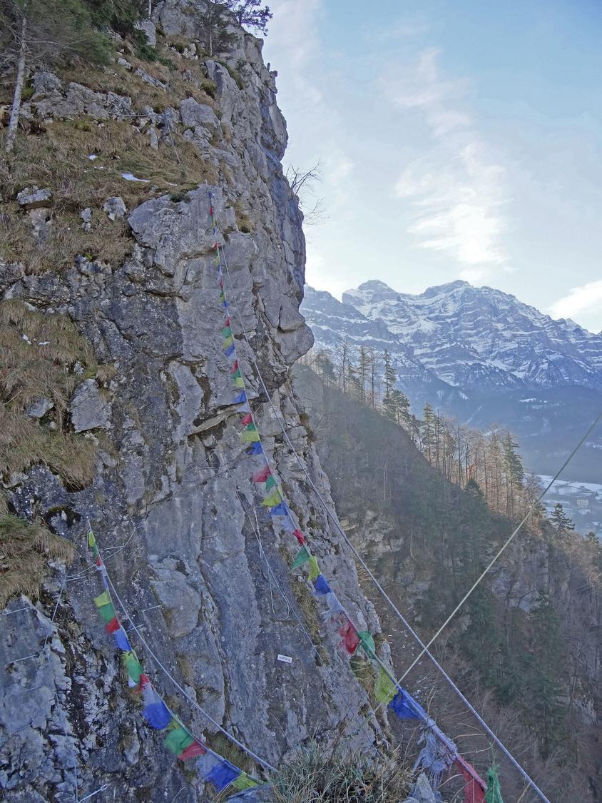
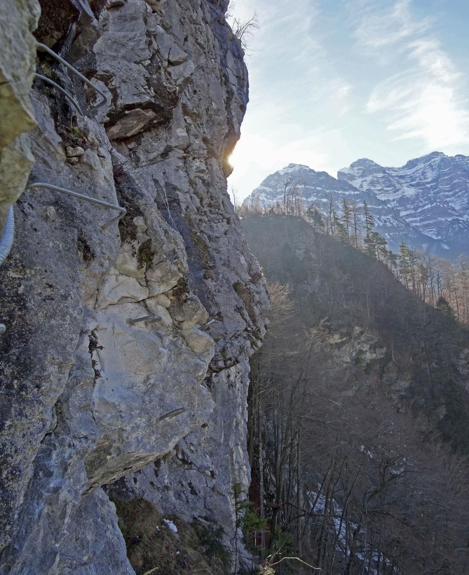
The Indianer-Klettersteig, built in June 2012 near Schlatt, is a K4+ route featuring steel rungs, T-shaped pins, and a short cave passage housing an old field telephone. It climbs to a 70 m rock tower flying the Swiss flag, includes a short zip-line traverse, and finishes along an airy rock ridge with a gap to straddle. The whole via ferrata takes about 50 minutes.
Zoomable topographic map showing available approach, via ferrata, descent, start, finish, and parking geometry. The Download GPX link near the route map heading provides the same route geometry as a file.
Segment timings and vertical stats from the current VFOS dataset.
Crux: rock_head_ascent_and_ridge_traverse.
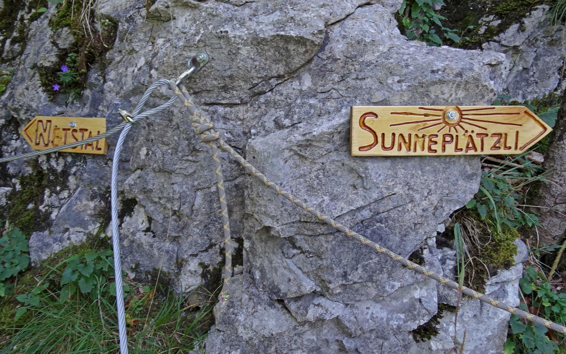
A clear path leads north through the forest (signed "Netstal") to a gravel track near a wooden bridge. Cross the bridge and continue east, first uphill then gently down to a clearing with a picnic table and viewpoint, reaching the Gründen woodpile (650 m). Here take the red-white waymarked path right toward Grüben/Otschlag, descending in switchbacks to a junction (about 30 minutes). Continue through the lower forest to the meadow with the Schlattstein, rejoining the gravel path back down to the Schlatt parking area (about 15 minutes).
No escape point details are recorded yet.
VFOS editorial ratings on a 1-5 scale.
Variety
How much the route changes in movement and terrain.
- -
Complexity
Route-finding and technical problem-solving beyond pure grade.
- -
Beauty
Scenery, setting, and overall aesthetic quality.
- -
Exposure
Airiness and exposure independent of technical difficulty.
- -
Sustained effort
How continuous or relentless the physical effort feels.
- -
No crux tags are recorded yet.
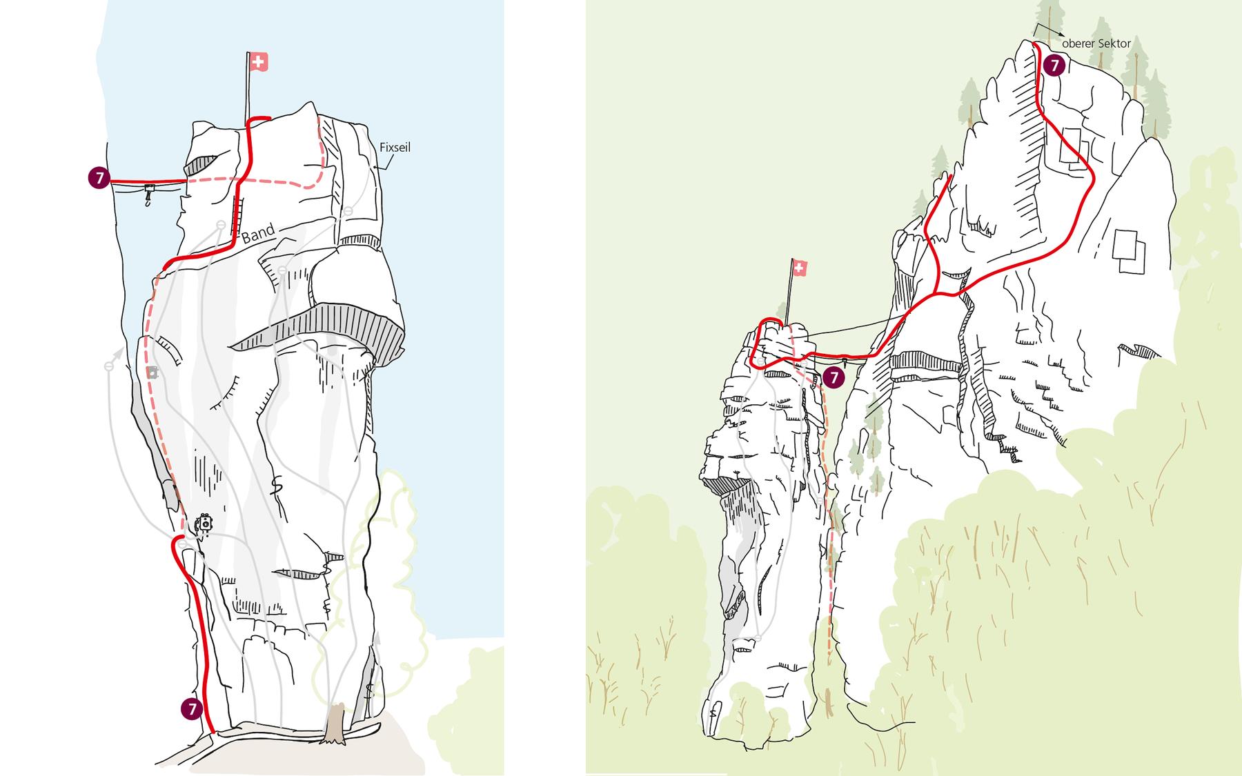
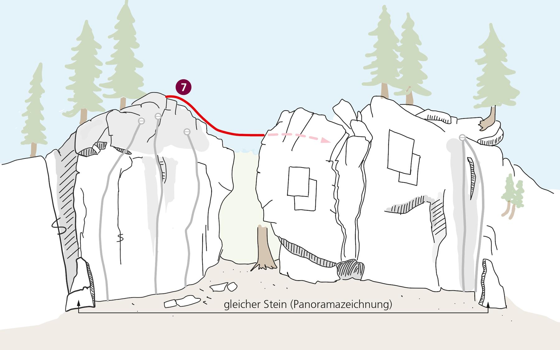
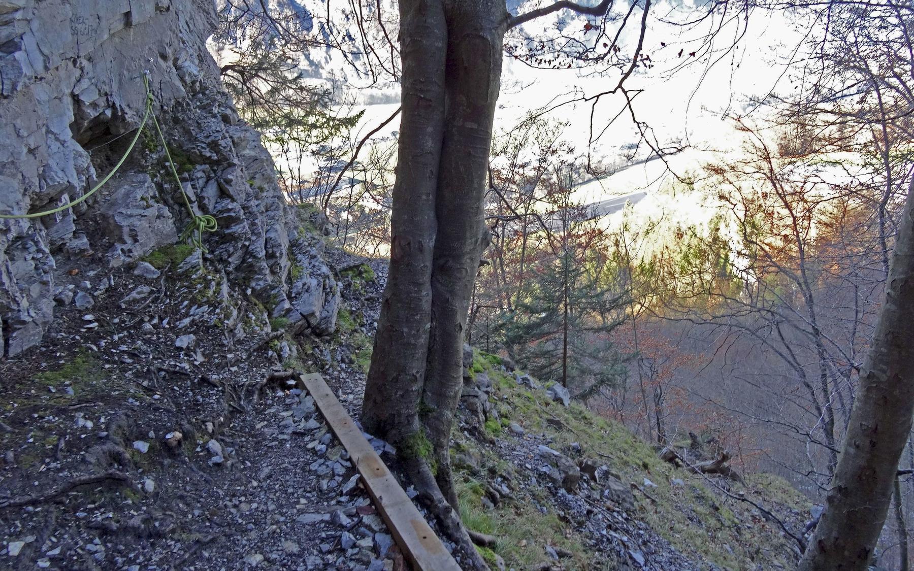
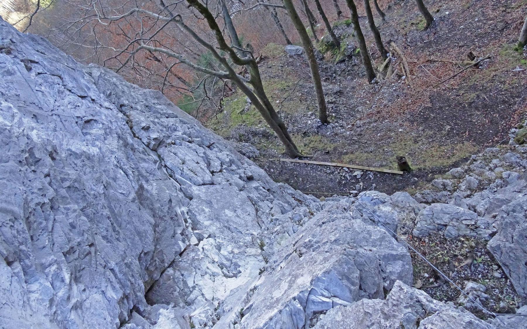
Plan around the trailhead, parking, and public transport links.
Last lift down
Check operator
Schlatt trailhead, Netstal
Gravel parking area near the Schlatt signpost.
Check current local information before setting off.
In Switzerland, call Rega on 1414 for mountain rescue. European emergency number: 112.
Cell coverage can be patchy in gorges, valleys, and behind ridges. Download route notes and tell someone your plan.
This route is flagged as exposed or high-grade; avoid thunderstorms, wet cables, and fast-changing alpine weather.
https://glarnerland.ch/en/map/detail-poi/indianer-klettersteig--id--tou_s9t_rrgrtrsa-vute-etrv-jvgj-qidvfbsetfef.html
Last scraped: 2 Aug 2026 · Opening-season source retained for status provenance.
https://www.via-ferrata.de/klettersteige/topo/klettersteig-indianer#Topo
Last scraped: 2 Aug 2026 · Owner-approved replacement source retained with harvested facts and attribution.
No contested fields are currently flagged.
Weather