Difficulty
K2
Moderate via ferrata
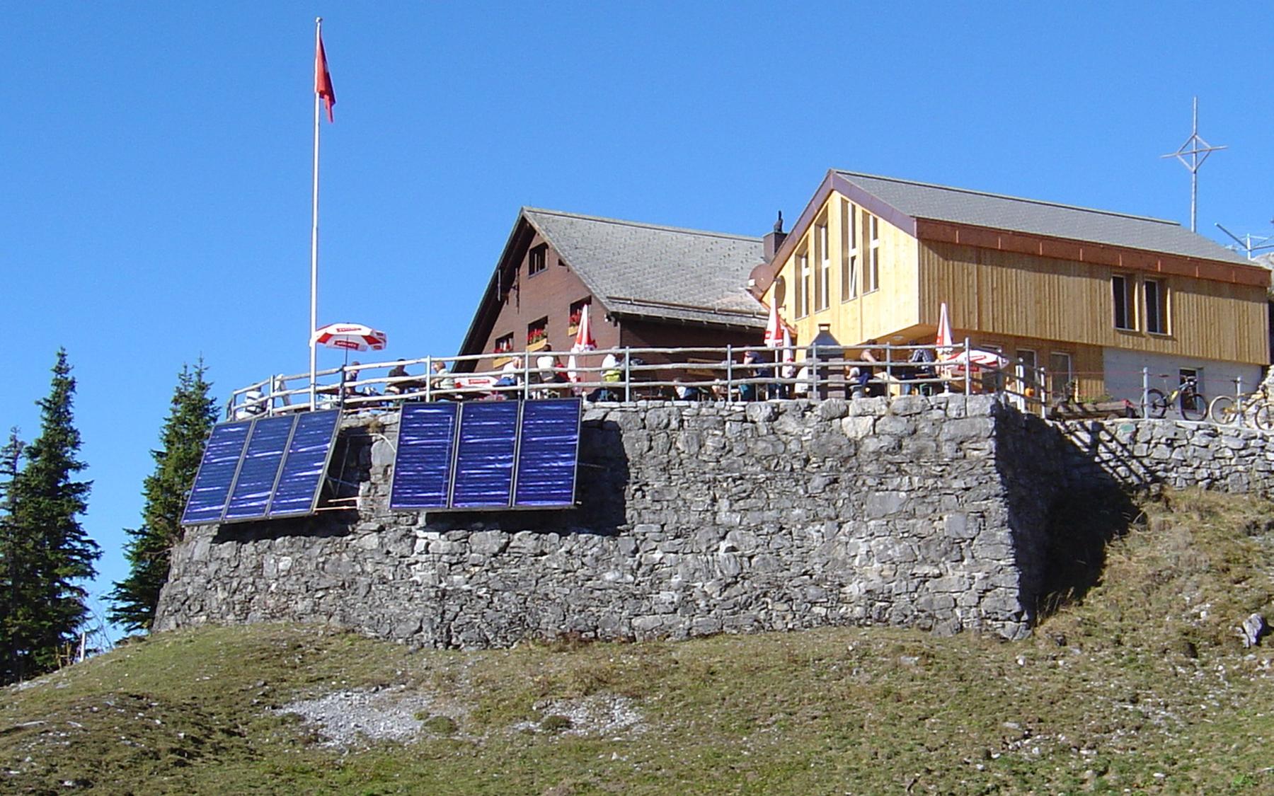
Brunnihütte, top station, OW
Image: Fabian Lippuner
Difficulty
K2
Moderate via ferrata
Current status
No reliable current status yet
Checked 14 h ago
Total time
1 h
Approach + via ferrata + descent
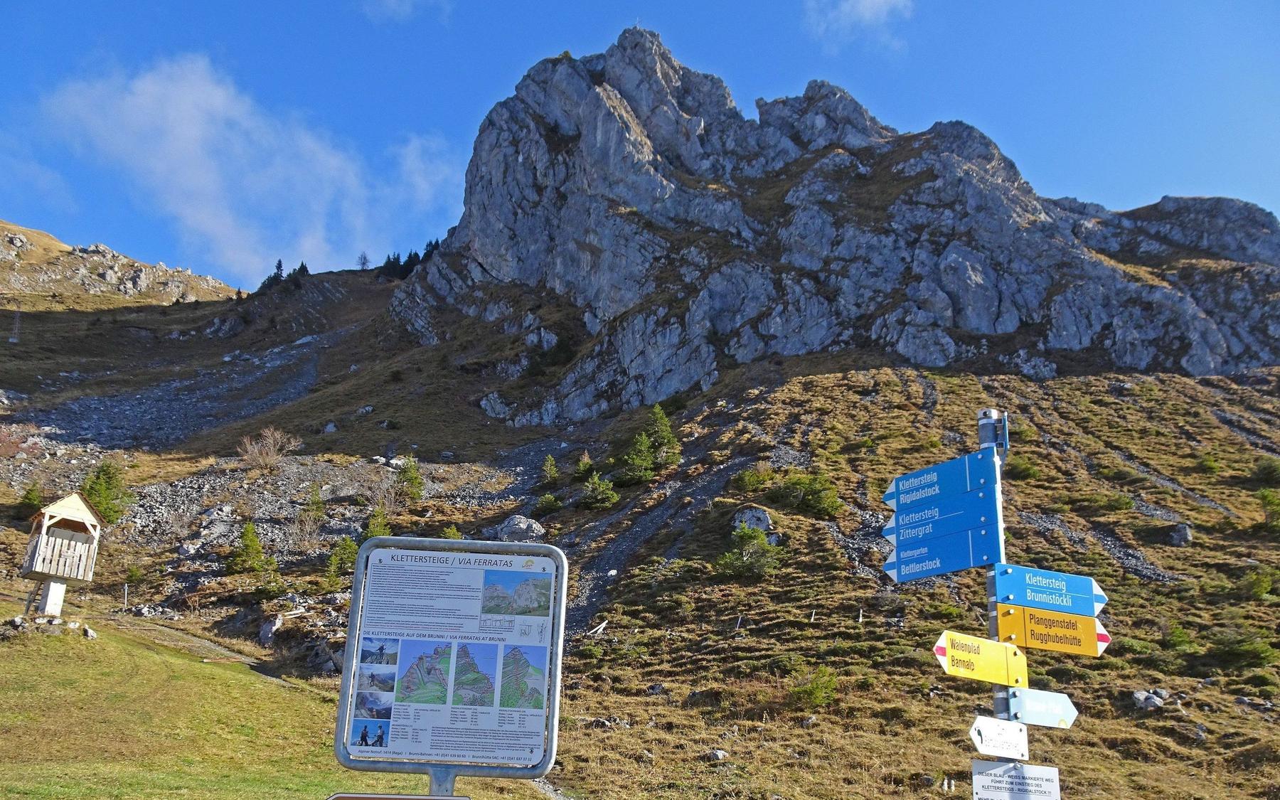
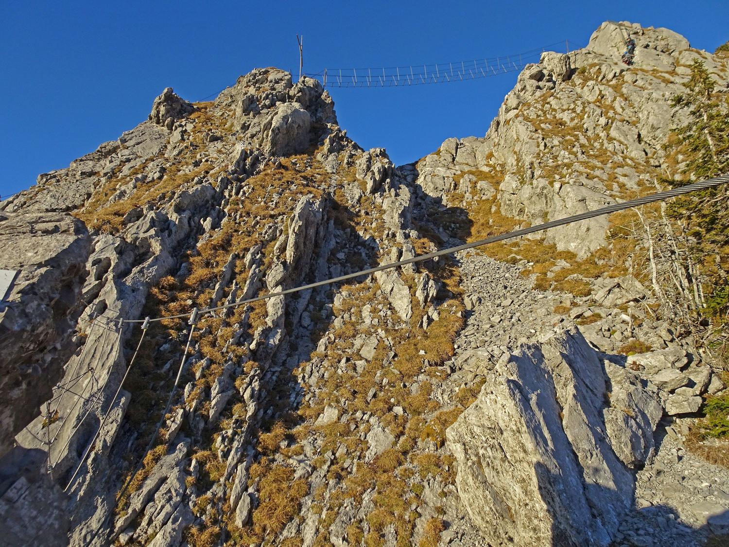
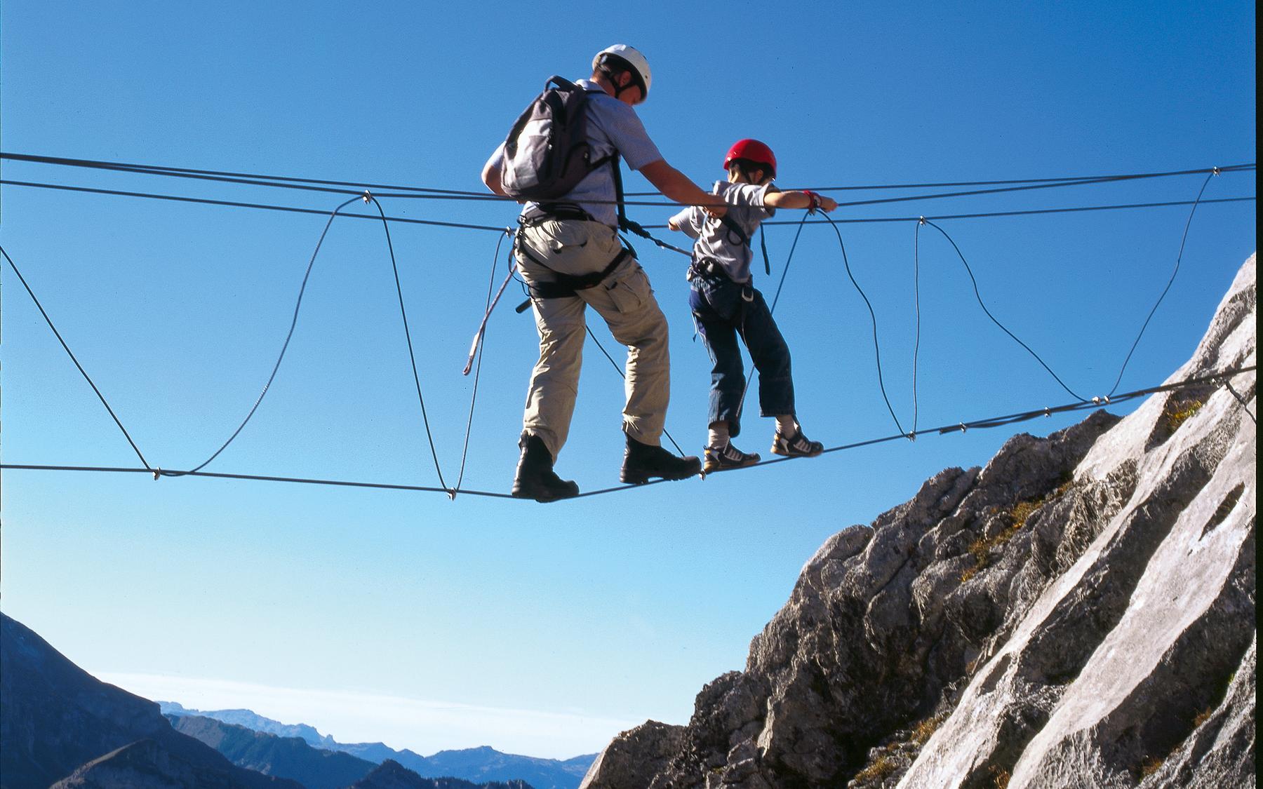
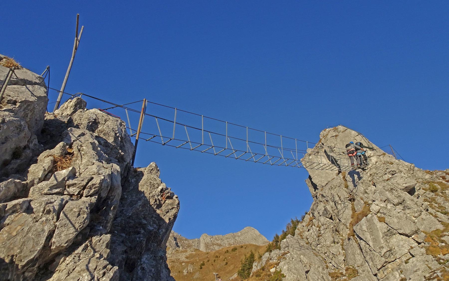
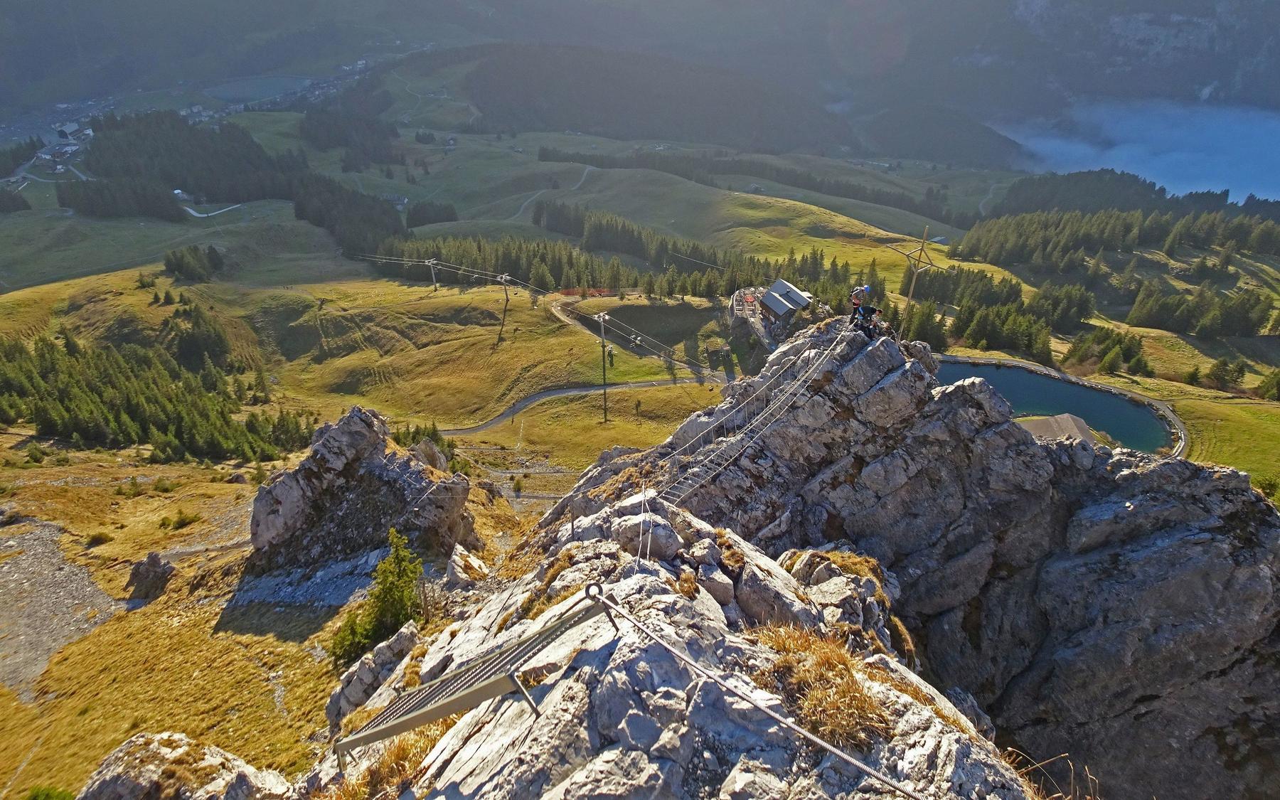
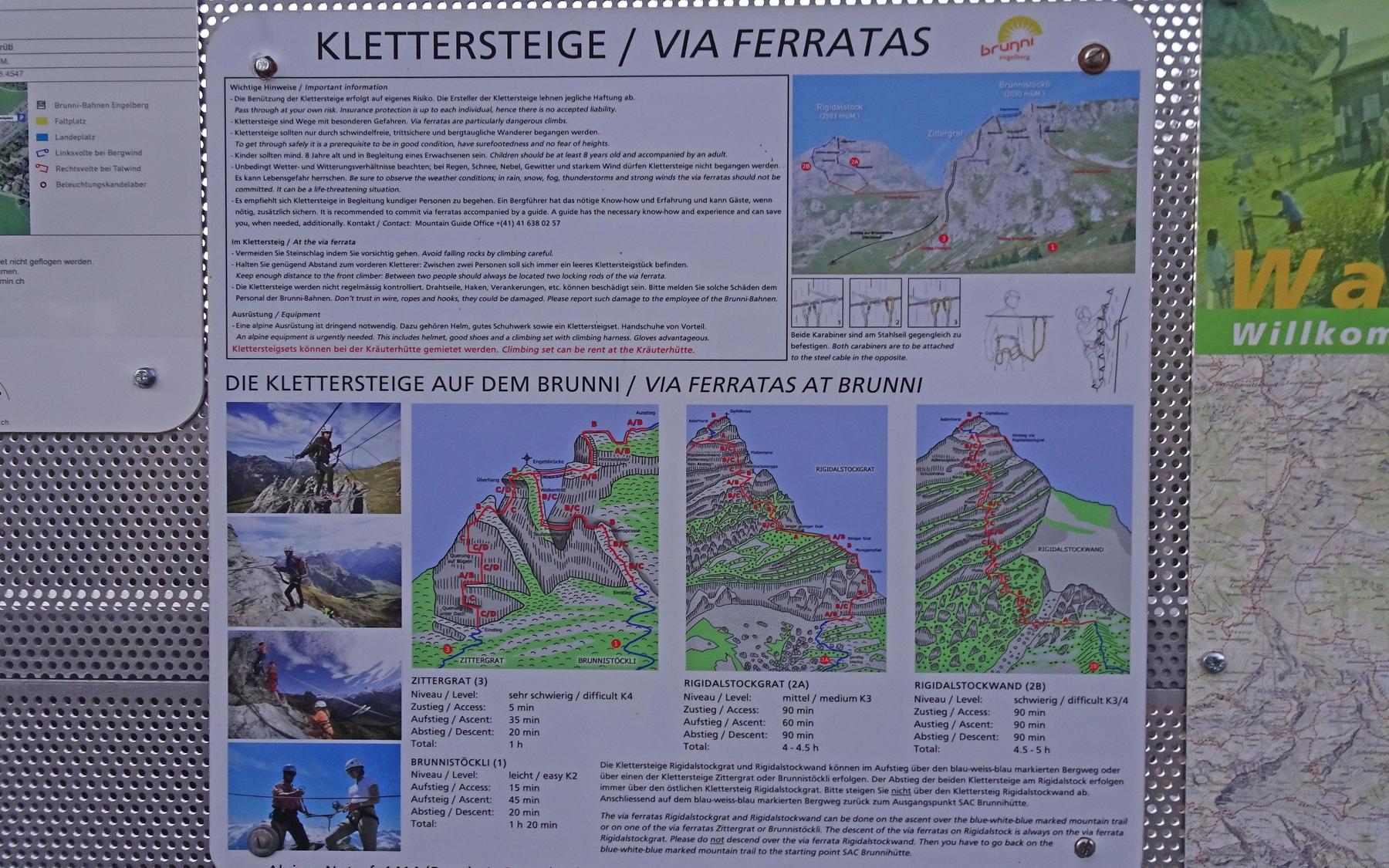
Brunnistöckli's via ferrata is a short K2 route well suited to beginners, offering exposure without excessive difficulty or length. It features two bridges, including an 8-metre three-cable span, and finishes along the summit ridge to Schonegg. A steeper connecting variant, Zittergrat, climbs vertical walls before joining the main route near the suspension bridge, appealing to those confident clipping karabiners on steep ground.
Zoomable topographic map showing available approach, via ferrata, descent, start, finish, and parking geometry. The Download GPX link near the route map heading provides the same route geometry as a file.
Segment timings and vertical stats from the current VFOS dataset.
From Brunnihütte, either head briefly toward Rugghubelhütte then turn left to reach the ridge start of the Brunnistöckli ferrata, or from the chairlift top station walk past Brunnihütte, skirt right of the Härzliseeli, and cross scree to the Zittergrat start at about 1890 m.
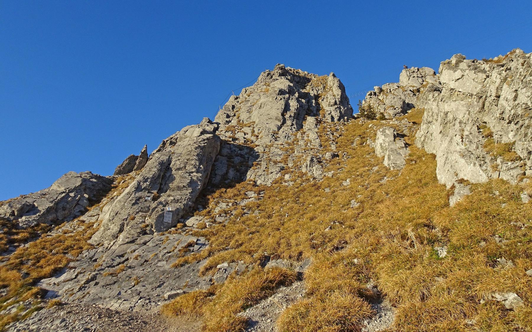
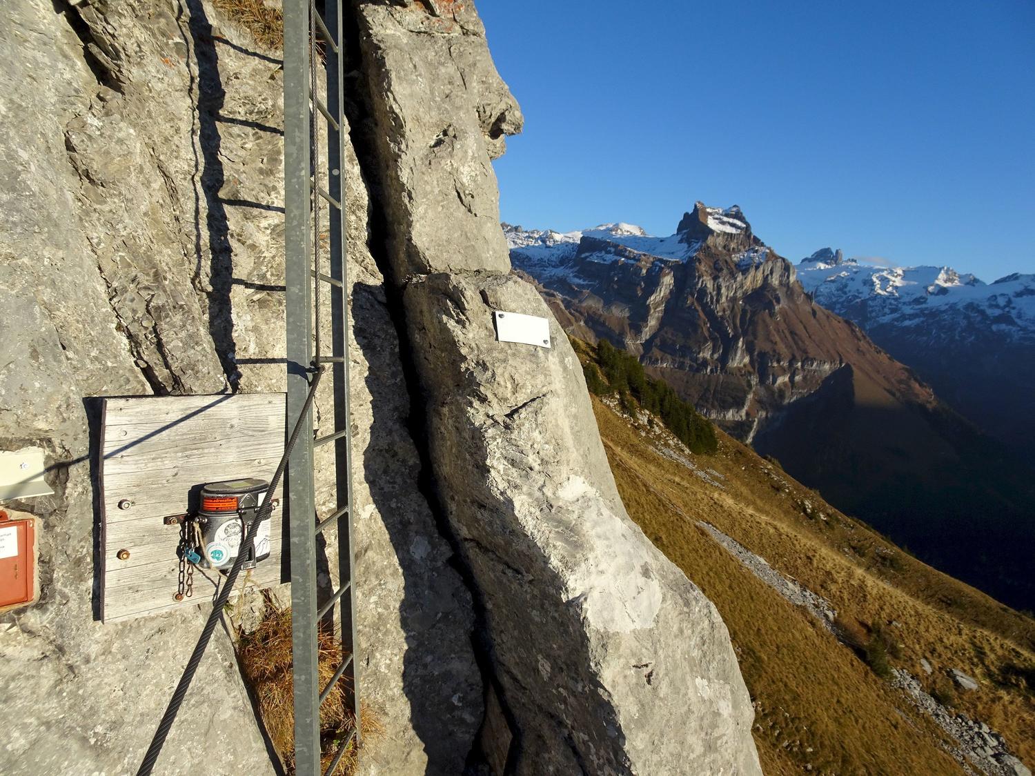
Climb the ridge using numerous iron rungs, then round a corner to cross an 8-metre three-cable bridge. Beyond it, ascend steep but well-protected rock to an outcrop marked with a cross, then cross a long, gently rising suspension bridge to reach the Brunnistöckli summit ridge (ca. 2030 m). Follow the ridge to the route's end at Schonegg. Zittergrat climbers instead tackle vertical walls, including a layaway traverse, before merging with the main route near the suspension bridge.
From the ferrata's end, follow the white-blue-white marked trail westward back down to Brunnihütte.
No escape point details are recorded yet.
Typical published season
Weather-dependent approximate dates.
VFOS editorial ratings on a 1-5 scale.
Variety
How much the route changes in movement and terrain.
- -
Complexity
Route-finding and technical problem-solving beyond pure grade.
- -
Beauty
Scenery, setting, and overall aesthetic quality.
- -
Exposure
Airiness and exposure independent of technical difficulty.
- -
Sustained effort
How continuous or relentless the physical effort feels.
- -
No crux tags are recorded yet.
Source ratings on the SAC-CAS 1-4 scale.
Plan around the trailhead, parking, and public transport links.
Last lift down
Check operator
Check current local information before setting off.
In Switzerland, call Rega on 1414 for mountain rescue. European emergency number: 112.
Cell coverage can be patchy in gorges, valleys, and behind ridges. Download route notes and tell someone your plan.
Avoid thunderstorms and wet rock. Via ferrata cables can become hazardous quickly in poor weather.
https://www.engelbergmountainguide.ch/en/summer/via-ferrata/opening-times/
Last scraped: 2 Aug 2026 · Opening-season source retained for status provenance.
https://www.sac-cas.ch/de/huetten-und-touren/sac-tourenportal/brunnistoeckli-7438/berg-und-alpinwandern/zustieg-klettersteig-brunnistoeckli-und-zittergrat-1696/
Last scraped: 2 Aug 2026 · Official SAC-CAS Route Portal source; English API data and attribution retained.
https://www.sac-cas.ch/de/huetten-und-touren/sac-tourenportal/brunnistoeckli-7438/berg-und-alpinwandern/abstieg-klettersteig-brunnistoeckli-und-zittergrat-1698/
Last scraped: 2 Aug 2026 · Official SAC-CAS Route Portal source; English API data and attribution retained.
https://www.sac-cas.ch/de/huetten-und-touren/sac-tourenportal/brunnistoeckli-7438/klettersteig/klettersteig-brunnistoeckli-738/
Last scraped: 2 Aug 2026 · Official SAC-CAS Route Portal source; English API data and attribution retained.
No contested fields are currently flagged.
Weather