Topo Klettersteig Camona da Punteglias
K2 Car-free possible

Trun, GR

Klettersteig Camona da Punteglias

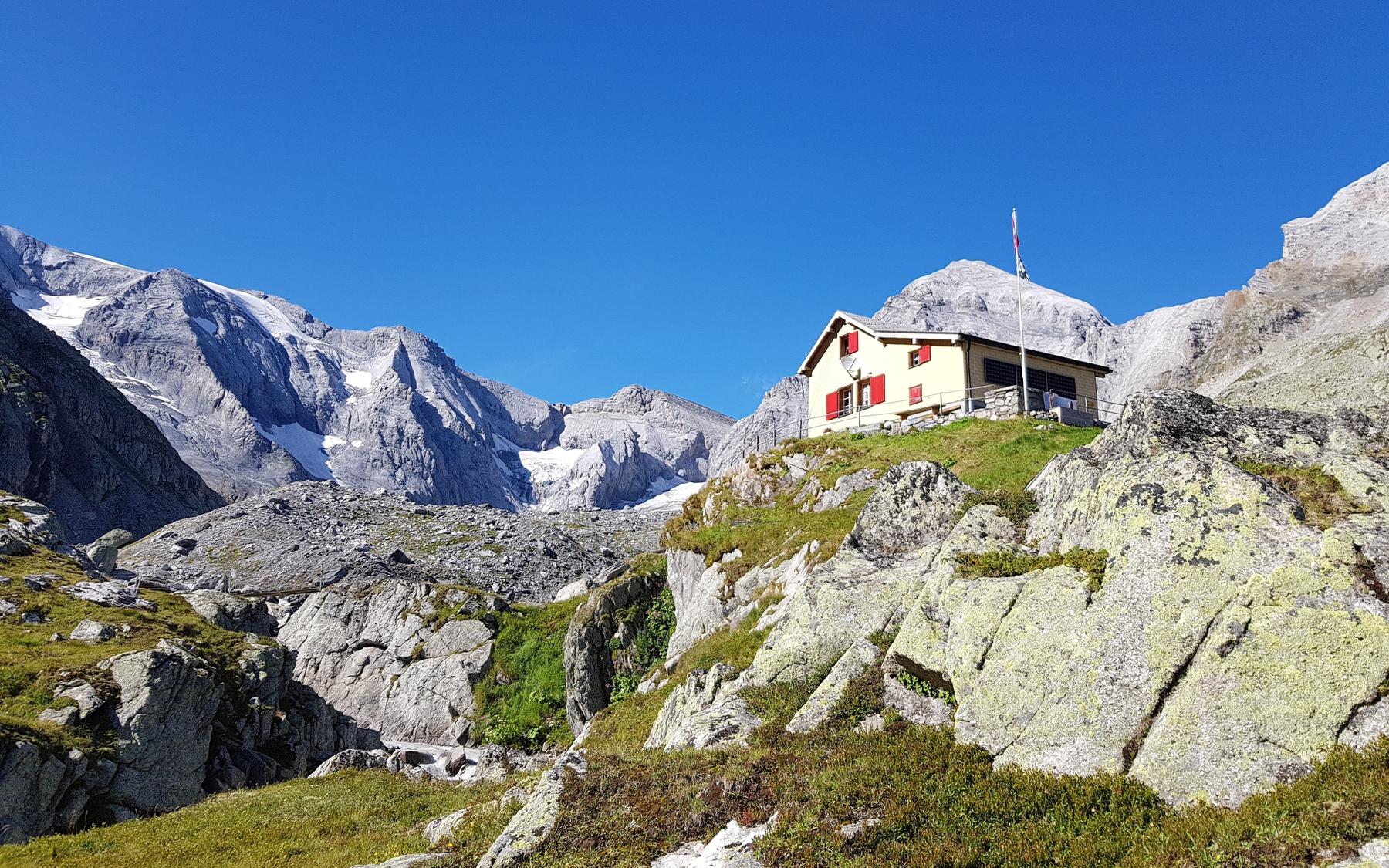
The Camona da Punteglias via ferrata (K2) is a moderately easy, well-equipped route linking a series of rocky steps below the CAS hut of the same name.

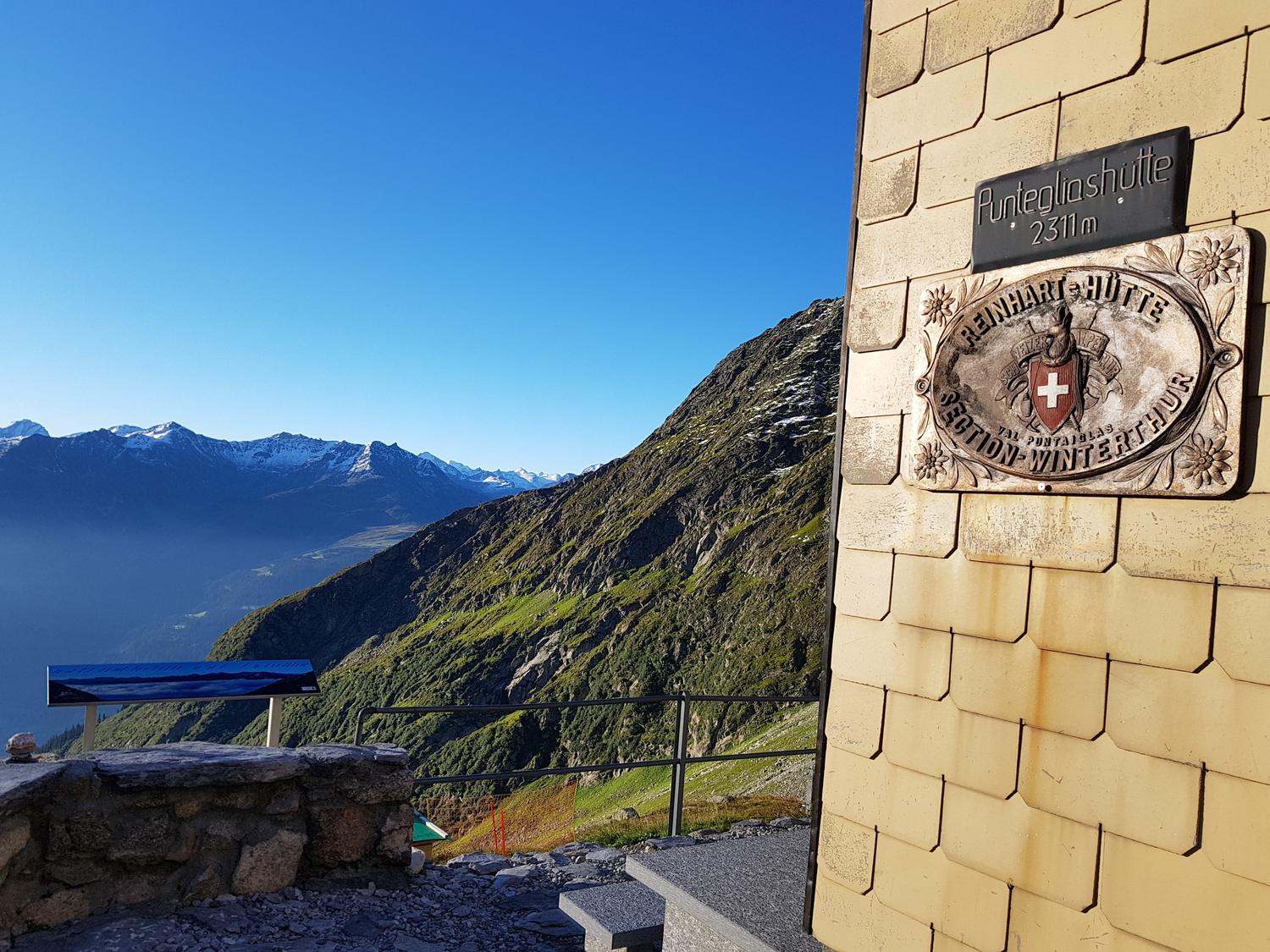
Image: Camona da Punteglias CAS

Difficulty

K2

Moderate via ferrata
Current status

Unknown

No reliable current status yet

Checked 2 h ago

Total time

1 h 30 min

Approach + via ferrata + descent

Route description The Camona da Punteglias via ferrata (K2) is a moderately easy, well-equipped route linking a series of rocky steps below the CAS hut of the same name. It can be combined with approaches from Trun or Alp da Schlans, leading through a remote, glacier-rimmed high valley. Round trip including approach and descent takes roughly 5-7 hours depending on starting point.

The Camona da Punteglias via ferrata (K2) is a moderately easy, well-equipped route linking a series of rocky steps below the CAS hut of the same name. It can be combined with approaches from Trun or Alp da Schlans, leading through a remote, glacier-rimmed high valley. Round trip including approach and descent takes roughly 5-7 hours depending on starting point.

Route map

Download GPX

Zoomable topographic map showing available approach, via ferrata, descent, start, finish, and parking geometry. The Download GPX link near the route map heading provides the same route geometry as a file.

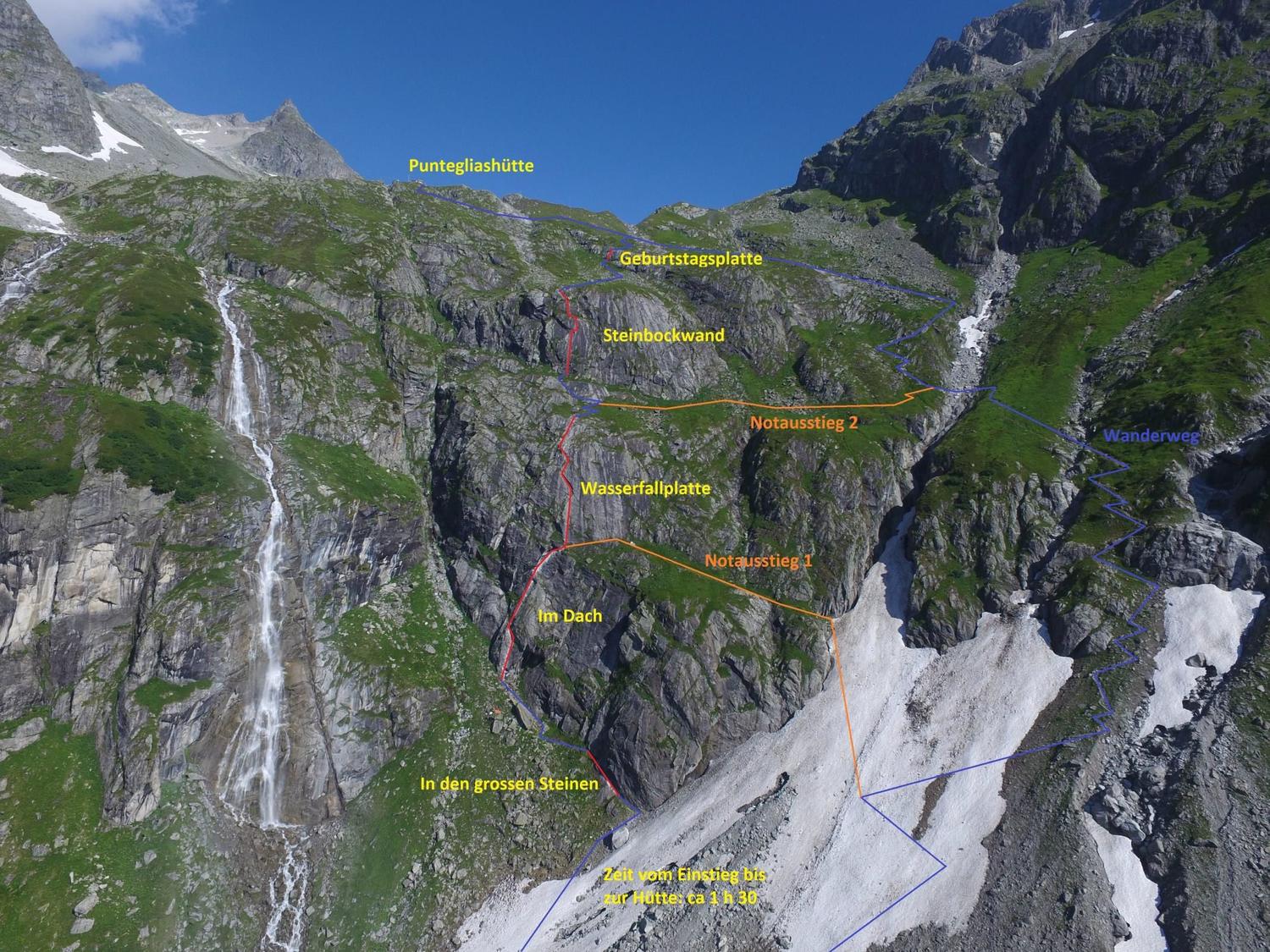
Annotated route info/map available from sac-cas.ch.
Start
46.74268, 8.99056
Finish
46.76400, 8.99948
Parking
-

Approach / VF / Descent

Segment timings and vertical stats from the current VFOS dataset.

Total: 1 h 30 min

Approach

Access
Duration
-
Distance
2.8 km
Ascent
1,400 m
Descent
-
Elevation
-

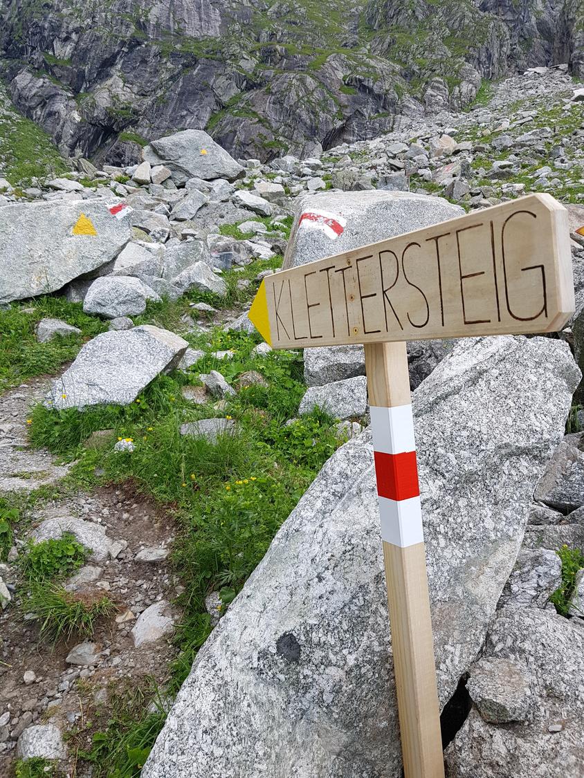
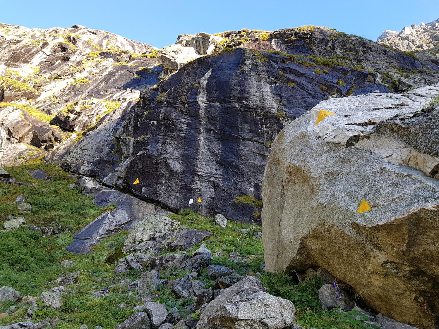
From Trun, follow the marked trail through Val Punteglias to Alp da Punteglias (1635 m), or shorten the trip by taking a taxi or the toll road to Alp da Schlans Sut and joining the same trail heading west. Continue up-valley past 1830 m, bearing right (NE) around rock barriers and climbing scree slopes; near 2200 m cut back left (W) to reach the hut area. At about 1860 m on the hut trail, branch off left at the yellow-marked signpost to begin the via ferrata.

Via ferrata

K2
Duration
1 h 30 min
Distance
628 m
Ascent
350 m
Descent
-
Elevation
2,311 m

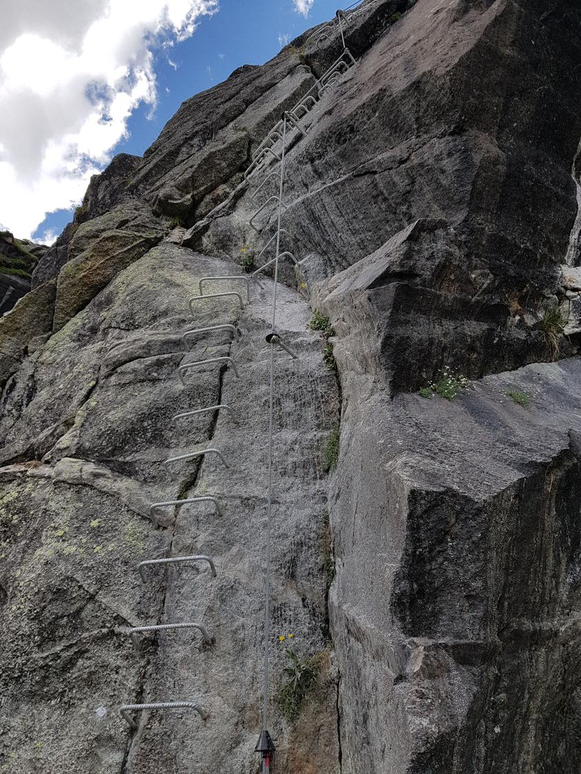
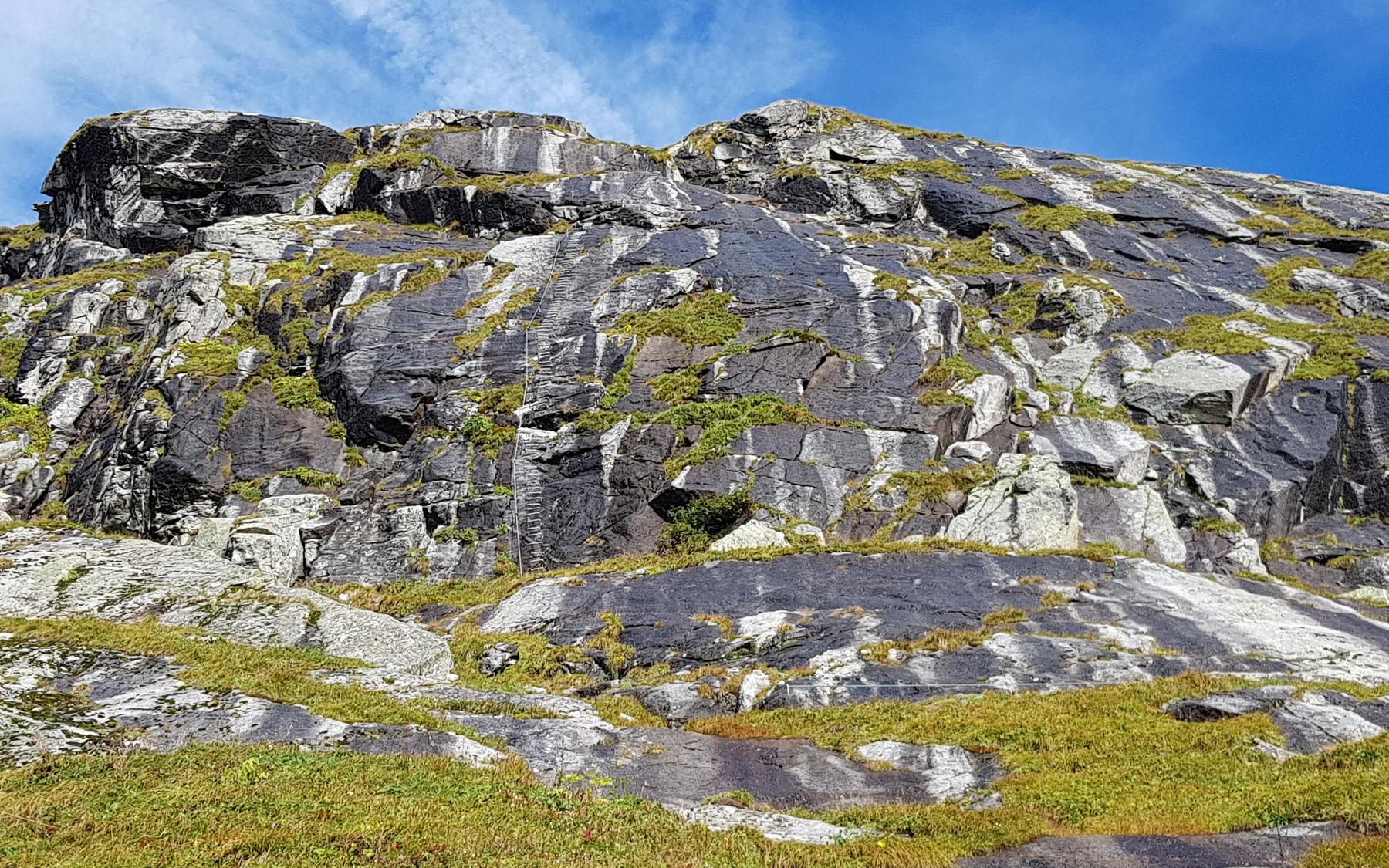
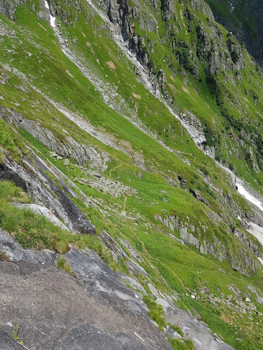
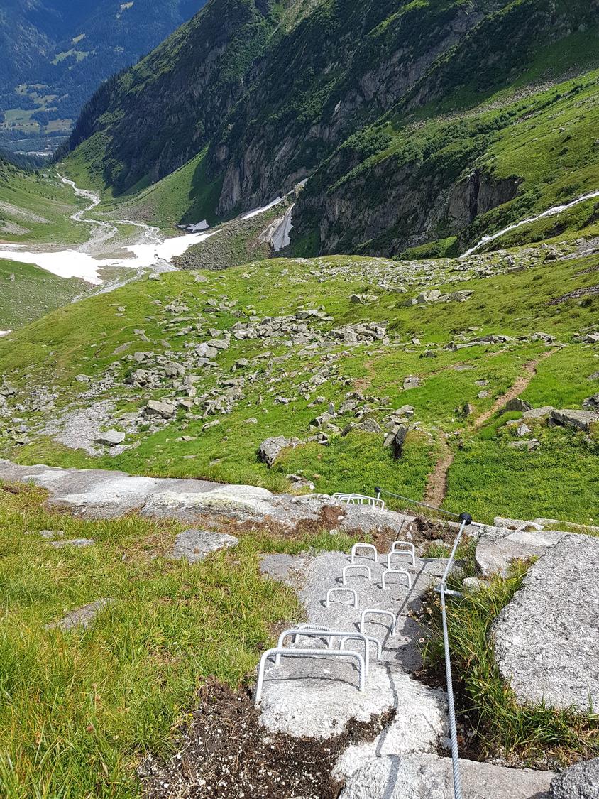
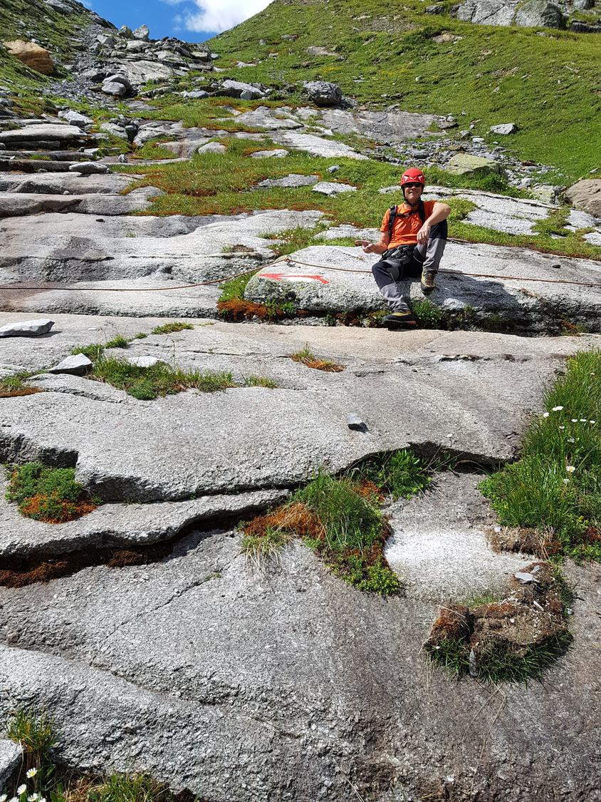
The route climbs five varied rock steps - 'In den grossen Steinen', 'Im Dach', 'Wasserfallplatte', 'Steinbockwand', and the short final 'Geburtstagsplatte' - separated by easy walking sections. Two emergency exits back to the hiking trail are available partway through, as marked on the topo.

Descent

Exit
Duration
-
Distance
2.8 km
Ascent
1,400 m
Descent
-
Elevation
-

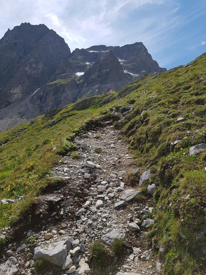
The via ferrata exits directly onto the hut trail about 10 minutes below Camona da Punteglias. From there, descend the marked path back to Alp da Schlans (about 1:30 h) or continue down to Trun (about 2 h).

Total duration
1 h 30 min
Total distance
3.4 km
Total ascent
1,750 m
Total descent
-

Escape points

No escape point details are recorded yet.

Opening season

Typical published season

Jan
Feb
Mar
Apr
May
Jun
Jul
Aug
Sep
Oct
Nov
Dec

Hut opening dates are not treated as route opening evidence.

Transport

Plan around the trailhead, parking, and public transport links.

Last lift down

Check operator

Train

Route feel

VFOS editorial ratings on a 1-5 scale.

Ratings -

Variety

How much the route changes in movement and terrain.

- -

Complexity

Route-finding and technical problem-solving beyond pure grade.

- -

Beauty

Scenery, setting, and overall aesthetic quality.

- -

Exposure

Airiness and exposure independent of technical difficulty.

- -

Sustained effort

How continuous or relentless the physical effort feels.

- -

Crux tags

No crux tags are recorded yet.

SAC-CAS route profile

Source ratings on the SAC-CAS 1-4 scale.
Official source
Mountain experience
2/4
Power
2/4
Endurance
2/4
Psyche
2/4

Photos

28 source photos
Topo Klettersteig Camona da Punteglias
Topo Klettersteig Camona da Punteglias© Camona da Punteglias CAS
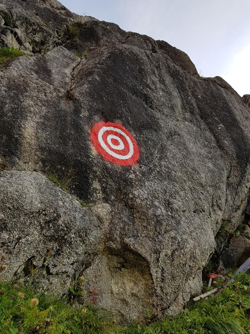
Gut markiert: Die Abzweigung zum Klettersteig.
Gut markiert: Die Abzweigung zum Klettersteig.© Brigitta Blöchlinger
Am Einstieg, gut markiert.
Am Einstieg, gut markiert.© Brigitta Blöchlinger
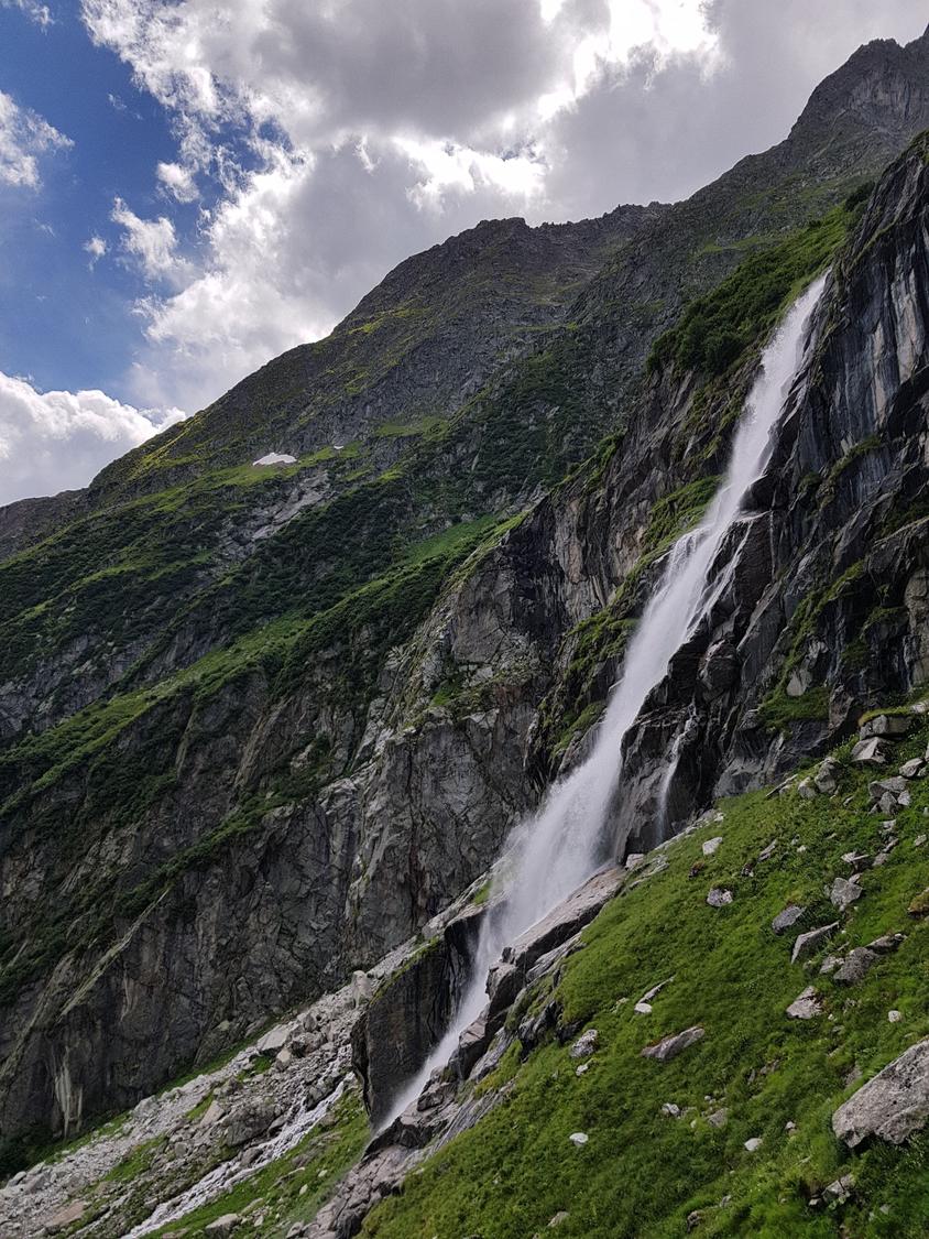
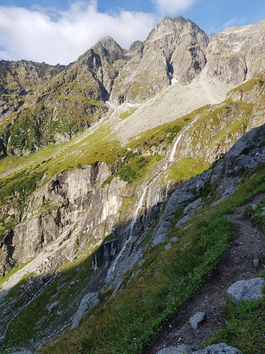
Seitenblick zum Wasserfall.
Seitenblick zum Wasserfall.© Brigitta Blöchlinger
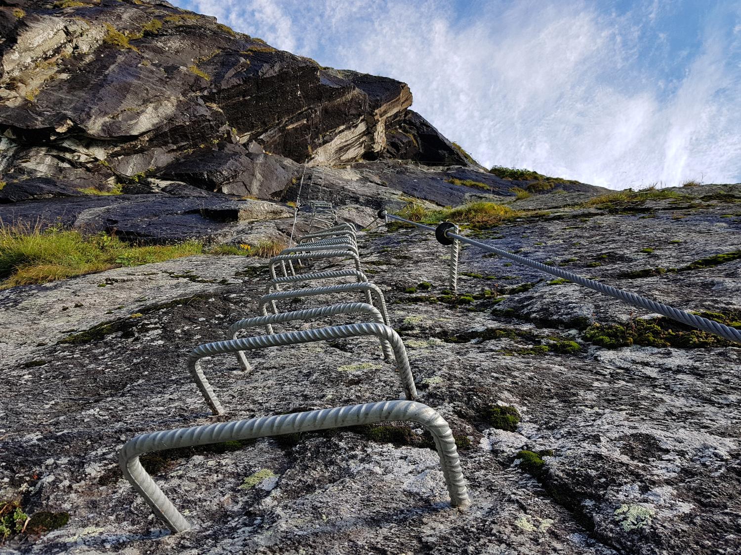
Im Klettersteig Camona da Punteglias, Passage "Dach".
Im Klettersteig Camona da Punteglias, Passage "Dach".© Brigitta Blöchlinger
Im Klettersteig Camona da Punteglias, Passage "Dach".
Im Klettersteig Camona da Punteglias, Passage "Dach".© Brigitta Blöchlinger
Die Wasserfallplatte.
Die Wasserfallplatte.© Brigitta Blöchlinger
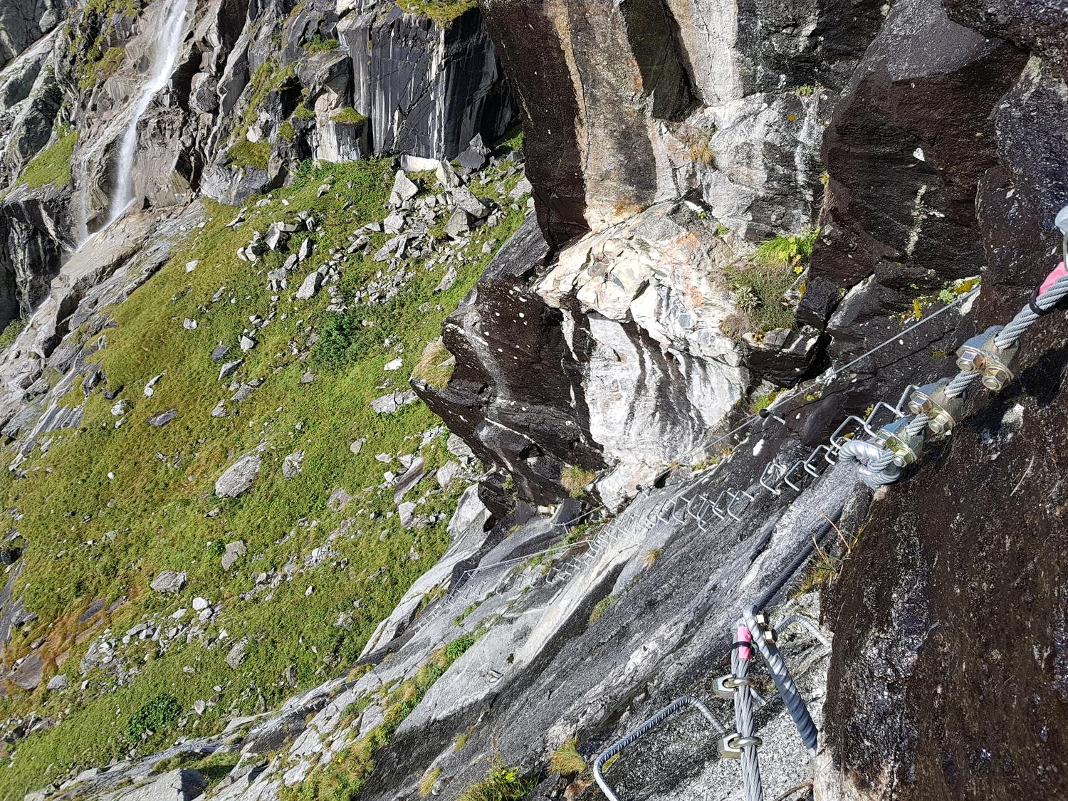
Zwischenteil im Klettersteig Punteglias.
Zwischenteil im Klettersteig Punteglias.© Brigitta Blöchlinger
Zwischenteil im Klettersteig Punteglias.
Zwischenteil im Klettersteig Punteglias.© Brigitta Blöchlinger
Der Abschnitt Steinbockwand.
Der Abschnitt Steinbockwand.© Brigitta Blöchlinger
Blick in den zweiten Notausstieg.
Blick in den zweiten Notausstieg.© Brigitta Blöchlinger
Blick zurück über die Geburtstagsplatte.
Blick zurück über die Geburtstagsplatte.© Brigitta Blöchlinger
Angekommen: am Ende des Klettersteigs zur Camona da Punteglias.
Angekommen: am Ende des Klettersteigs zur Camona da Punteglias.© Brigitta Blöchlinger
Der kurze Weiterweg zur Camona da Punteglias.
Der kurze Weiterweg zur Camona da Punteglias.© Brigitta Blöchlinger
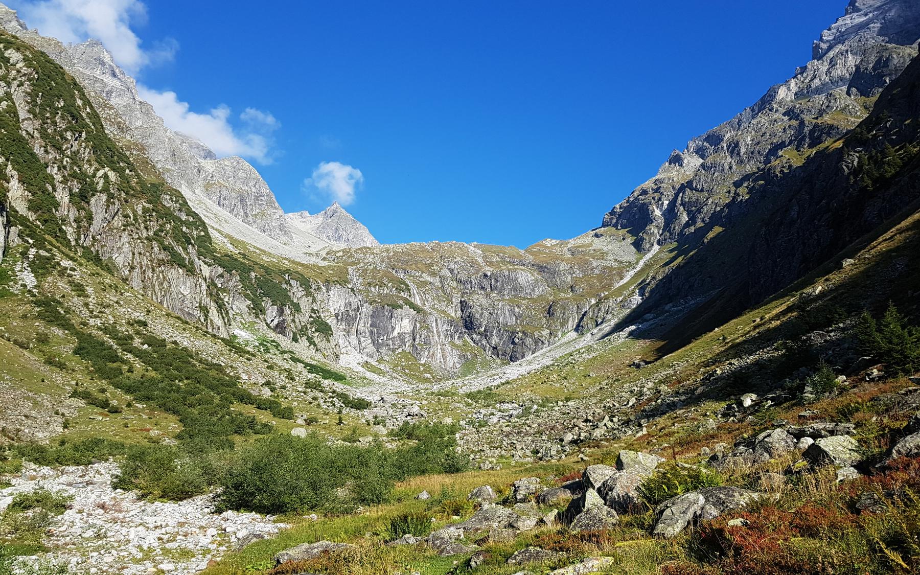
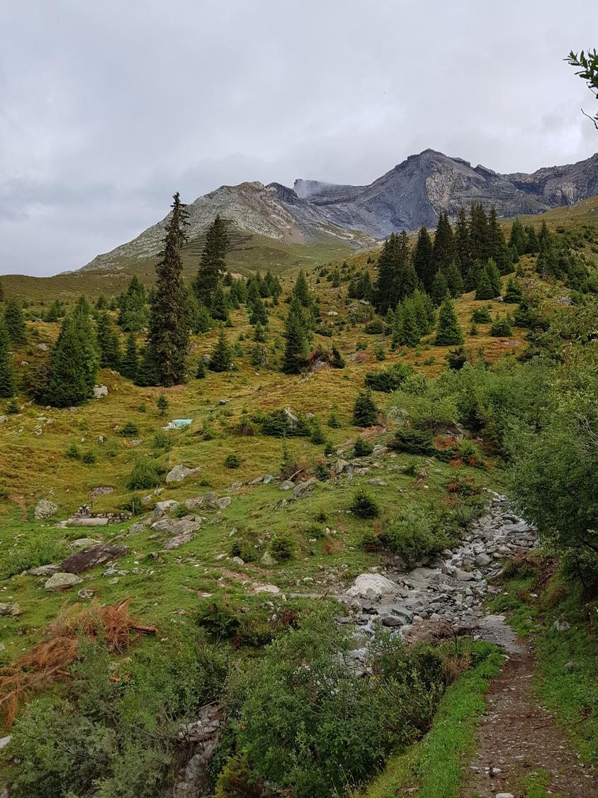
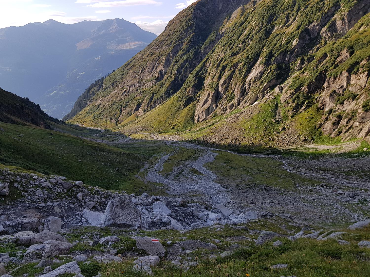
Access to Camona da Punteglias: Val Punteglias.
Access to Camona da Punteglias: Val Punteglias.© Brigitta Blöchlinger
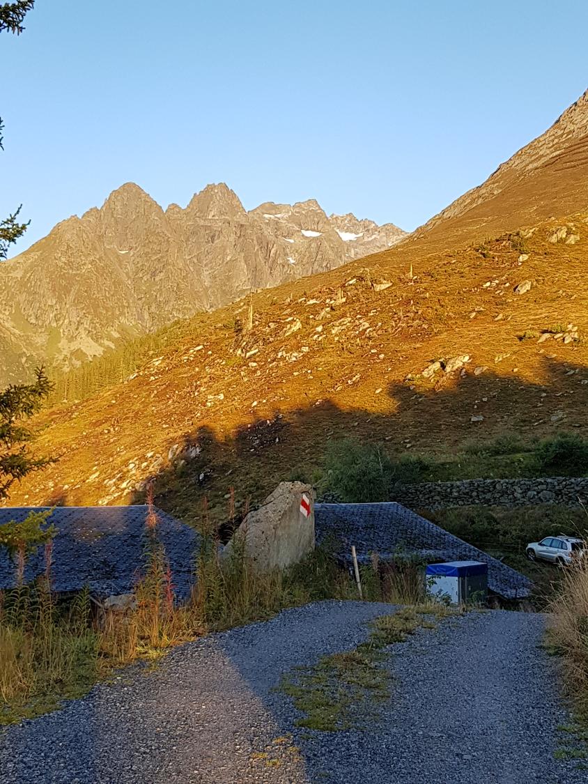
Start Alp da Schlans.
Start Alp da Schlans.© Brigitta Blöchlinger
Alp da Schlans.
Alp da Schlans.© Brigitta Blöchlinger
Alp da Schlans.
Alp da Schlans.© Brigitta Blöchlinger
Alp da Schlans.
Alp da Schlans.© Brigitta Blöchlinger
Alp da Schlans.
Alp da Schlans.© Brigitta Blöchlinger
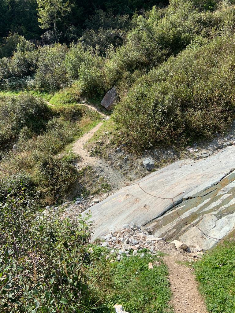
Passage well equiped.
Passage well equiped.© Brigitta Blöchlinger
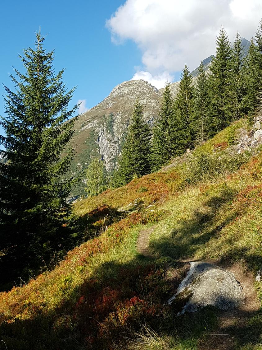
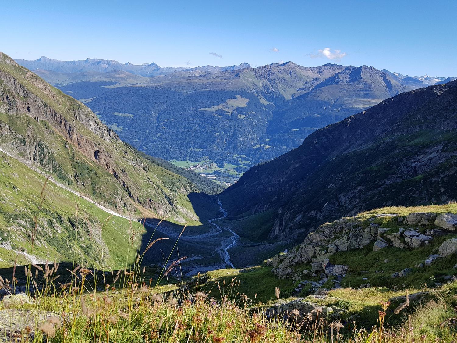
Val Punteglias.
Val Punteglias.© Fabian Lippuner
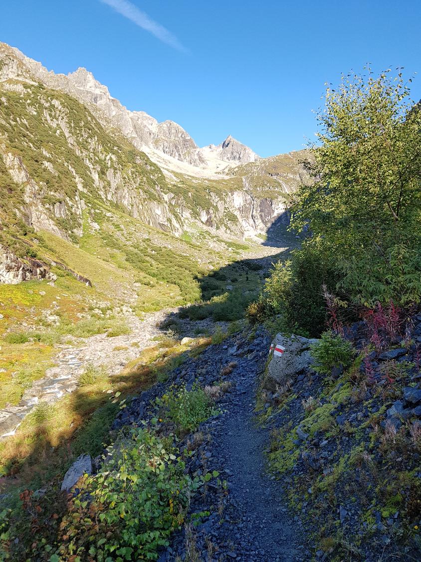
Well marked.
Well marked.© Brigitta Blöchlinger
In the steep section.
In the steep section.© Brigitta Blöchlinger
In the steep section.
In the steep section.© Brigitta Blöchlinger
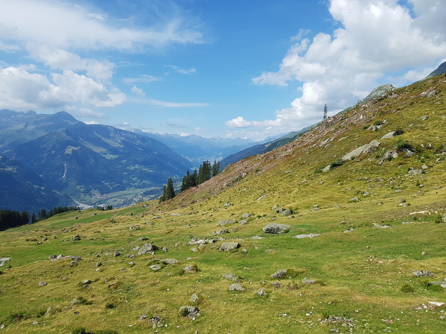
Val Punteglias.
Val Punteglias.© Brigitta Blöchlinger
Camona da Punteglias..
Camona da Punteglias..© Brigitta Blöchlinger
Camona da Punteglias
Camona da Punteglias© Brigitta Blöchlinger

Safety notes

Check current local information before setting off.

Rega 1414

Emergency

In Switzerland, call Rega on 1414 for mountain rescue. European emergency number: 112.

Mobile signal

Cell coverage can be patchy in gorges, valleys, and behind ridges. Download route notes and tell someone your plan.

Storms

Avoid thunderstorms and wet rock. Via ferrata cables can become hazardous quickly in poor weather.

Sources & data Attribution, source priority, and field-review status for this route.

Referenced sources

  • SAC-CAS approach

    https://www.sac-cas.ch/de/huetten-und-touren/sac-tourenportal/camona-da-punteglias-cas-2147000213/berg-und-alpinwandern/von-trun-oder-der-alp-da-schlans-384/

    Official

    Last scraped: 2 Aug 2026 · Official SAC-CAS Route Portal source; English API data and attribution retained.

  • SAC-CAS return

    https://www.sac-cas.ch/de/huetten-und-touren/sac-tourenportal/camona-da-punteglias-cas-2147000213/berg-und-alpinwandern/von-trun-oder-der-alp-da-schlans-384/

    Official

    Last scraped: 2 Aug 2026 · Official SAC-CAS Route Portal source; English API data and attribution retained.

  • SAC-CAS via ferrata

    https://www.sac-cas.ch/de/huetten-und-touren/sac-tourenportal/camona-da-punteglias-cas-2147000213/klettersteig/klettersteig-camona-da-punteglias-2358/

    Official

    Last scraped: 2 Aug 2026 · Official SAC-CAS Route Portal source; English API data and attribution retained.

Field review

No contested fields are currently flagged.

At a glance

Location
Trun, GR
Elevation range
2,311 m
Car-free possible
Yes

Weather

Trailhead forecast