Difficulty
K4
Very difficult via ferrata
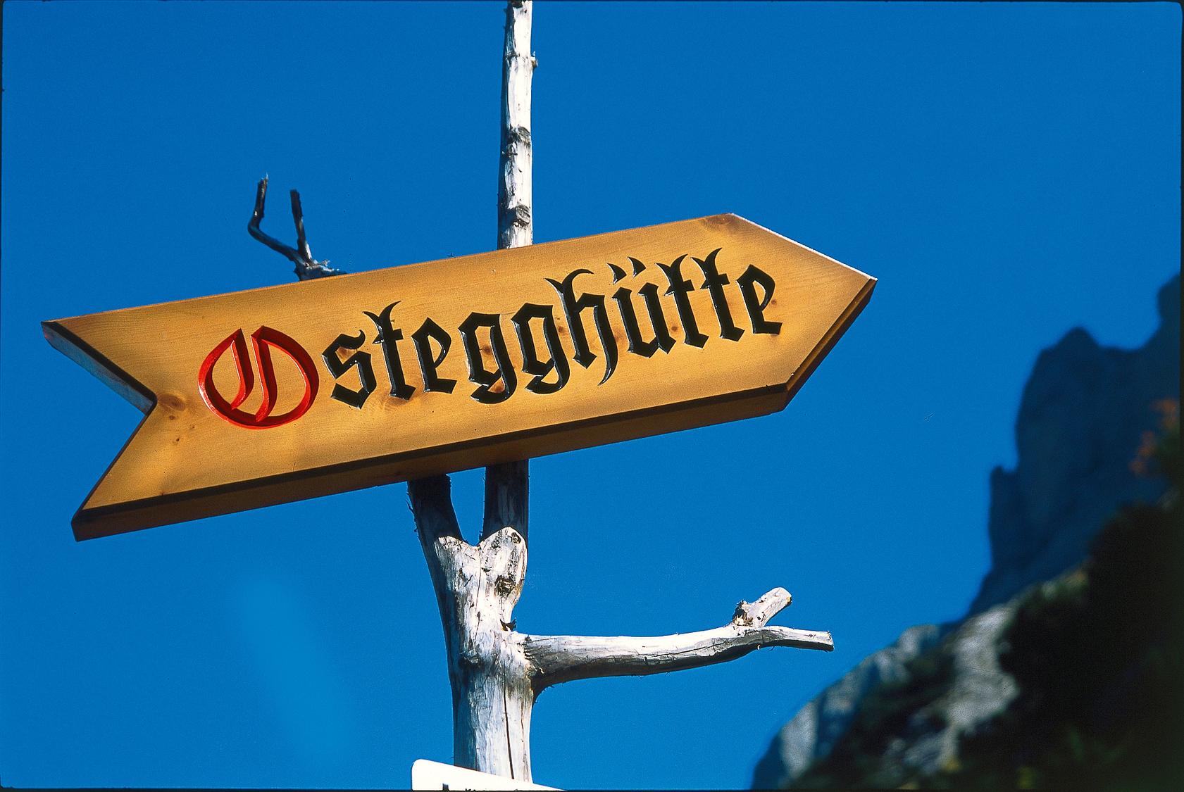
Ostegghütte, BE
Image: Daniel Anker
Difficulty
K4
Very difficult via ferrata
Current status
No confirmed live status; open-season calendar fallback
Checked 14 h ago
Total time
4 h 45 min
Approach + via ferrata + descent
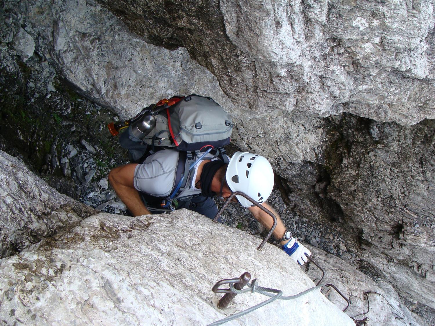
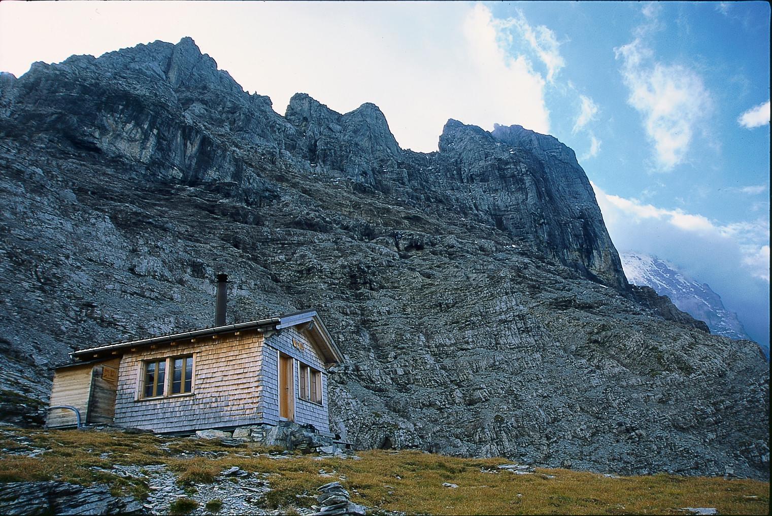
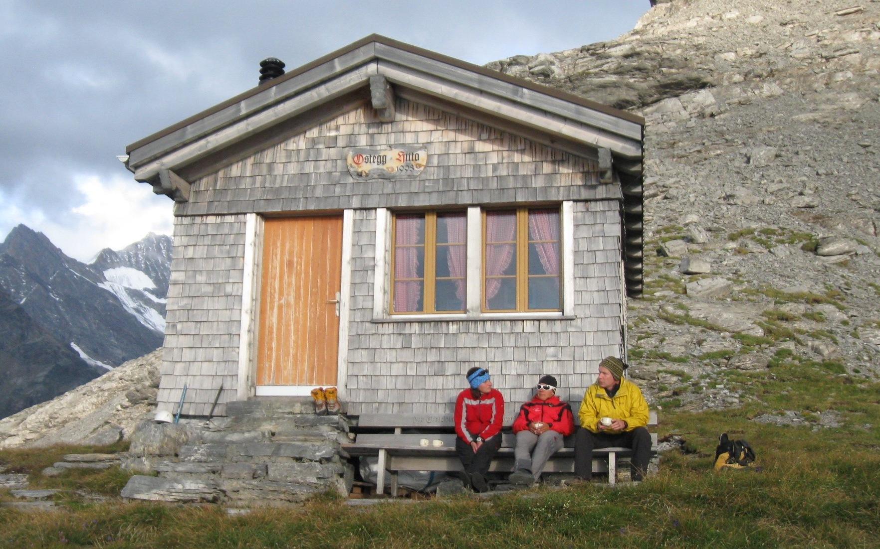
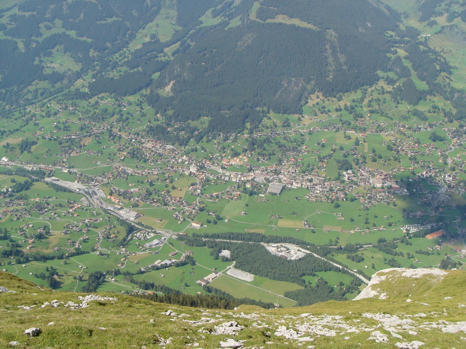
This K4 via ferrata climbs to the Eiger-Ostegghütte, one of four man-made routes that let hikers get close to the legendary Eiger. Built in 1998 by the Grindelwald mountain guides, cables and rungs were added to ease an otherwise steep and exposed approach. It remains by far the least-visited of the Eiger's engineered routes, rewarding those who choose it with a quiet grassy perch above the valley and sweeping views toward the Schreckhorn.
Zoomable topographic map showing available approach, via ferrata, descent, start, finish, and parking geometry. The Download GPX link near the route map heading provides the same route geometry as a file.
Segment timings and vertical stats from the current VFOS dataset.
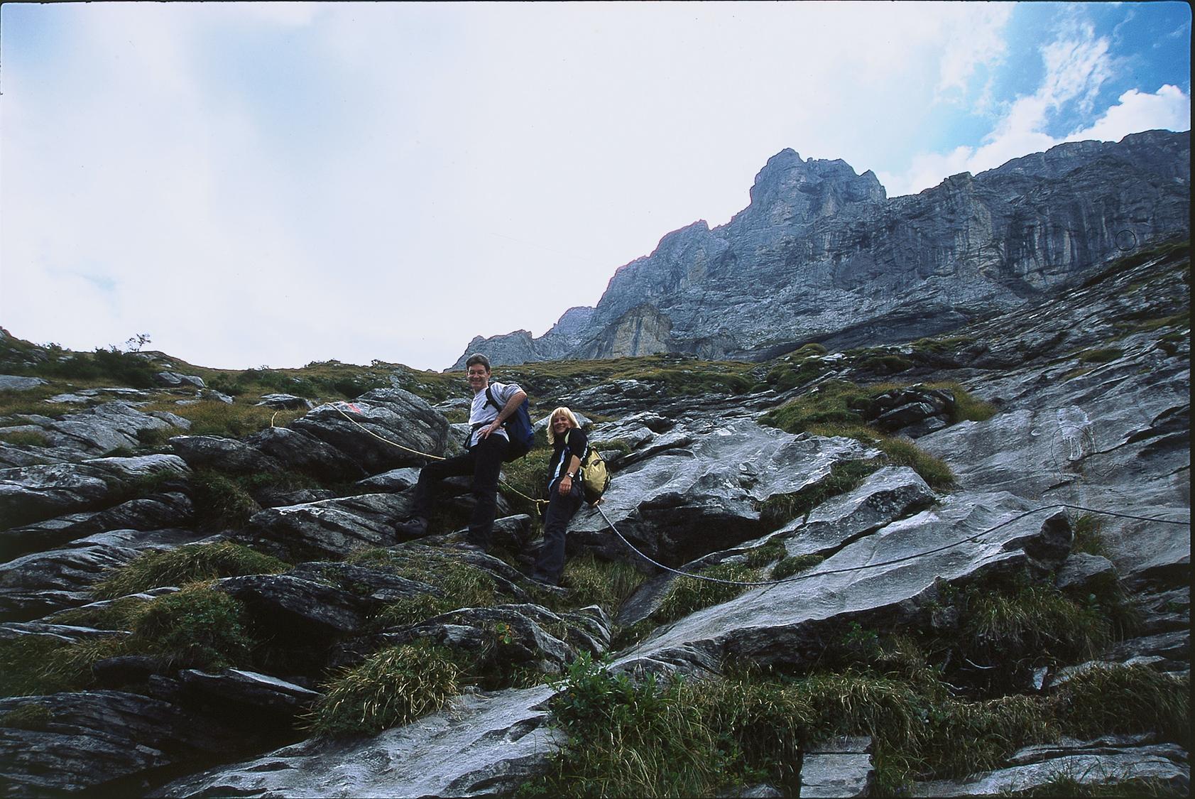
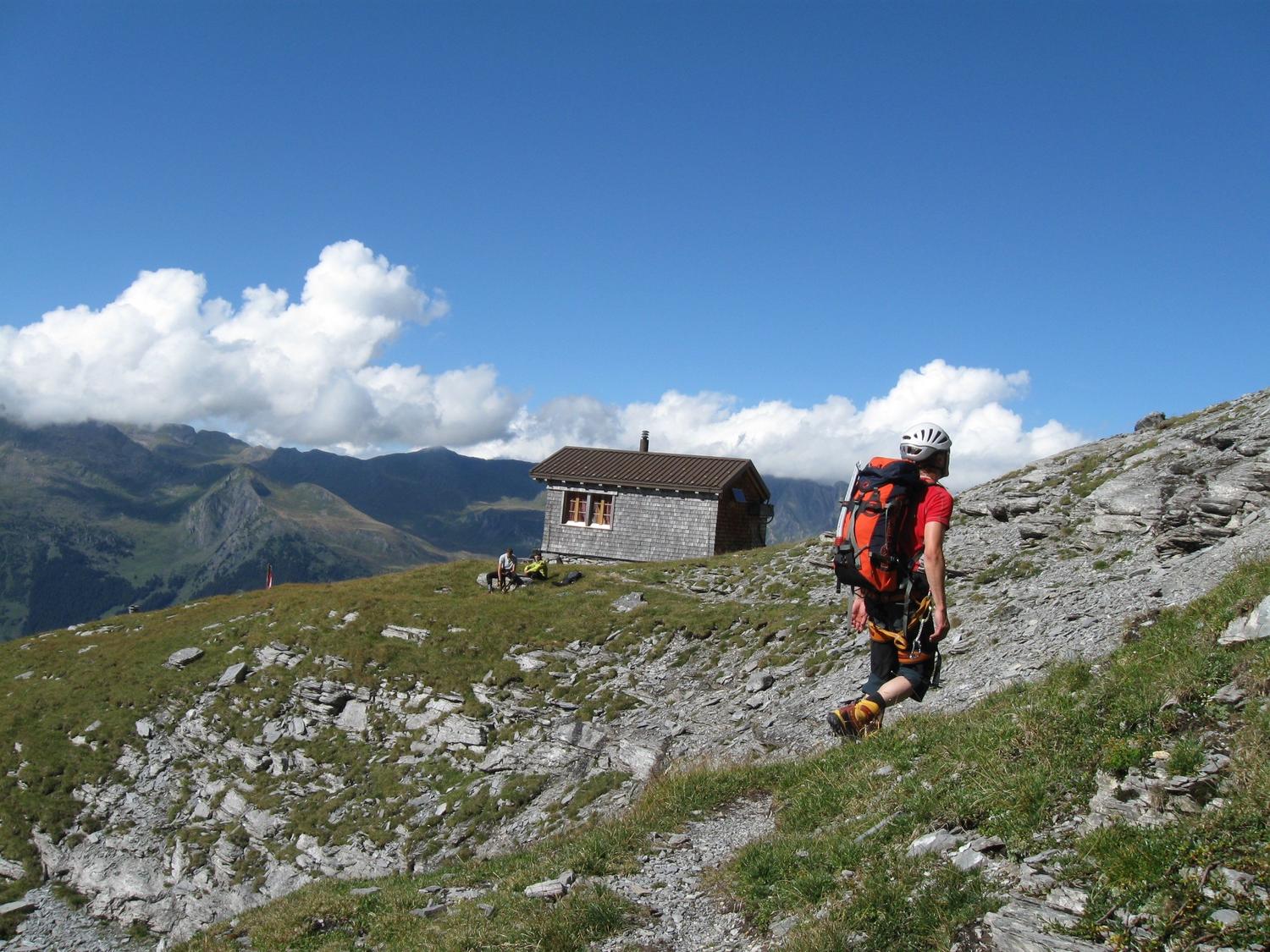
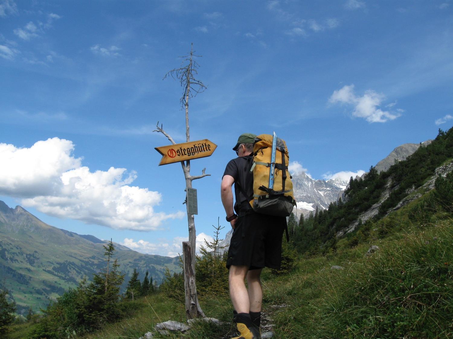
From Alpiglen station, follow the Eiger Trail to the junction near P.1758, descend to a stream crossing, then continue roughly level to the Ostegghütte turn-off at about 1750 m (around 45 minutes). From there, climb east across steep, grassy, rocky terrain—partly protected by fixed ropes but with one unsecured passage through a creek bed—up to a grassy saddle at 2028 m marked by a large cairn, then continue over scree to the via ferrata's start near 2060 m (about one hour).
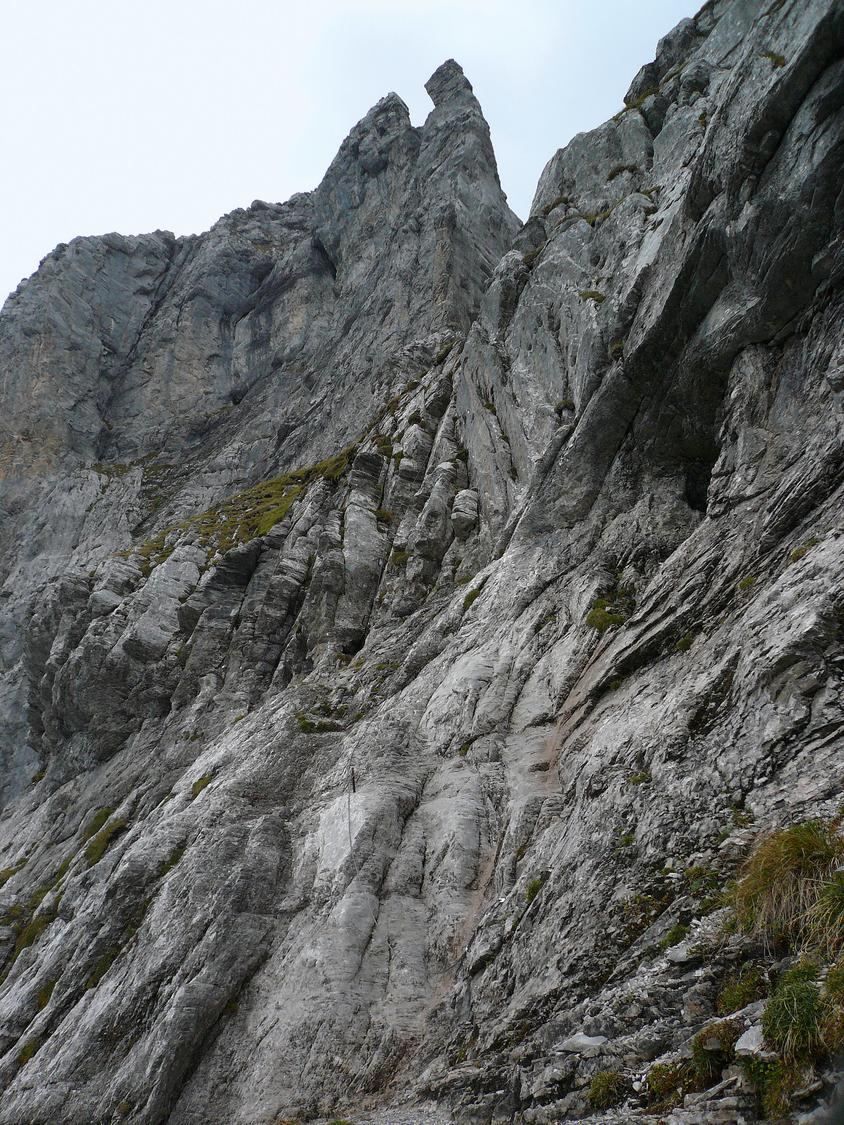
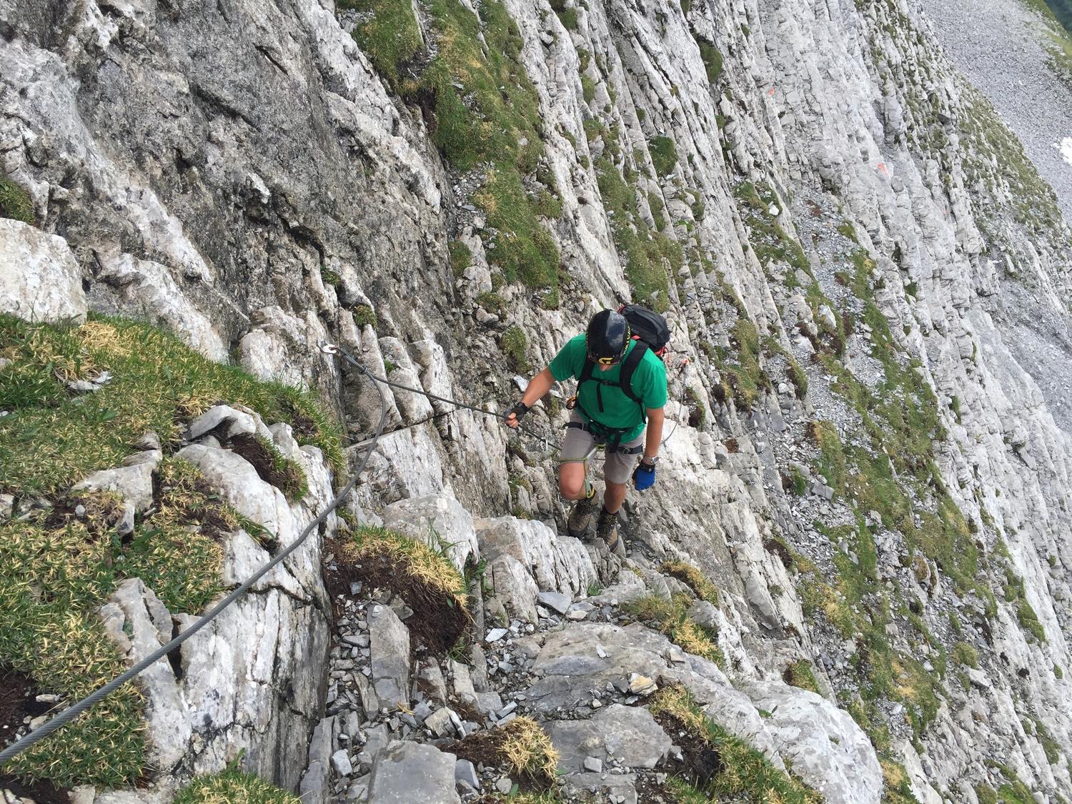
The route opens with a steep rock step that has no cable, requiring confident free climbing on easy ground. Above this, a protected gully leads upward through three steep sections, the second vertical and the third slightly overhanging along the left side of a chimney. More loose, crumbling ground follows before the terrain eases and a path bears left to the Ostegghütte, perched on a grassy terrace at 2317 m (about three hours from Alpiglen). A short side path east leads to a viewpoint on the Ostegg's north ridge overlooking the Lower Grindelwald Glacier.
Retrace the ascent route back to Alpiglen, or alternatively follow the trail via Bonera down to Hotel Gletscherschlucht (1014 m) and continue through the village to Grindelwald station, a roughly three-and-a-half-hour descent.
No escape point details are recorded yet.
Typical published season
Nearby transport operating dates are not treated as route opening evidence.
VFOS editorial ratings on a 1-5 scale.
Variety
How much the route changes in movement and terrain.
- -
Complexity
Route-finding and technical problem-solving beyond pure grade.
- -
Beauty
Scenery, setting, and overall aesthetic quality.
- -
Exposure
Airiness and exposure independent of technical difficulty.
- -
Sustained effort
How continuous or relentless the physical effort feels.
- -
No crux tags are recorded yet.
Source ratings on the SAC-CAS 1-4 scale.
Plan around the trailhead, parking, and public transport links.
Last lift down
Check operator
Check current local information before setting off.
In Switzerland, call Rega on 1414 for mountain rescue. European emergency number: 112.
Cell coverage can be patchy in gorges, valleys, and behind ridges. Download route notes and tell someone your plan.
This route is flagged as exposed or high-grade; avoid thunderstorms, wet cables, and fast-changing alpine weather.
https://www.sac-cas.ch/de/huetten-und-touren/sac-tourenportal/ostegghuette-2147000085/berg-und-alpinwandern/zustieg-klettersteig-eiger-ostegg-791/
Last scraped: 2 Aug 2026 · Official SAC-CAS Route Portal source; English API data and attribution retained.
https://www.sac-cas.ch/de/huetten-und-touren/sac-tourenportal/ostegghuette-2147000085/berg-und-alpinwandern/zustieg-klettersteig-eiger-ostegg-791/
Last scraped: 2 Aug 2026 · Official SAC-CAS Route Portal source; English API data and attribution retained.
https://www.sac-cas.ch/de/huetten-und-touren/sac-tourenportal/ostegghuette-2147000085/klettersteig/klettersteig-eiger-ostegg-672/
Last scraped: 2 Aug 2026 · Official SAC-CAS Route Portal source; English API data and attribution retained.
No contested fields are currently flagged.
Weather