Difficulty
K3
Difficult via ferrata
Mürren, BE
Image: Fabian Lippuner
Difficulty
K3
Difficult via ferrata
Current status
The latest source indicates this route is closed
Checked 14 h ago
Total time
3 h 10 min
Approach + via ferrata + descent
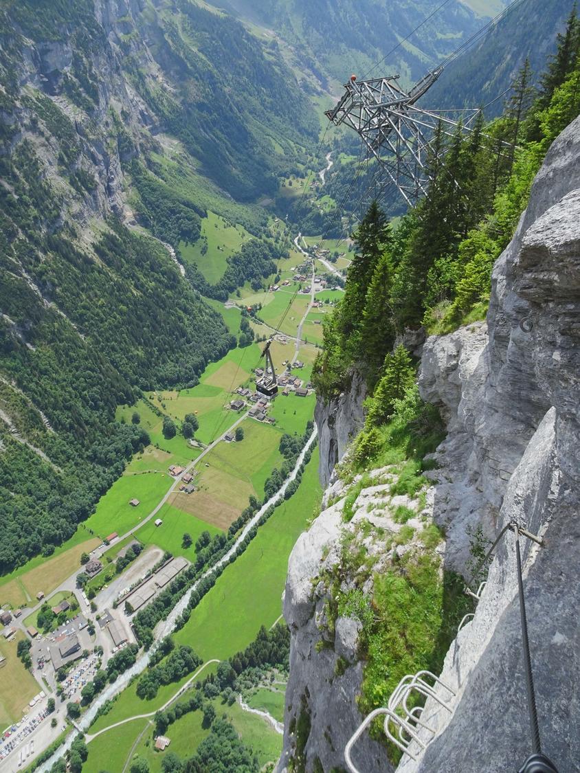
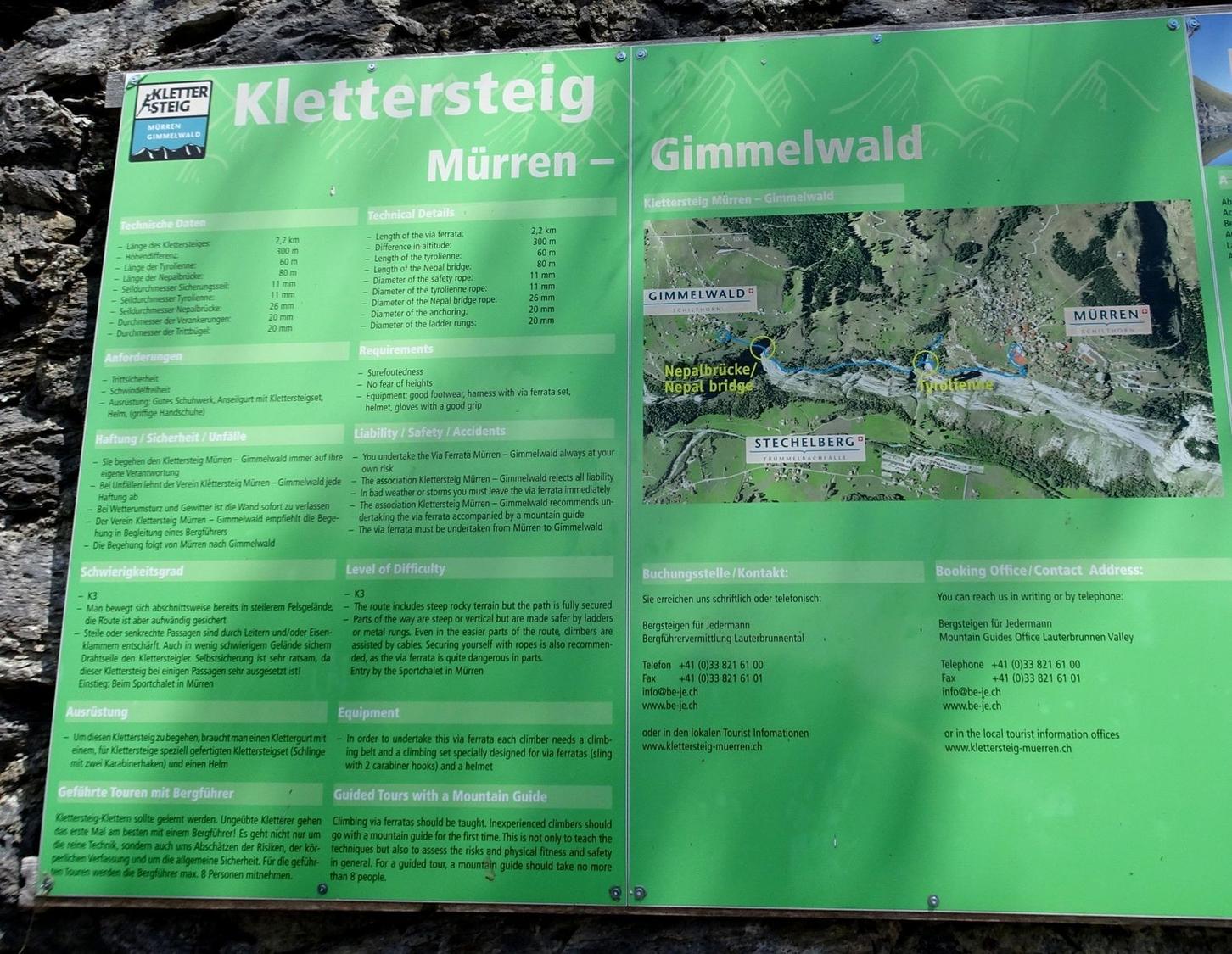
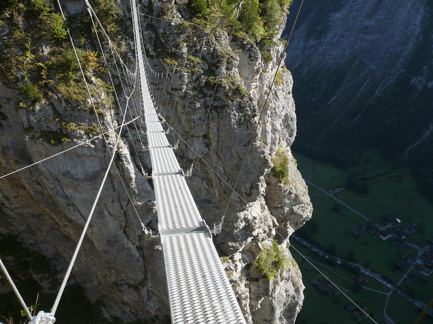
This K3 via ferrata links the car-free villages of Mürren and Gimmelwald, tracing the stepped upper edge of the Mürrenfluh high above Lauterbrunnental. Opened in 2006, the 2.2 km route is mostly descending, mixing muddy walking sections with short but serious exposed passages, ladders, and two cable bridges. It finishes with a long, unstable suspension bridge before dropping to the Gimmelwald cable car station.
Zoomable topographic map showing available approach, via ferrata, descent, start, finish, and parking geometry. The Download GPX link near the route map heading provides the same route geometry as a file.
Segment timings and vertical stats from the current VFOS dataset.
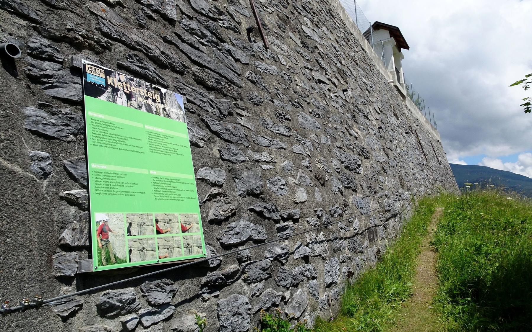
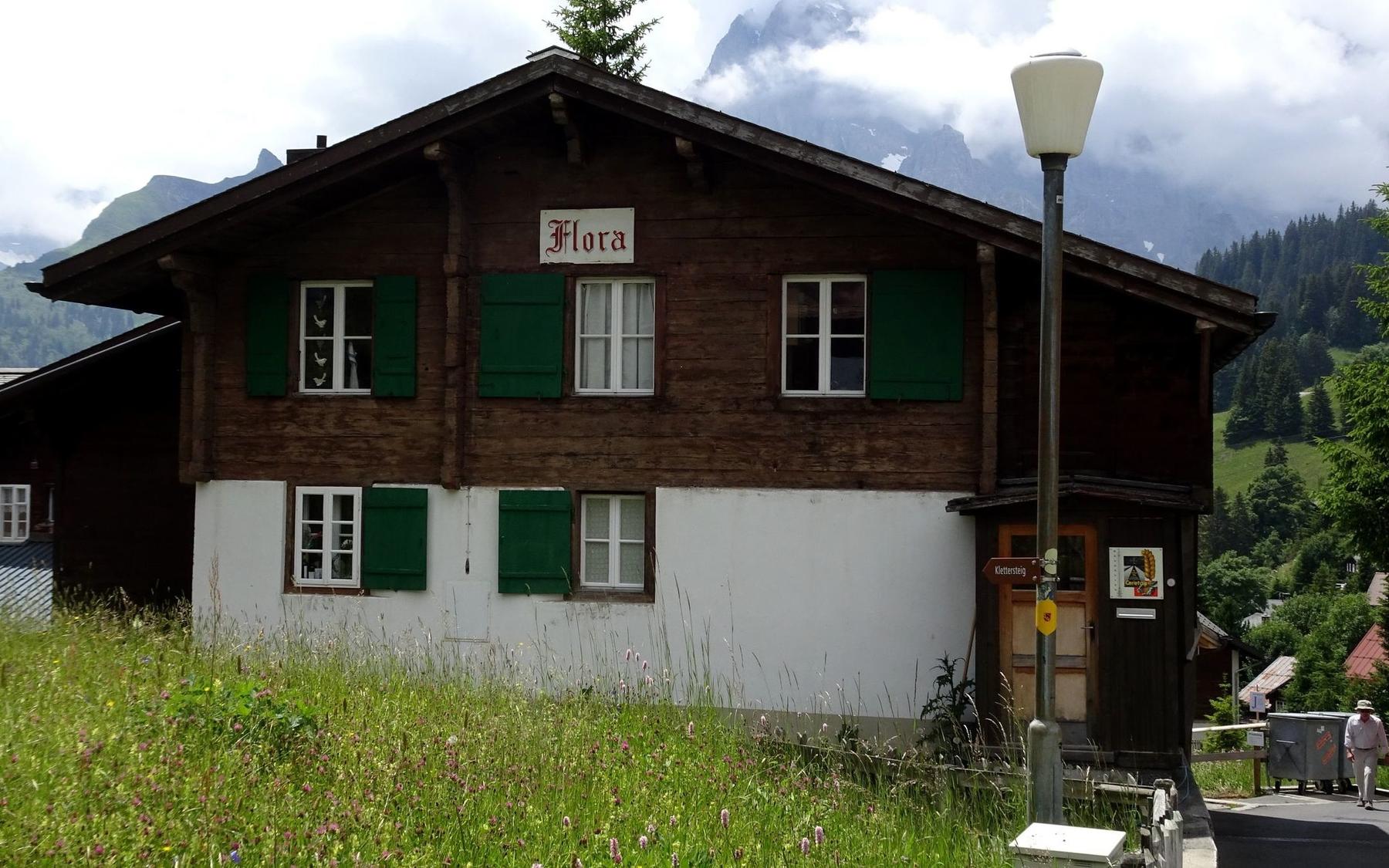
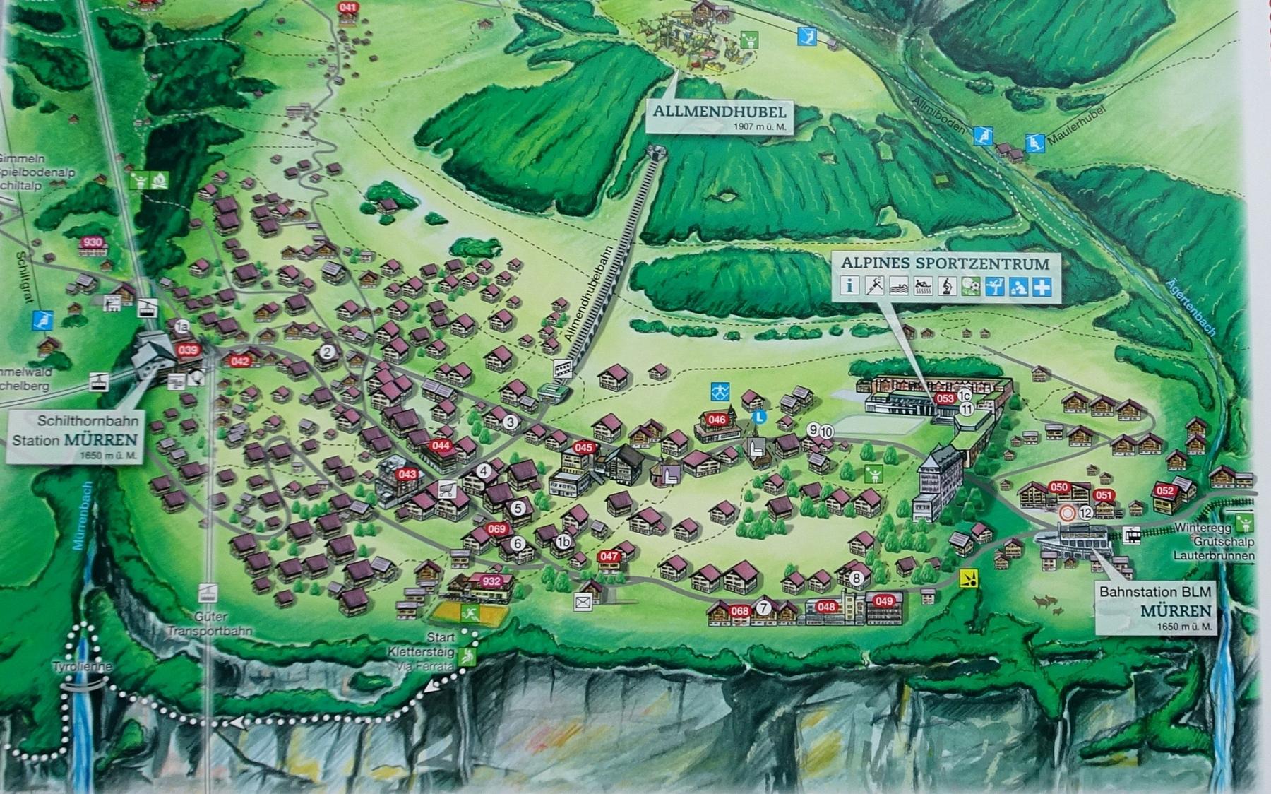
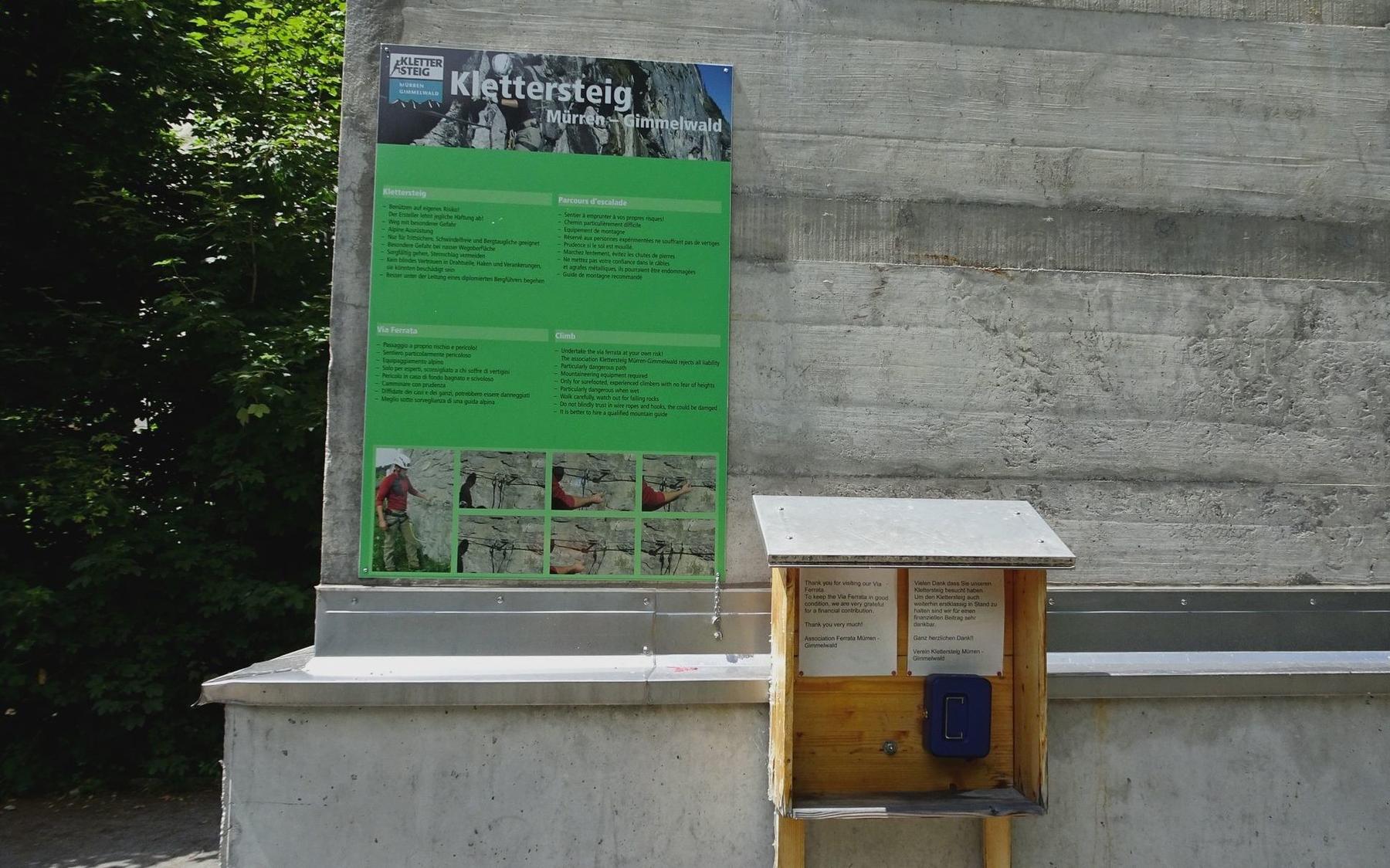
From Mürren station, follow Unteren Dorfstrasse to the Sportszentrum, then brown signs lead past Chalet Flora down toward the tennis courts. The via ferrata begins at about 1625 m, reached through a short tunnel on the south side of the tennis court retaining wall where an information board marks the start.
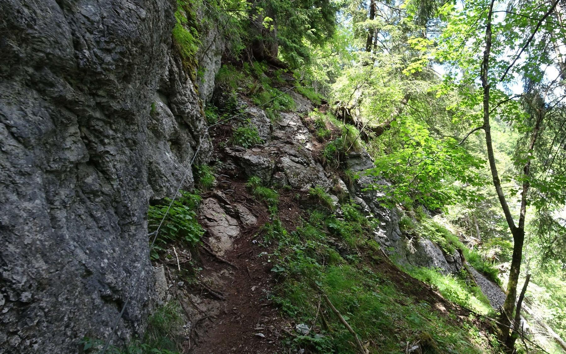
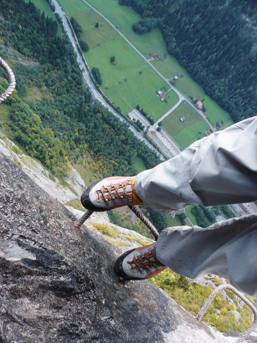
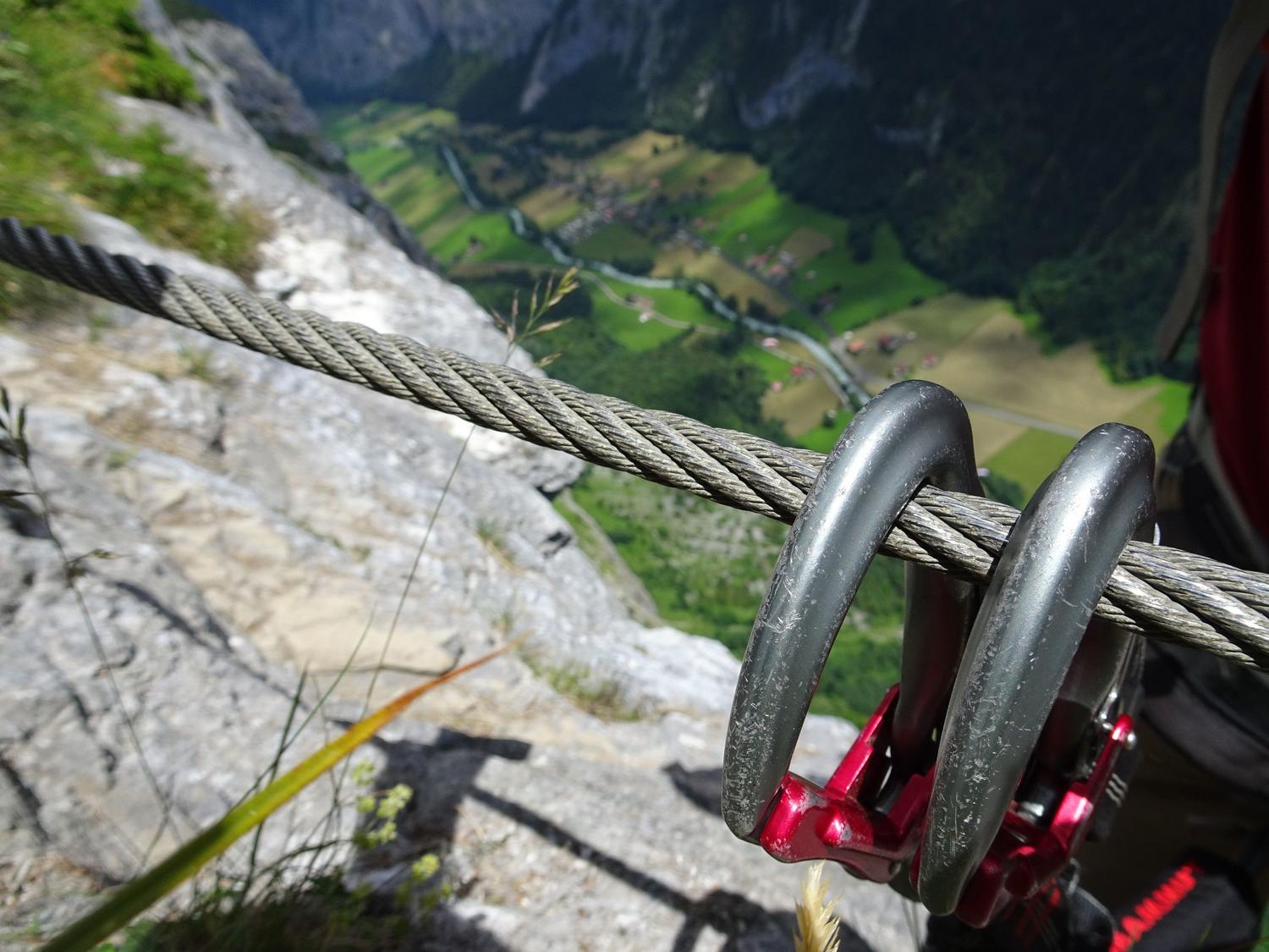
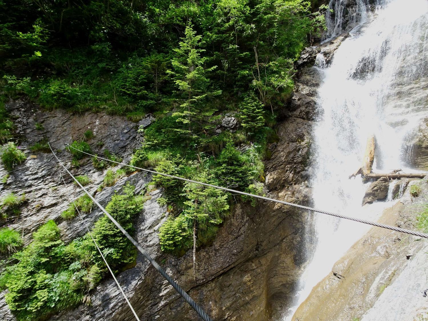
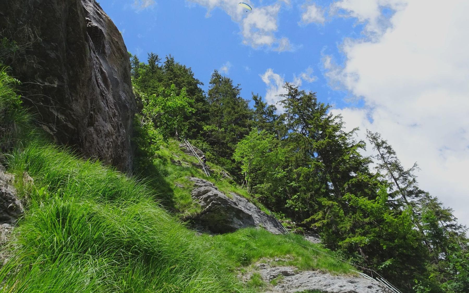
From the tunnel, the route runs along the tennis court wall before descending and traversing alternating rock and earth ledges with steadily increasing exposure. A dramatic iron-rung passage crosses the cliff face roughly 600 m above the Lauterbrunnen valley floor, followed by continued travel along the Mürrenfluh through forest and rock. A short vertical ladder and a wobbly three-cable bridge over the Mürrenbach follow, alongside a 60 m zipline restricted to guided parties (keep right at the junction if not using it). Near the Sinterbach, several more ladders—some vertical but less exposed—lead to another short cable bridge over a canyon at the route's low point near 1300 m. The final stretch crosses an 80 m suspension bridge lacking a continuous handrail, though this can be bypassed via the ordinary Mürren–Gimmelwald path. Beyond the bridge, only a brief climb remains to reach the Gimmelwald cable car station.
The entire via ferrata functions as a descent, dropping about 340 vertical meters overall. After the final suspension bridge, a short walk leads directly to the Gimmelwald cable car station, offering a comfortable way down.
No escape point details are recorded yet.
Typical published season
Weather and maintenance closures may still override the calendar.
VFOS editorial ratings on a 1-5 scale.
Variety
How much the route changes in movement and terrain.
- -
Complexity
Route-finding and technical problem-solving beyond pure grade.
- -
Beauty
Scenery, setting, and overall aesthetic quality.
- -
Exposure
Airiness and exposure independent of technical difficulty.
- -
Sustained effort
How continuous or relentless the physical effort feels.
- -
No crux tags are recorded yet.
Source ratings on the SAC-CAS 1-4 scale.
Plan around the trailhead, parking, and public transport links.
Last lift down
Check operator
Check current local information before setting off.
In Switzerland, call Rega on 1414 for mountain rescue. European emergency number: 112.
Cell coverage can be patchy in gorges, valleys, and behind ridges. Download route notes and tell someone your plan.
Avoid thunderstorms and wet rock. Via ferrata cables can become hazardous quickly in poor weather.
https://klettersteig-muerren.ch/de/
Last scraped: 2 Aug 2026 · Opening-season source retained for status provenance.
https://www.sac-cas.ch/de/huetten-und-touren/sac-tourenportal/muerrenbachfall-8215/berg-und-alpinwandern/zustieg-klettersteig-muerren-1845/
Last scraped: 2 Aug 2026 · Official SAC-CAS Route Portal source; English API data and attribution retained.
https://www.sac-cas.ch/de/huetten-und-touren/sac-tourenportal/muerrenbachfall-8215/berg-und-alpinwandern/weiterweg-klettersteig-muerren-1844/
Last scraped: 2 Aug 2026 · Official SAC-CAS Route Portal source; English API data and attribution retained.
https://www.sac-cas.ch/de/huetten-und-touren/sac-tourenportal/muerrenbachfall-8215/klettersteig/klettersteig-muerren-1846/
Last scraped: 2 Aug 2026 · Official SAC-CAS Route Portal source; English API data and attribution retained.
No contested fields are currently flagged.
Weather