Difficulty
K3-K4
Very difficult via ferrata
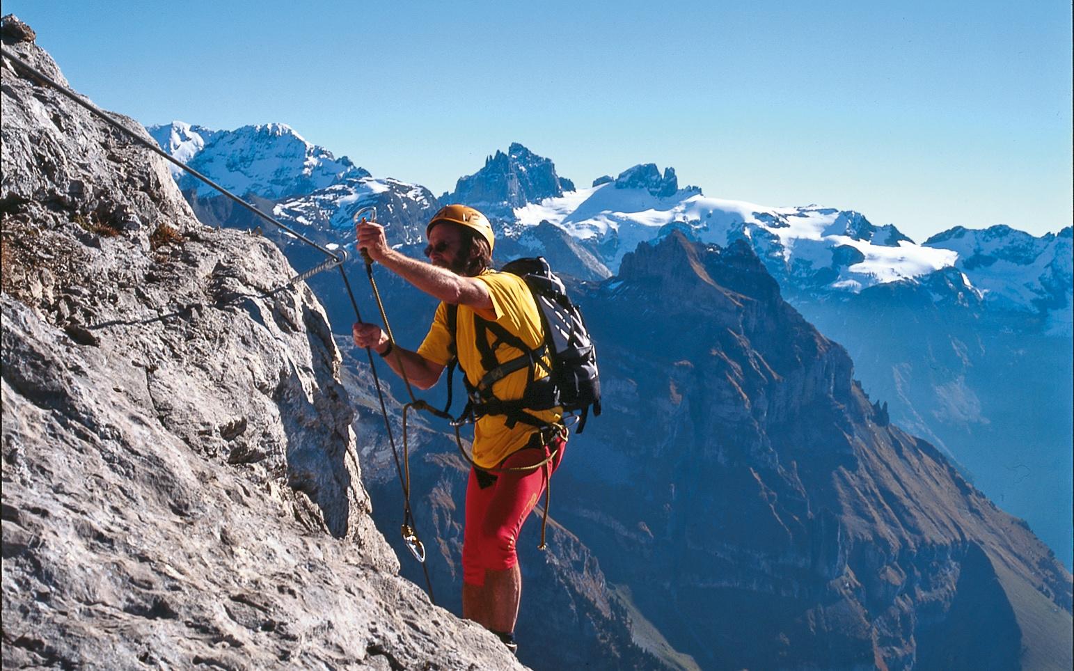
Brunnihütte, top station, OW
Image: Eugen E. und Hildegard Hüsler
Difficulty
K3-K4
Very difficult via ferrata
Current status
No reliable current status yet
Checked 14 h ago
Total time
4 h 30 min
Approach + via ferrata + descent
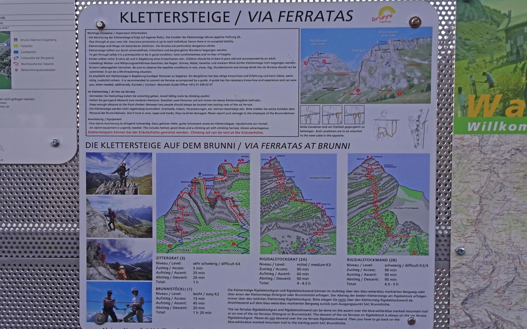
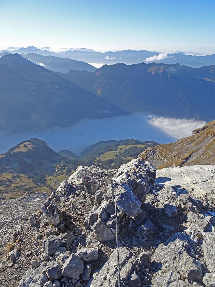
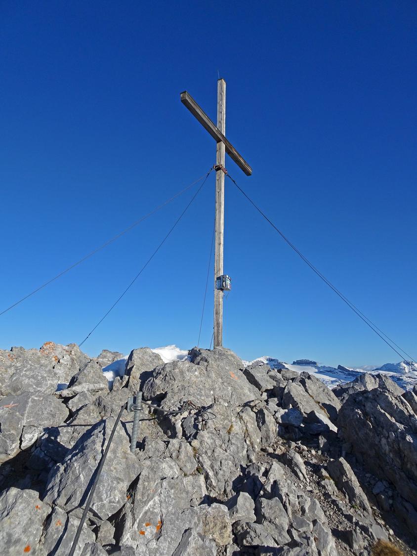
The Rigidalstock (2593 m) may be modest in height compared to its Engelberg neighbours, but its via ferrata network has made it a popular destination. Alongside the original Rigidalstockgrat route, a second, slightly harder line - the Rigidalstockwand (K3) - was added in 2014, running up the southwest face. Both ferratas are well equipped and can be combined into an enjoyable circular tour, rewarding climbers with fine summit views. Total time is about 4½ hours, split roughly 2¾ hours ascent and 1¾ hours descent.
Zoomable topographic map showing available approach, via ferrata, descent, start, finish, and parking geometry. The Download GPX link near the route map heading provides the same route geometry as a file.
Segment timings and vertical stats from the current VFOS dataset.
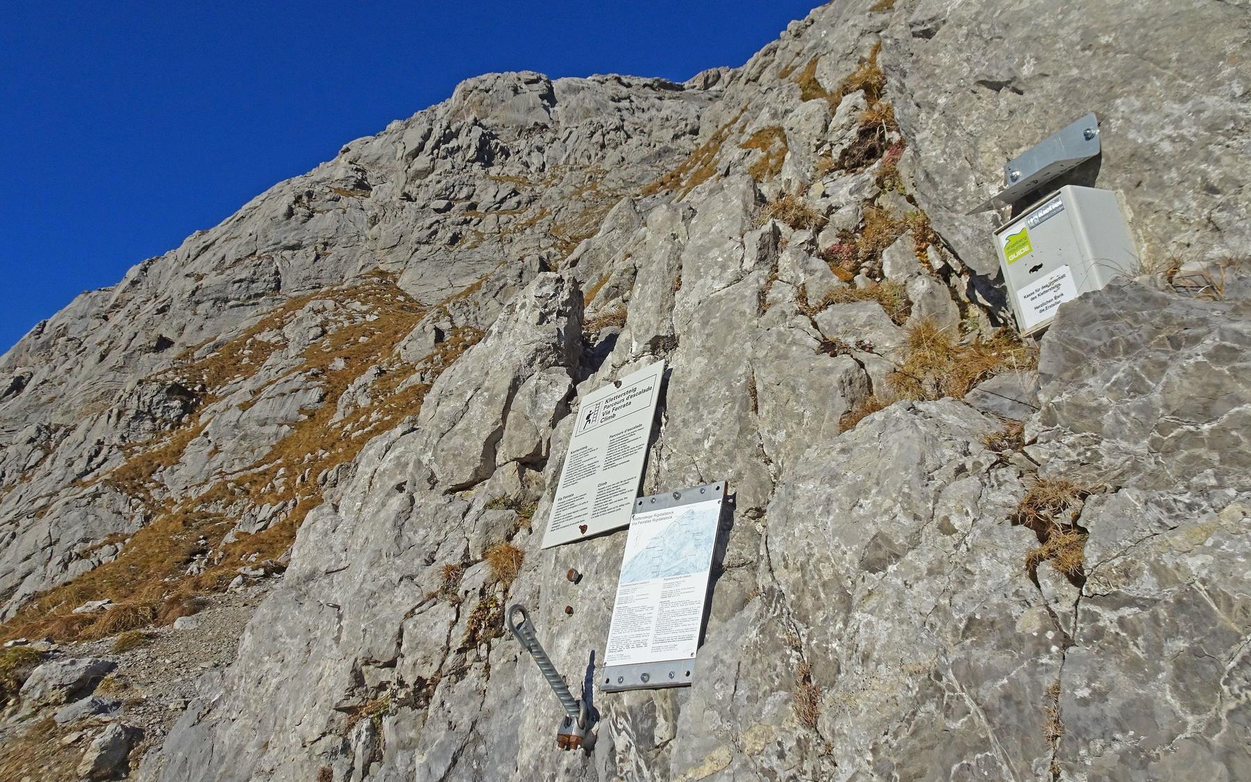
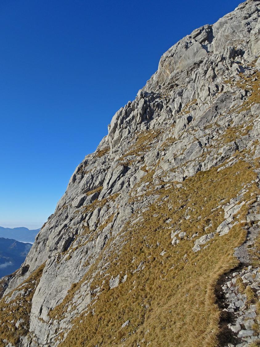
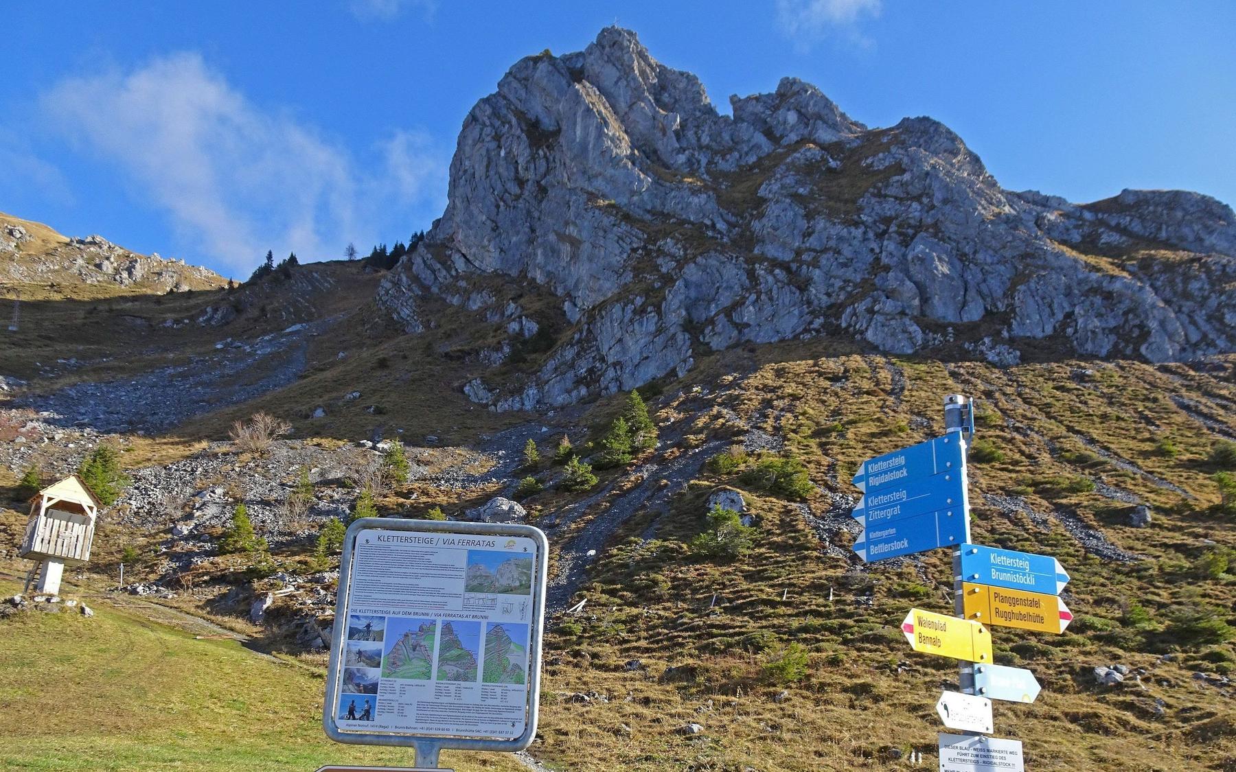
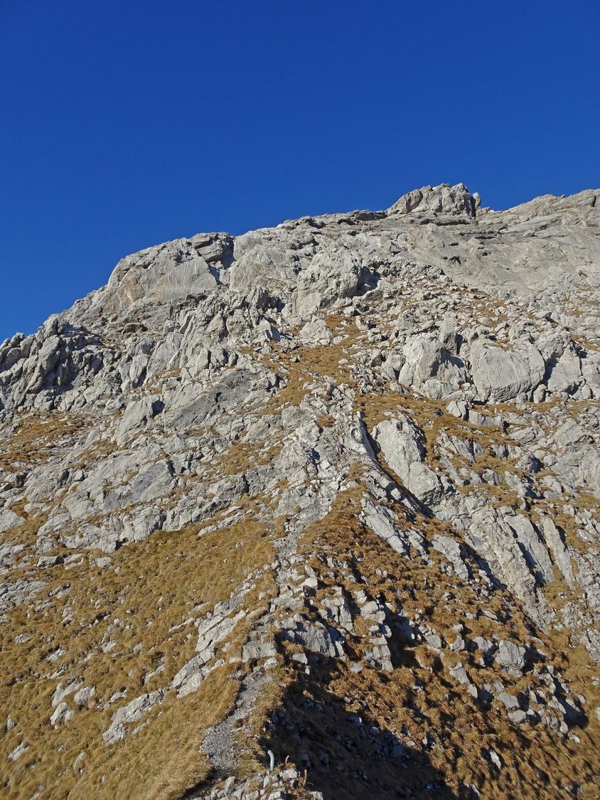
From the Brunnihütte lift station, follow the white-blue-white markers up a stony slope into the hollow beneath the Schonegg. Turn right (SE) onto the grassy ridge used as the descent from the Brunnistöckli via ferrata, and follow it over the Uf den Stucklenen hump (2188 m). Coloured markers then lead across scree and boulders to the loose slabs below Rigidalstock's south ridge (about 2360 m), where the via ferrata begins.
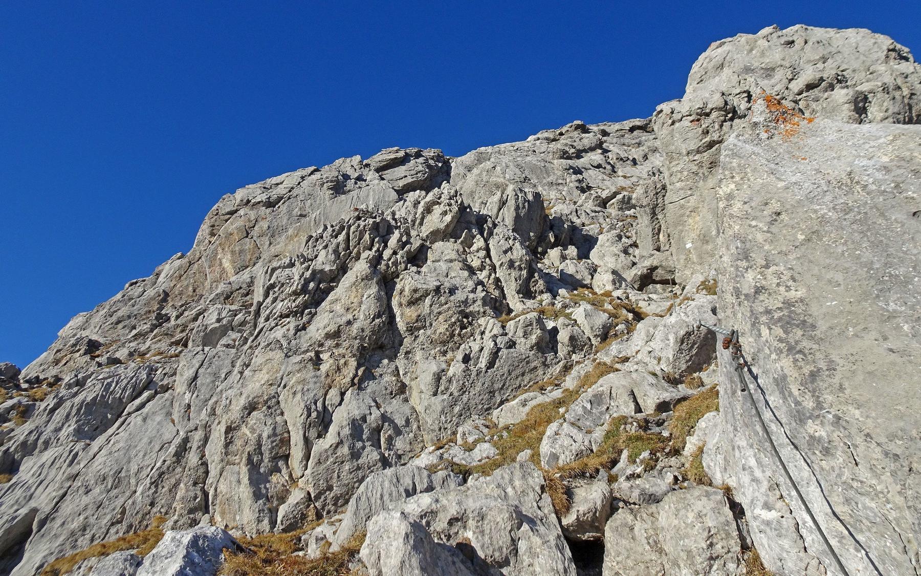
From the point where the two routes split (marked with blue signs), head left across grass and scree past a rock outcrop, then angle up to the ferrata's start near 2380 m. An initial easier section climbs a few grassy rock steps before the wall proper begins, offering good natural holds supplemented by iron pins and a continuous cable. At the "Gemssprung" ledge the route traverses briefly left before rising steeply again to a small terrace with a fixed wooden bench for a rest. The path then passes through the short "Adleraugenhöhle" (Eagle-eye Cave) around 2505 m before a final series of rock pitches leads to the "Eagle's Nest" and the summit cross of the Rigidalstock (2593 m).
Descent follows the Rigidalstockgrat via ferrata (K2), the only way down from the summit. A narrow ledge leads to its start, then a cabled groove (crux) gains the ridge, which is followed easily to the base of the summit wall. Steeper compact slabs with iron rungs lead up, followed by a diagonal traverse left across loose scree and a few zigzags to reach the main summit ridge and the Rigidalstock cross. Continue down via the approach path back to the chairlift at the Brunnihütte.
No escape point details are recorded yet.
Typical published season
Weather-dependent approximate dates.
VFOS editorial ratings on a 1-5 scale.
Variety
How much the route changes in movement and terrain.
- -
Complexity
Route-finding and technical problem-solving beyond pure grade.
- -
Beauty
Scenery, setting, and overall aesthetic quality.
- -
Exposure
Airiness and exposure independent of technical difficulty.
- -
Sustained effort
How continuous or relentless the physical effort feels.
- -
No crux tags are recorded yet.
Source ratings on the SAC-CAS 1-4 scale.
Plan around the trailhead, parking, and public transport links.
Last lift down
Check operator
Check current local information before setting off.
In Switzerland, call Rega on 1414 for mountain rescue. European emergency number: 112.
Cell coverage can be patchy in gorges, valleys, and behind ridges. Download route notes and tell someone your plan.
This route is flagged as exposed or high-grade; avoid thunderstorms, wet cables, and fast-changing alpine weather.
https://www.engelbergmountainguide.ch/en/summer/via-ferrata/opening-times/
Last scraped: 2 Aug 2026 · Opening-season source retained for status provenance.
https://www.sac-cas.ch/de/huetten-und-touren/sac-tourenportal/rigidalstock-1499/berg-und-alpinwandern/zustieg-klettersteige-rigidalstock-1040/
Last scraped: 2 Aug 2026 · Official SAC-CAS Route Portal source; English API data and attribution retained.
https://www.sac-cas.ch/de/huetten-und-touren/sac-tourenportal/rigidalstock-1499/klettersteig/klettersteig-rigidalstockgrat-741/
Last scraped: 2 Aug 2026 · Official SAC-CAS Route Portal source; English API data and attribution retained.
https://www.sac-cas.ch/de/huetten-und-touren/sac-tourenportal/rigidalstock-1499/klettersteig/klettersteig-rigidalstockwand-740/
Last scraped: 2 Aug 2026 · Official SAC-CAS Route Portal source; English API data and attribution retained.
No contested fields are currently flagged.
Weather