Difficulty
K4
Very difficult via ferrata
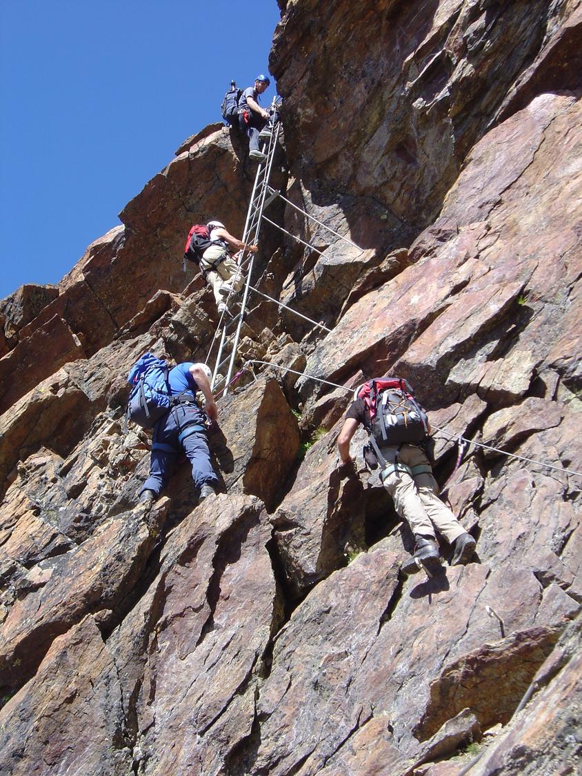
Kreuzboden, Bergstation, VS
Image: Ludwig Weh
Difficulty
K4
Very difficult via ferrata
Current status
Today falls within the published opening season
Checked 14 h ago
Total time
6 h 15 min
Approach + via ferrata + descent
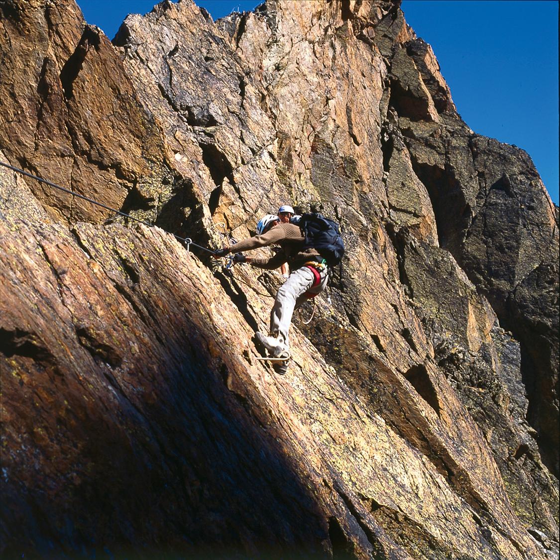
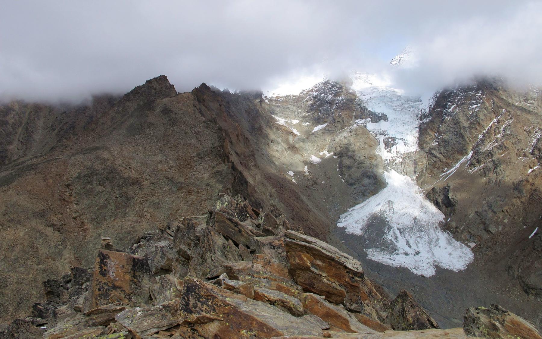
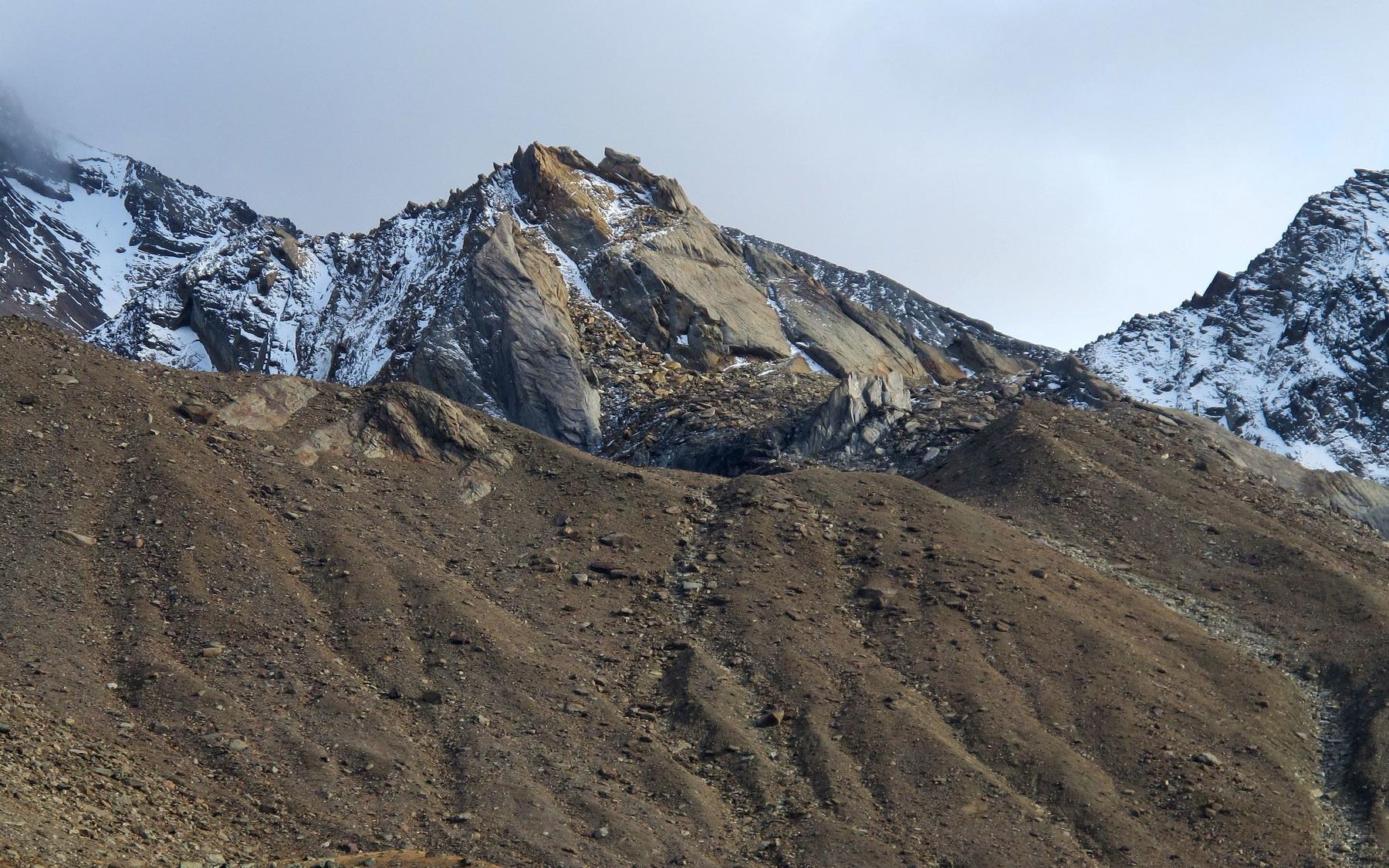
The Jegihorn via ferrata is a high-alpine K4 route above Saas-Grund, equipped with ladders, iron stakes and around a kilometre of cable. It climbs a striking three-thousand-metre summit surrounded by the glaciated giants of the Mischabel and Bernese Alps, offering some of the most dramatic panoramas of any via ferrata in Switzerland. A daring optional variant crosses a long three-cable suspension bridge between the subsidiary and main summits, raising the difficulty to K5. The route should only be attempted in stable, snow-free conditions given its exposed, high-mountain character.
Zoomable topographic map showing available approach, via ferrata, descent, start, finish, and parking geometry. The Download GPX link near the route map heading provides the same route geometry as a file.
Segment timings and vertical stats from the current VFOS dataset.
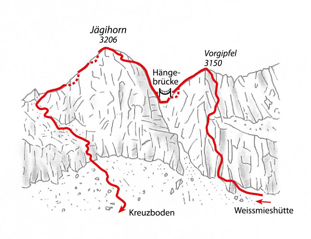
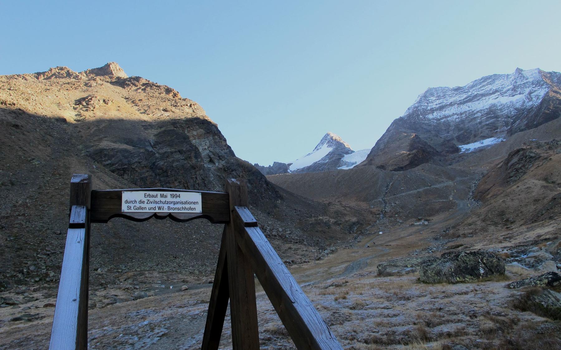
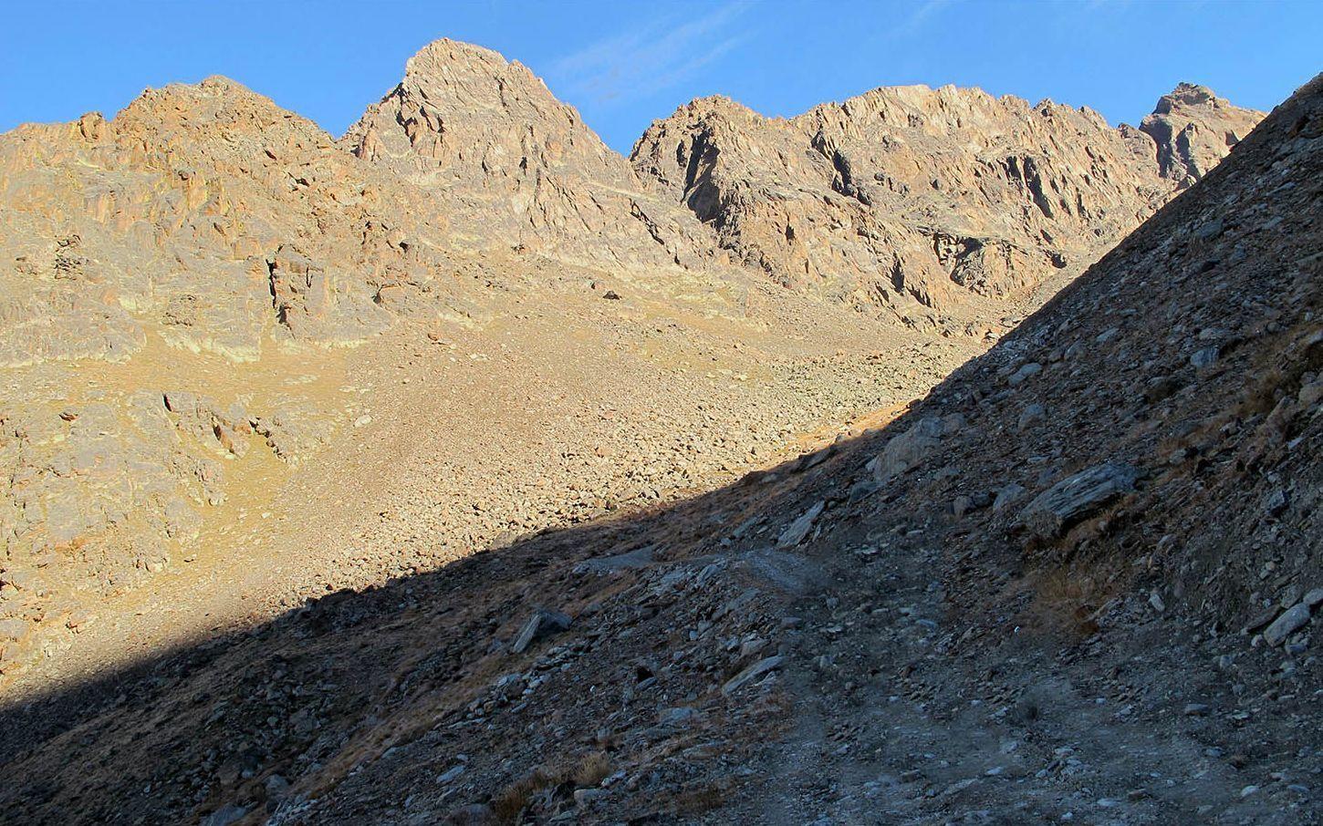
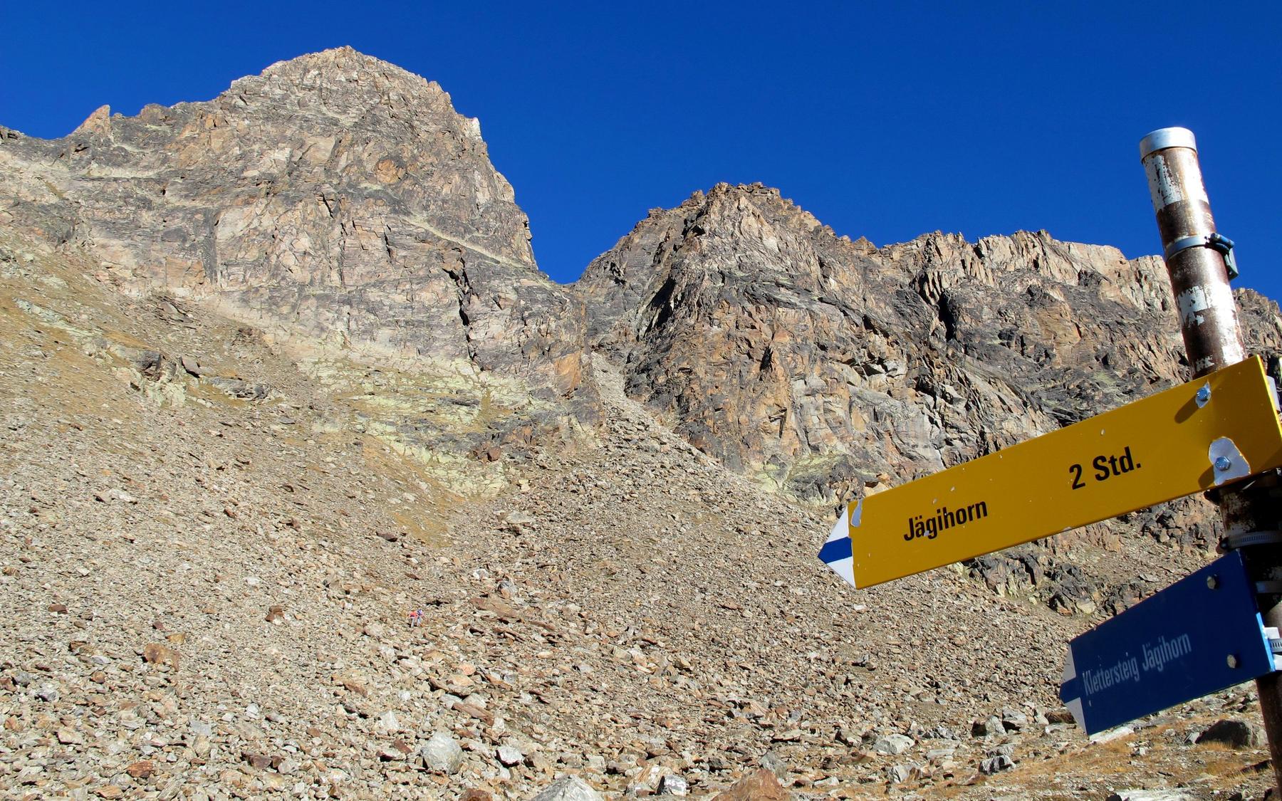
From the Kreuzboden cable car station, hike up to the scenically placed Weissmieshütte, then follow the near-level trail north through the valley between the Fletschhorn glacier's moraine and the Jegihorn. At point 2739 m the path turns north and climbs to the via ferrata's start; an alternative approach follows the true left bank of the Triftbach to the same junction.
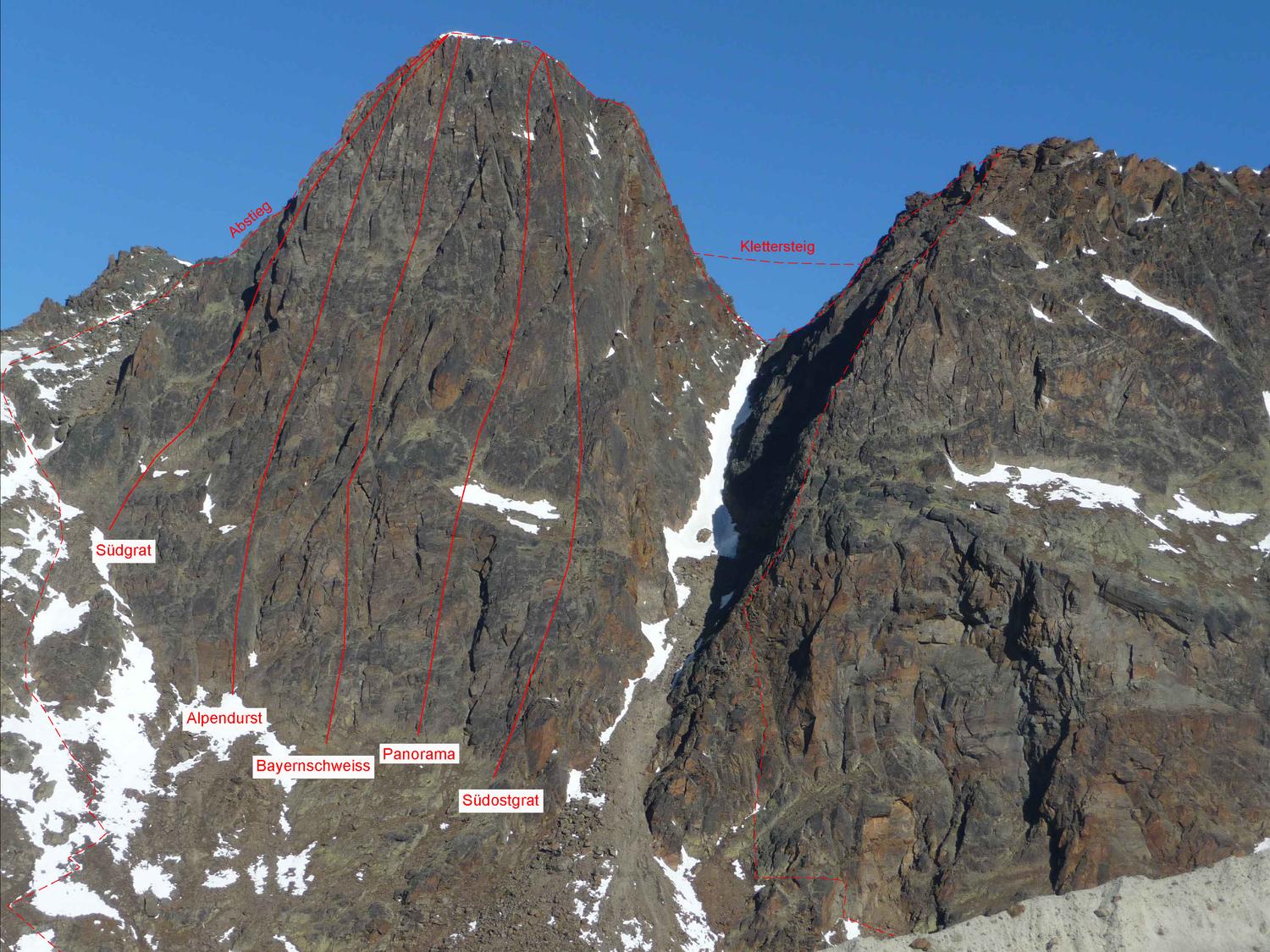
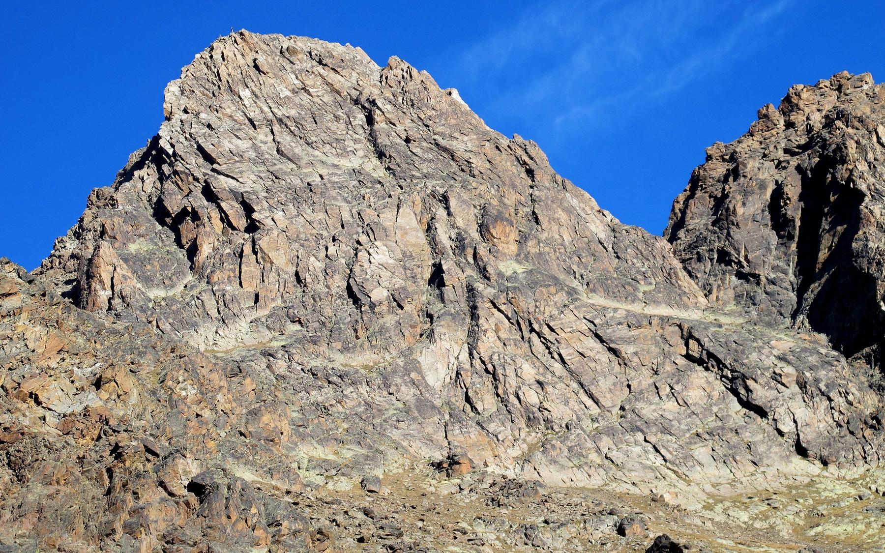
Cabled terrain leads around a rock bluff and across broken ground to a distinct groove, which steepens toward the main face. Climb this face almost vertically using cables, rungs and ladders to a shoulder, then cross another ladder to the subsidiary summit at 3150 m. Bear left along a ledge and descend briefly to the start of the exposed three-cable bridge, crossing it to a steep section aided by bolted footholds that rejoins the bypass path. This bypass traverses exposed ground past the western subsidiary summit down to a saddle at 3093 m beneath the Jegihorn, then follows just left of the ridge to the final summit tower. Climb the increasingly steep, iron-bolted rock of the tower, including one section right on the ridge edge, before easier rock leads to the broad main summit at 3206 m.
From the summit, follow the standard route down to the path junction at point 2738 m, then either turn right to follow the Triftbach stream down to Kreuzboden, or traverse across to reach the Weissmieshütte.
No escape point details are recorded yet.
Typical published season
Dates are the calendar representation of the source's approximate wording.
VFOS editorial ratings on a 1-5 scale.
Variety
How much the route changes in movement and terrain.
- -
Complexity
Route-finding and technical problem-solving beyond pure grade.
- -
Beauty
Scenery, setting, and overall aesthetic quality.
- -
Exposure
Airiness and exposure independent of technical difficulty.
- -
Sustained effort
How continuous or relentless the physical effort feels.
- -
No crux tags are recorded yet.
Source ratings on the SAC-CAS 1-4 scale.
Plan around the trailhead, parking, and public transport links.
Last lift down
Check operator
Check current local information before setting off.
In Switzerland, call Rega on 1414 for mountain rescue. European emergency number: 112.
Cell coverage can be patchy in gorges, valleys, and behind ridges. Download route notes and tell someone your plan.
This route is flagged as exposed or high-grade; avoid thunderstorms, wet cables, and fast-changing alpine weather.
https://www.saas-fee.ch/en/summer-activities/climbing-mountaineering/via-ferrata
Last scraped: 2 Aug 2026 · Opening-season source retained for status provenance.
https://www.sac-cas.ch/de/huetten-und-touren/sac-tourenportal/jegihorn-saas-grund-7799/berg-und-alpinwandern/zustieg-klettersteig-jegihorn-991/
Last scraped: 2 Aug 2026 · Official SAC-CAS Route Portal source; English API data and attribution retained.
https://www.sac-cas.ch/de/huetten-und-touren/sac-tourenportal/jegihorn-saas-grund-7799/berg-und-alpinwandern/von-der-weissmieshuette-sac-s-flanke-normalroute-1046/
Last scraped: 2 Aug 2026 · Official SAC-CAS Route Portal source; English API data and attribution retained.
https://www.sac-cas.ch/de/huetten-und-touren/sac-tourenportal/jegihorn-saas-grund-7799/klettersteig/panorama-klettersteig-jegihorn-728/
Last scraped: 2 Aug 2026 · Official SAC-CAS Route Portal source; English API data and attribution retained.
No contested fields are currently flagged.
Weather