Difficulty
K3-K4
Very difficult via ferrata
Gadmen, BE
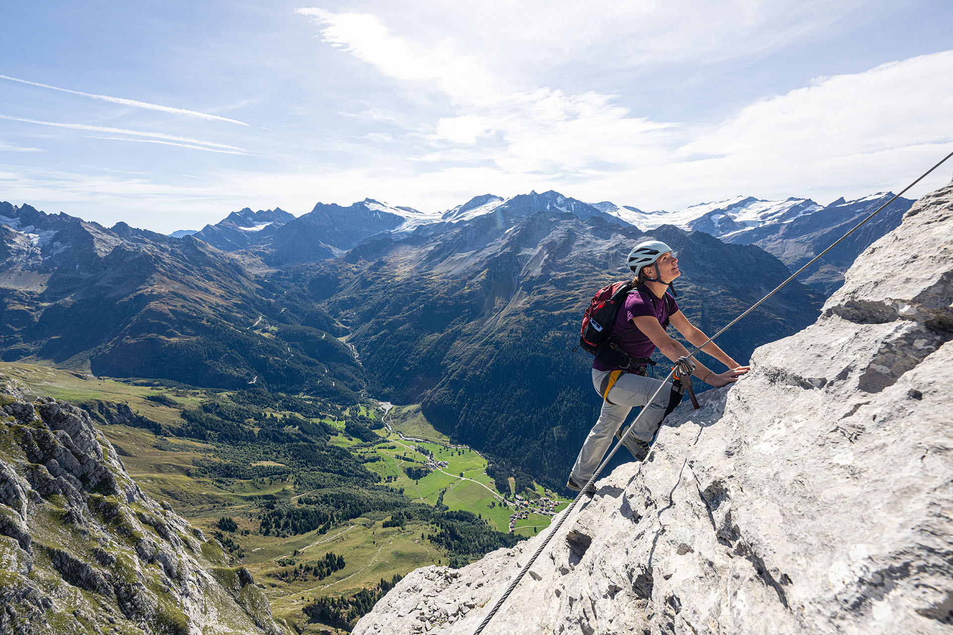
A long Haslital classic above the Tälli area, included as a higher mountain seed route with a distinct approach and descent profile.
Image: Source: Grimselwelt
Difficulty
K3-K4
Very difficult via ferrata
Current status
Currently reported open
Checked 17 h ago
Total time
6 h 30 min
Approach + via ferrata + descent
Last lift down
Check Tällibahn timetable
Segment timings and vertical stats from the current VFOS dataset.
The first of a total 14 ladders, about 8 meters high, signifies the start - with a somewhat tricky, short ascent through a steep gully. After this, traverse on a horizontal band with short airy steps (iron bars) rightwards until the cables lead upwards once again. In some stimulating climbing, follow steep walls, grassy bits and ledges upwards. The steepness gradually decreases as you climb. A nice quirk here is the wooden bench (at about 2240 m) which the Haslital mountain guides installed in a small grotto; a nice place for a break! The cables then lead over a rock step onto the next, striking grass band; this crosses under huge rock walls rightwards to a promising corner. Slowly the extent of the corner comes into view, with its stack of three ladders. It leads to a broad rib, which leads you through the next steep section. Another, breezier, rock band leads rightwards to the next climbing section:"Monas Step", harder for the short. Continue rightwards around a rocky corner to a fascinating view of the summit with Susten Pass behind, and the route book (about 2450 m). The climbing by no means ends here: another five ladders and a few more passages secured by cables lead on to the summit (approx. 2555 m).
No escape point details are recorded yet.
Zoomable topographic map showing available approach, via ferrata, descent, start, finish, and parking geometry. The Download GPX link near the route map heading provides the same route geometry as a file.
Plan around the trailhead, parking, and public transport links.
Last lift down
Check operator
VFOS editorial ratings on a 1-5 scale.
Variety
How much the route changes in movement and terrain.
High 4/5
Complexity
Route-finding and technical problem-solving beyond pure grade.
High 4/5
Beauty
Scenery, setting, and overall aesthetic quality.
Very high 5/5
Exposure
Airiness and exposure independent of technical difficulty.
High 4/5
Sustained effort
How continuous or relentless the physical effort feels.
High 4/5
No crux tags are recorded yet.
A long Haslital classic above the Tälli area, included as a higher mountain seed route with a distinct approach and descent profile.
Check current local information before setting off.
In Switzerland, call Rega on 1414 for mountain rescue. European emergency number: 112.
Cell coverage can be patchy in gorges, valleys, and behind ridges. Download route notes and tell someone your plan.
This route is flagged as exposed or high-grade; avoid thunderstorms, wet cables, and fast-changing alpine weather.
https://www.grimselwelt.ch/ausfluege/klettersteig-taelli/
Last scraped: 30 May 2026 · Source used for attribution and factual cross-checking; VFOS stores only short, paraphrased seed notes.
https://www.grimselwelt.ch/grimselerlebnis/aktiv/klettersteig-taelli/
Last scraped: 4 Jun 2026 · Source used for attribution and factual cross-checking; canonical VFOS text is paraphrased separately.
https://ferrataguide.com/ferrata/T%C3%A4lli_Klettersteig
Last scraped: 4 Jun 2026 · Source used for attribution and factual cross-checking; canonical VFOS text is paraphrased separately.
https://www.openstreetmap.org/way/295767187
Last scraped: 30 May 2026 · OpenStreetMap object reference used for seed coordinate provenance; data available under ODbL.
https://www.sac-cas.ch/en/huts-and-tours/sac-route-portal/gadmerflue-exit-from-the-tallistock-klettersteig-7812/via-ferrata/talli-via-ferrata-848/
Last scraped: 5 Jun 2026 · SAC-CAS route portal source used for route geometry and factual cross-checking; VFOS links back for attribution.
http://www.klettersteig.de/klettersteig/taelli_klettersteig/863
Last scraped: 4 Jun 2026 · Source used for attribution and factual cross-checking; canonical VFOS text is paraphrased separately.
Weather