Difficulty
K3
Difficult via ferrata
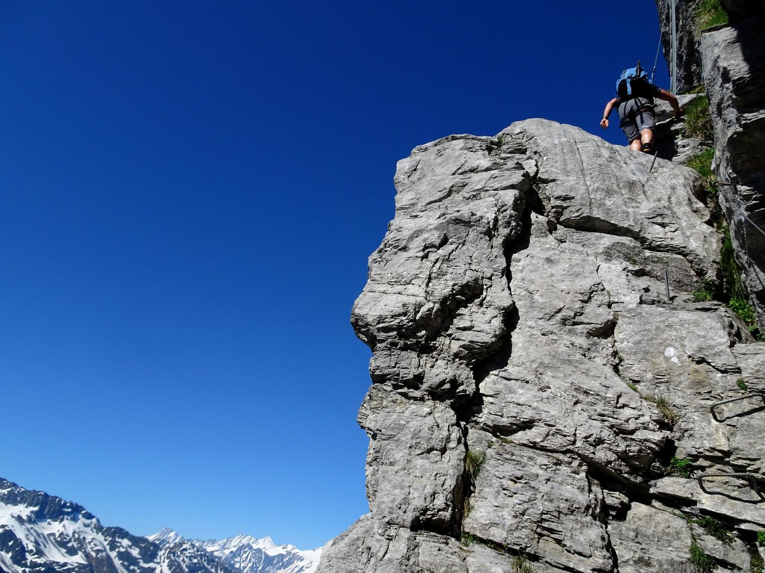
Tällihütte, Bergstation, BE
Image: Fabian Lippuner
Difficulty
K3
Difficult via ferrata
Current status
The latest source indicates this route is open
Checked 14 h ago
Total time
5 h 30 min
Approach + via ferrata + descent
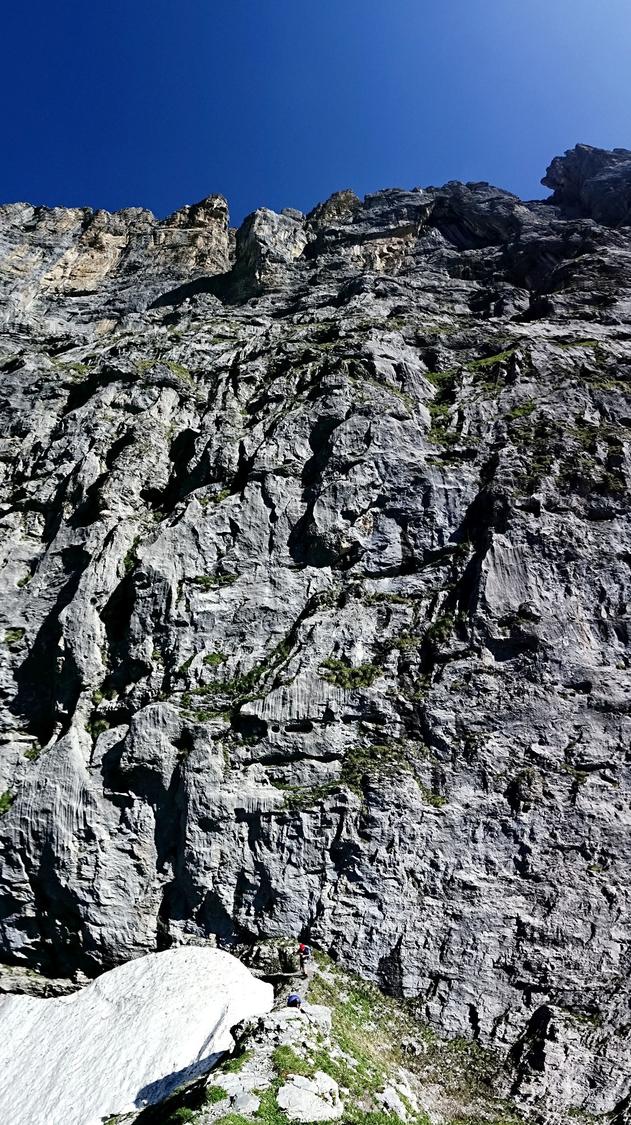
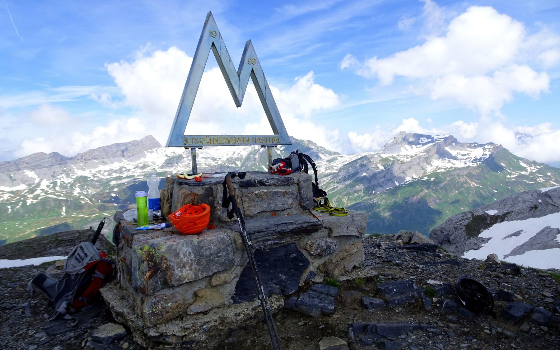
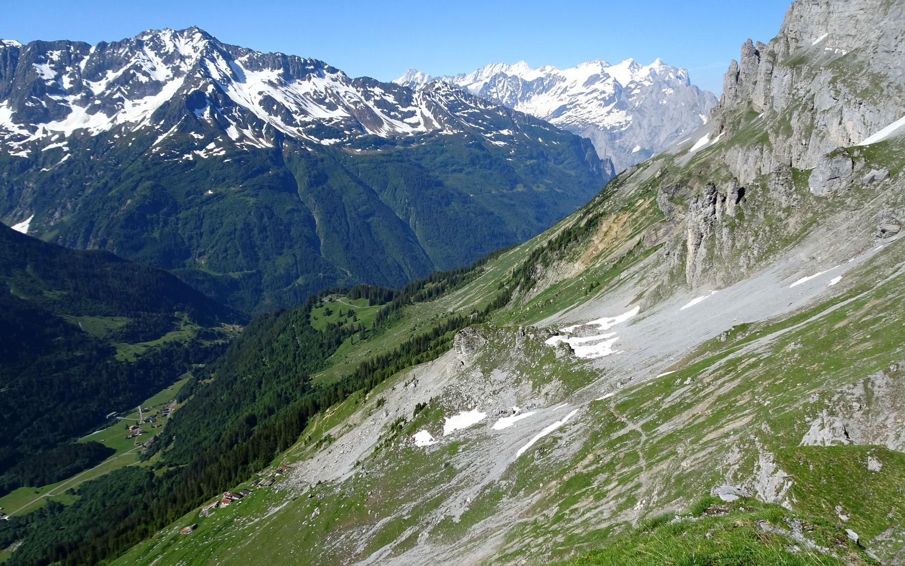
Opened in 1993 by Haslital mountain guides, this was the first via ferrata built in the Swiss Alps and remains one of its classics. It climbs a 600m wall behind the Tällihütte in a winding natural line, mixing steep rock, ladders and cabled bands reminiscent of Dolomite iron ways. Graded K3, it offers about three hours of varied, well-secured climbing to a summit with sweeping views from the Sustenhorn to the Wetterhorn and beyond.
Zoomable topographic map showing available approach, via ferrata, descent, start, finish, and parking geometry. The Download GPX link near the route map heading provides the same route geometry as a file.
Segment timings and vertical stats from the current VFOS dataset.
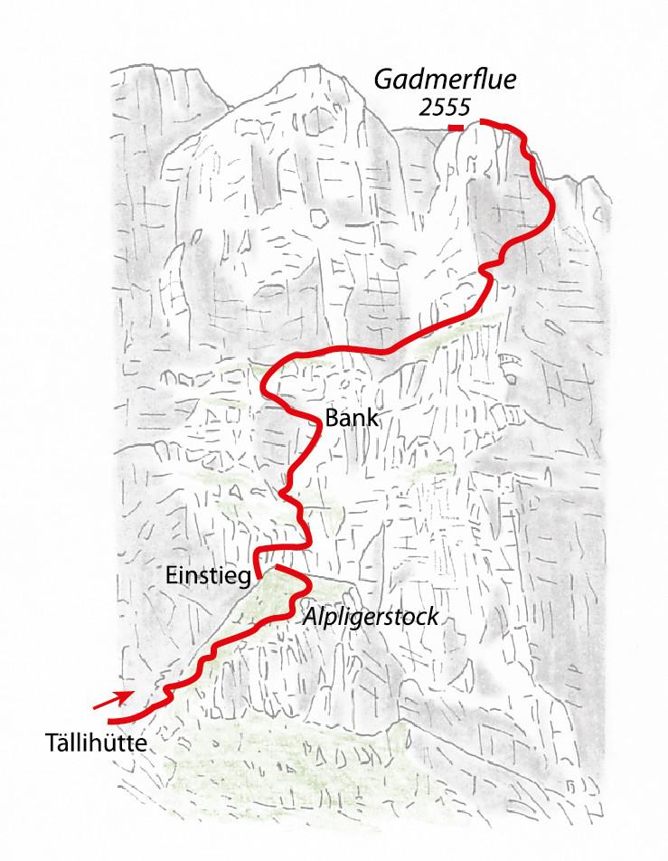
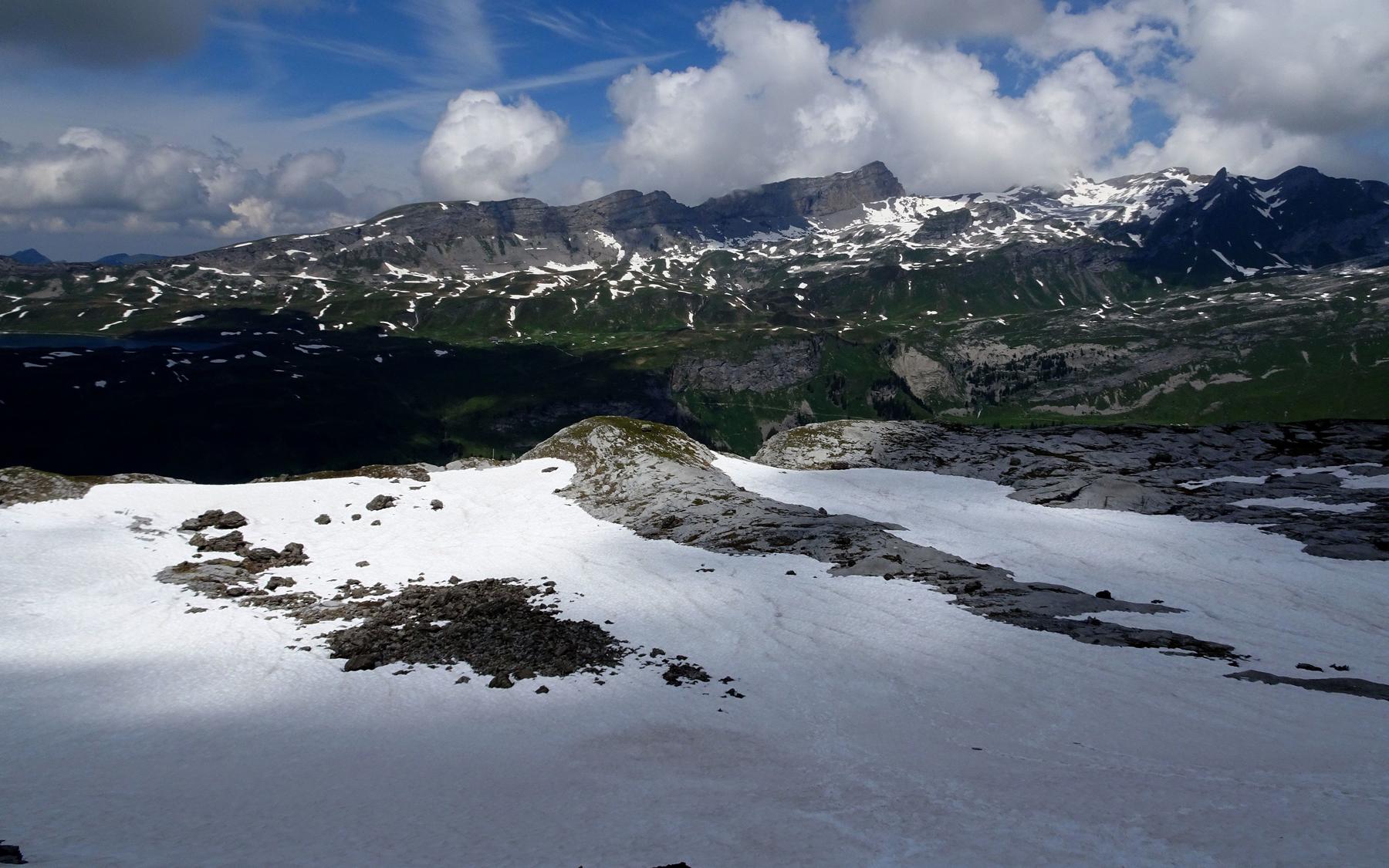
From the Tällihütte terrace, follow a white-blue marked path diagonally uphill (NE) across the Stüelwäng toward the Alpligerstock. Cross an early gully (often snow-filled in early summer), then climb scree secured by steel cables to reach the ferrata's start where the Alpligerstock ridge meets the main Gadmerflue wall.
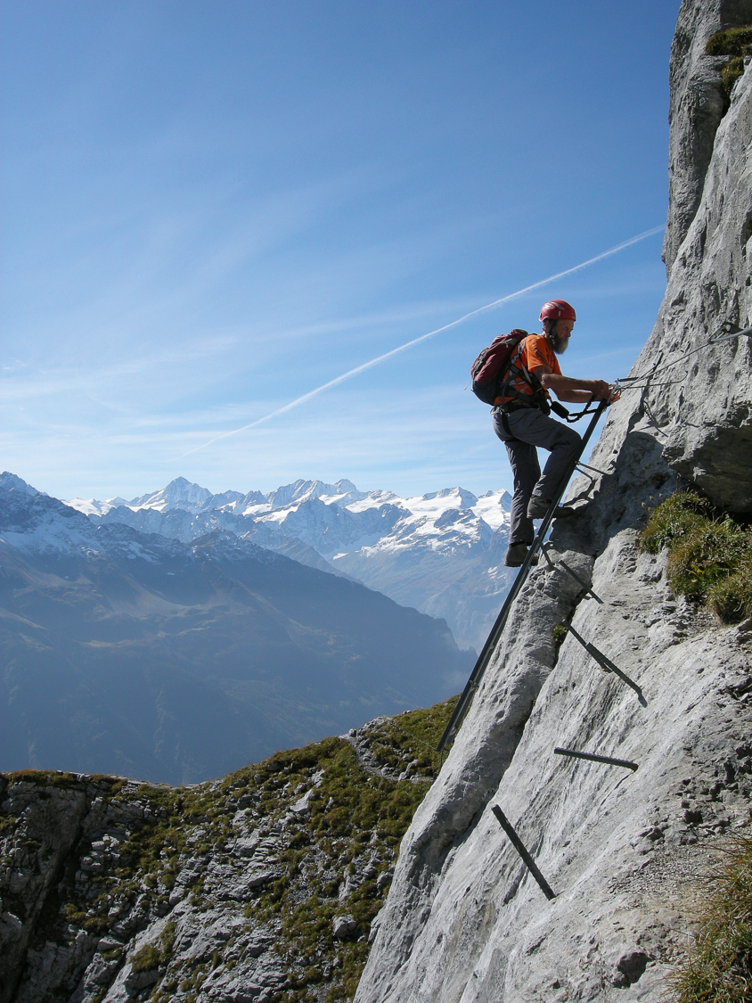
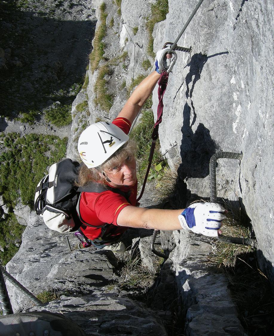
The route opens with an 8m ladder and a short, tricky ascent through a steep gully, followed by an airy rightward traverse on iron bars. Cabled climbing then leads up steep walls, grass ledges and rock steps, easing in angle as height is gained, with a wooden bench at a small grotto offering a rest around 2240m. A grassy band crosses beneath large walls to a corner with a stack of three ladders leading onto a broad rib, then a further airy band brings climbers to "Monas Step," a section noted as harder for shorter climbers. Beyond this, the route curves right for a view toward the Susten Pass and the summit register near 2450m, before five more ladders and additional cabled sections lead to the top at about 2555m.
From the ferrata's top, descend north over rocky steps into a wide gully, following white-blue-white markers and a short downclimb (grade I) before reaching easier grassy terrain marked white-red-white. Continue down to P.1922 above Bäregg, then climb back up about 200m to the Sätteli (2116m), crossing to the sunny south side of the Gadmerflue before dropping to the Tällihütte. Alternatively, from near Bäregg or P.2122, an unmarked variant turns right toward Engstlenalp, passing its lake before reaching the alp for a bus connection back to Gadmertal.
No escape point details are recorded yet.
Typical published season
Hut season dates are not copied as the route season.
VFOS editorial ratings on a 1-5 scale.
Variety
How much the route changes in movement and terrain.
- -
Complexity
Route-finding and technical problem-solving beyond pure grade.
- -
Beauty
Scenery, setting, and overall aesthetic quality.
- -
Exposure
Airiness and exposure independent of technical difficulty.
- -
Sustained effort
How continuous or relentless the physical effort feels.
- -
No crux tags are recorded yet.
Source ratings on the SAC-CAS 1-4 scale.
Plan around the trailhead, parking, and public transport links.
Last lift down
Check operator
Check current local information before setting off.
In Switzerland, call Rega on 1414 for mountain rescue. European emergency number: 112.
Cell coverage can be patchy in gorges, valleys, and behind ridges. Download route notes and tell someone your plan.
Avoid thunderstorms and wet rock. Via ferrata cables can become hazardous quickly in poor weather.
https://www.taelli.ch/klettersteig/
Last scraped: 2 Aug 2026 · Opening-season source retained for status provenance.
https://www.sac-cas.ch/de/huetten-und-touren/sac-tourenportal/gadmerflue-ausstieg-taellistock-klettersteig-7812/berg-und-alpinwandern/zustieg-zum-taelli-klettersteig-849/
Last scraped: 2 Aug 2026 · Official SAC-CAS Route Portal source; English API data and attribution retained.
https://www.sac-cas.ch/de/huetten-und-touren/sac-tourenportal/gadmerflue-ausstieg-taellistock-klettersteig-7812/berg-und-alpinwandern/abstieg-vom-taelli-klettersteig-zur-taellihuette-oder-engstlenalp-850/
Last scraped: 2 Aug 2026 · Official SAC-CAS Route Portal source; English API data and attribution retained.
https://www.sac-cas.ch/de/huetten-und-touren/sac-tourenportal/gadmerflue-ausstieg-taellistock-klettersteig-7812/klettersteig/taelli-klettersteig-848/
Last scraped: 2 Aug 2026 · Official SAC-CAS Route Portal source; English API data and attribution retained.
No contested fields are currently flagged.
Weather