Difficulty
K3
Difficult via ferrata
Location TBC
Tierbergli-Klettersteig is a K3 via ferrata in Location TBC.
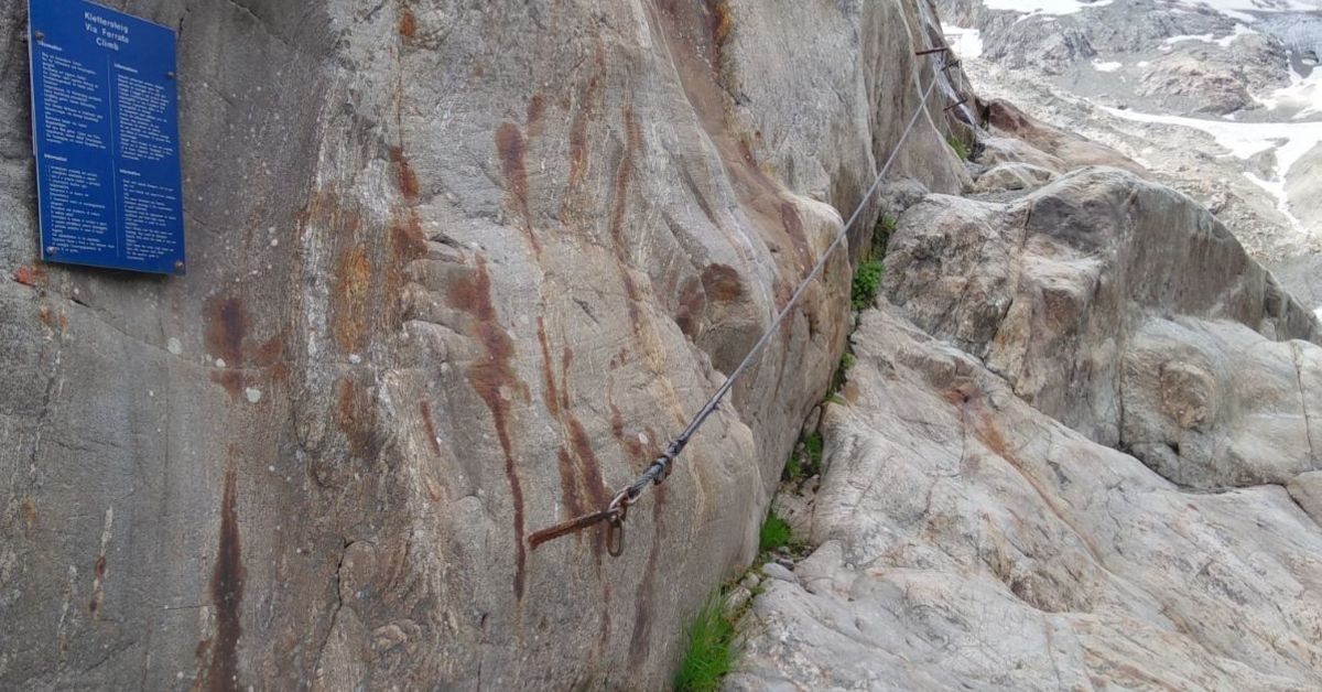
Image: Source: SAC-CAS route: Tierbergli via ferrata
Difficulty
K3
Difficult via ferrata
Current status
Currently reported open
Checked 17 h ago
Total time
TBC
Approach + via ferrata + descent
Last lift down
Check Location TBC timetable
Segment timings and vertical stats from the current VFOS dataset.
Ein paar Schritte jenseits der Brücke beim Umpol-Parkplatz rechter Hand am Felsfuss das erste Drahtseil (ca. 2100 m). Die Route startet gemütlich, führt, zunächst nur sanft ansteigend, über blanke, vom Eis des Steinlimigletschers abgehobelte Felsen in die Ostflanke des Tierberglis, quert dann eine Schlucht wenig oberhalb ihres Ansatzpunkts. Allmählich wird das Gelände steiler, Eisenbügel entschärfen trittarme Aufschwünge. Der Steinlimigletscher kommt immer schöner ins Bild, bald einmal auch die Schlüsselstelle, eine leicht überhängende Wandpartie höher in der Bergflanke. Man geht sie von rechts an; ein paar Eisenbügel leiten auf ein Band, weiteres Eisen sichert die abdrängende Querung, dann hilft kräftiger Armzug (umhängen nicht vergessen!) in leichteres Gelände. Drahtseile leiten über gestufte Felsen zu einem kleinen Aufschwung, der nochmals vollen Einsatz verlangt (ungünstig gesetzte Sicherungen), dann folgt man den Drahtseilen nach links auf die mächtige Geröllterrasse in knapp halber Wandhöhe (ca. 2380 m, 1½ Std.). Hier wird der Hüttenzustieg gekreuzt. Ein Schild mit der Aufschrift «Klettersteig» weist nach links, gegen den Ansatzpunkt eines markanten Pfeilers. Man quert das Blockgelände (im Frühsommer Schnee) zum zweiten Einstieg (gelb-rote Markierung). Drahtseile leiten links über den Steilfels aufwärts, einige Stellen sind recht ausgesetzt. Eine kleine Kuppe bietet Gelegenheit zum Verschnaufen; wenig höher mündet die Route auf einen Blockhang. Nach etwa 50 Metern hat man das instabile Gelände hinter sich gelassen, es folgt die nächste, etwa 30 Meter hohe Kletterstrecke. Sie mündet erneut ins Geröll. Wenig höher heisst es nochmals sichern. Über eine mächtige, steile Platte leitet das Drahtseil (einige künstliche Tritte) zum Ausstieg auf einer Schulter (Routenbuch, ca. 2610 m, 2¾ Std.).
No escape point details are recorded yet.
Zoomable topographic map showing available approach, via ferrata, descent, start, finish, and parking geometry. The Download GPX link near the route map heading provides the same route geometry as a file.
Plan around the trailhead, parking, and public transport links.
Last lift down
Check operator
Transport nodes are not linked yet. Use the start-point navigation and verify access locally.
VFOS editorial ratings on a 1-5 scale.
Variety
How much the route changes in movement and terrain.
TBC TBC
Complexity
Route-finding and technical problem-solving beyond pure grade.
TBC TBC
Beauty
Scenery, setting, and overall aesthetic quality.
TBC TBC
Exposure
Airiness and exposure independent of technical difficulty.
TBC TBC
Sustained effort
How continuous or relentless the physical effort feels.
TBC TBC
No crux tags are recorded yet.
Tierbergli-Klettersteig is a K3 via ferrata in Location TBC.
Check current local information before setting off.
In Switzerland, call Rega on 1414 for mountain rescue. European emergency number: 112.
Cell coverage can be patchy in gorges, valleys, and behind ridges. Download route notes and tell someone your plan.
Avoid thunderstorms and wet rock. Via ferrata cables can become hazardous quickly in poor weather.
https://www.sac-cas.ch/en/huts-and-tours/sac-route-portal/tierberglihutte-sac-2147000269/via-ferrata/tierbergli-via-ferrata-674/
Last scraped: 5 Jun 2026 · SAC-CAS route portal source used for route geometry and factual cross-checking; VFOS links back for attribution.
https://www.openstreetmap.org/way/180171708
Last scraped: 4 Jun 2026 · OpenStreetMap object reference used for coordinate/source provenance; data available under ODbL.
No contested fields are currently flagged.
Weather