Difficulty
K4
Very difficult via ferrata
Saillon St-Laurent, VS
Image: Valais/Wallis Promotion
Difficulty
K4
Very difficult via ferrata
Current status
The latest source indicates this route is open
Checked 14 h ago
Total time
4 h 40 min
Approach + via ferrata + descent
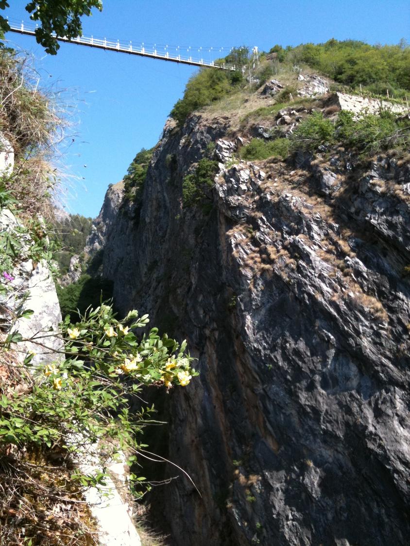
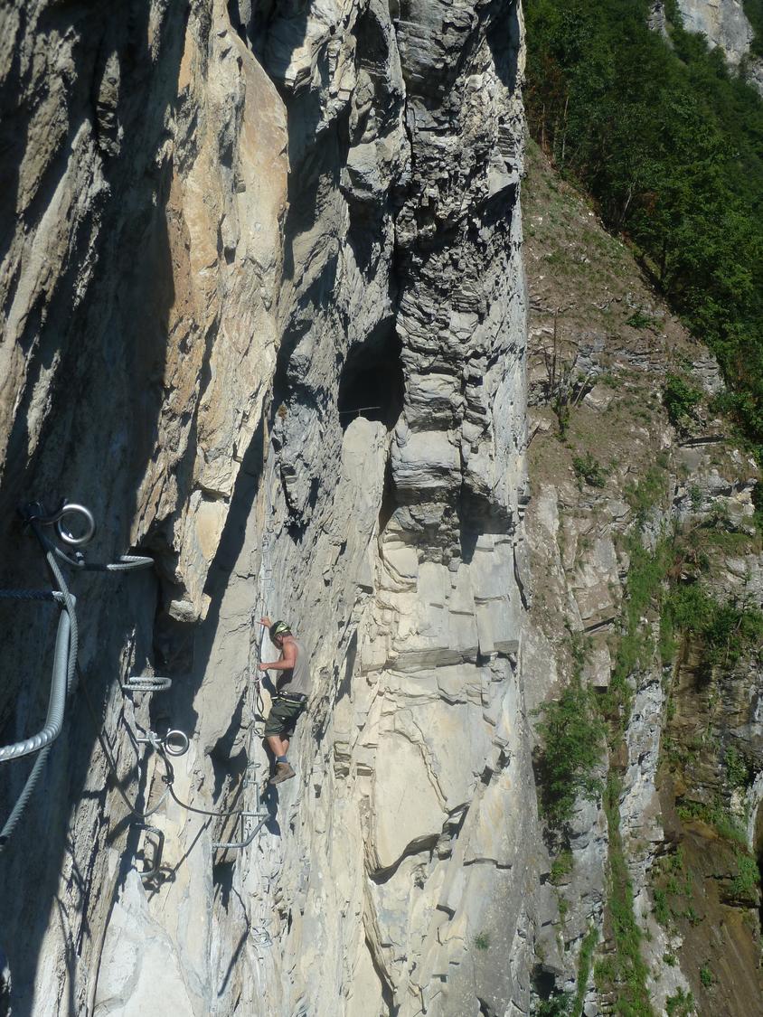
This second section of the Via Farinetta climbs through the Gorges de la Salentse from the end of Part 1 to the Passerelle à Farinet suspension bridge. Rated K4+, it is considerably harder and more exposed than the opening part, demanding solid arm strength and technique. The route follows an old water conduit before tackling a steep, partly overhanging wall on the way to the gorge rim.
Zoomable topographic map showing available approach, via ferrata, descent, start, finish, and parking geometry. The Download GPX link near the route map heading provides the same route geometry as a file.
Segment timings and vertical stats from the current VFOS dataset.
From the bus stop at the bridge near Saillon and Leytron, cross the Salentse stream and follow the track up its right bank into the gorge. A wooden bridge leads across to the remains of the old baths, where the Farinet memorial plaque and information board mark the via ferrata's start around 540 m.
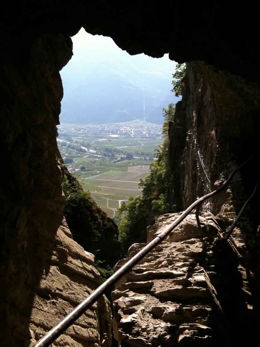
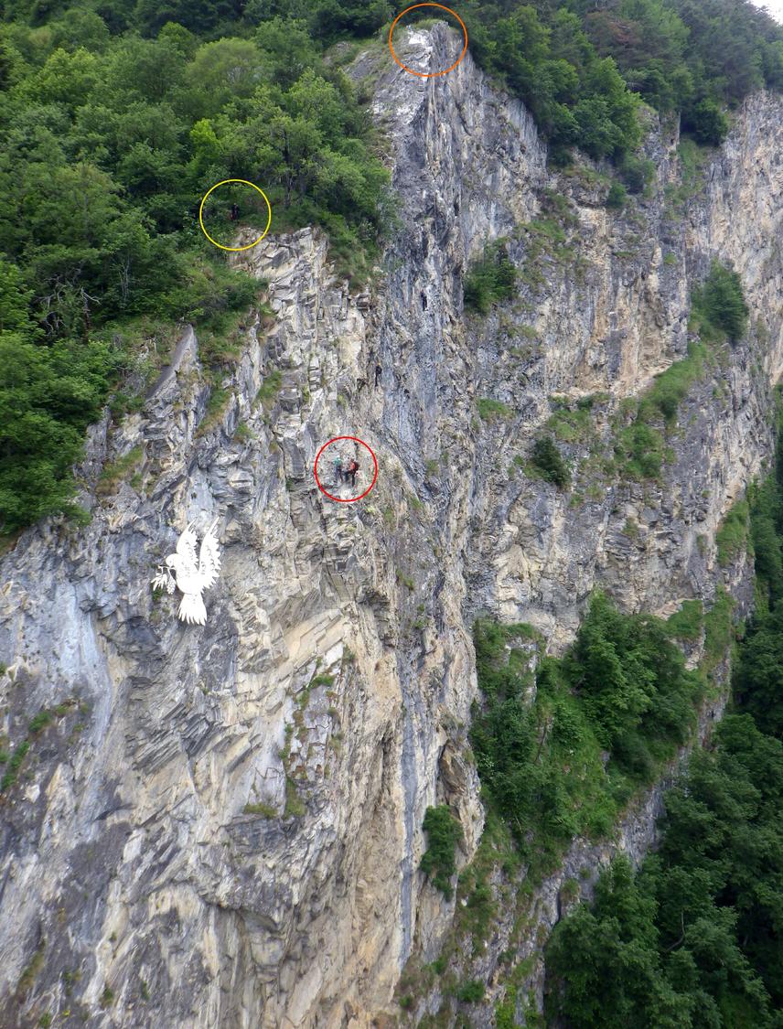
Beyond Part 1, briefly trace the old water pipe along the gorge wall, cross an exposed vertical face, and pass through the former water tunnel. Climb blasted rock to a short ladder some 75 metres below the suspension bridge, then follow partly overhanging terrain that angles right before heading nearly straight up, with occasional ledges for rest. Continue past the junction leading to the much harder third section, marked by a white dove sculpture, and reach around 840 m where an easy path descends to the Passerelle à Farinet at 816 m.
From any of the three via ferrata exits, make for the Passerelle à Farinet bridge. From there, choose between a roughly 50-minute vineyard path down to Saillon, a 15-minute road walk to the Les Places bus stop, or a 20-minute trail down to Montagnon with its restaurant and bus stop.
No escape point details are recorded yet.
Typical published season
The recurring dates represent the published 2025/26 closure window of 1 December to 29 March.
VFOS editorial ratings on a 1-5 scale.
Variety
How much the route changes in movement and terrain.
- -
Complexity
Route-finding and technical problem-solving beyond pure grade.
- -
Beauty
Scenery, setting, and overall aesthetic quality.
- -
Exposure
Airiness and exposure independent of technical difficulty.
- -
Sustained effort
How continuous or relentless the physical effort feels.
- -
No crux tags are recorded yet.
Source ratings on the SAC-CAS 1-4 scale.
Plan around the trailhead, parking, and public transport links.
Last lift down
Check operator
Check current local information before setting off.
In Switzerland, call Rega on 1414 for mountain rescue. European emergency number: 112.
Cell coverage can be patchy in gorges, valleys, and behind ridges. Download route notes and tell someone your plan.
This route is flagged as exposed or high-grade; avoid thunderstorms, wet cables, and fast-changing alpine weather.
https://www.valais.ch/en/explore/activities/other-summer-activities/fixed-rope-routes/via-farinetta
Last scraped: 2 Aug 2026 · Opening-season source retained for status provenance.
https://www.sac-cas.ch/de/huetten-und-touren/sac-tourenportal/passerelle-a-farinet-12215/berg-und-alpinwandern/zustieg-und-abstieg-via-farinetta-40503/
Last scraped: 2 Aug 2026 · Official SAC-CAS Route Portal source; English API data and attribution retained.
https://www.sac-cas.ch/de/huetten-und-touren/sac-tourenportal/passerelle-a-farinet-12215/berg-und-alpinwandern/zustieg-und-abstieg-via-farinetta-40503/
Last scraped: 2 Aug 2026 · Official SAC-CAS Route Portal source; English API data and attribution retained.
https://www.sac-cas.ch/de/huetten-und-touren/sac-tourenportal/passerelle-a-farinet-12215/klettersteig/via-farinetta-teil-2-40501/
Last scraped: 2 Aug 2026 · Official SAC-CAS Route Portal source; English API data and attribution retained.
No contested fields are currently flagged.
Weather