Difficulty
K5
Extremely difficult via ferrata
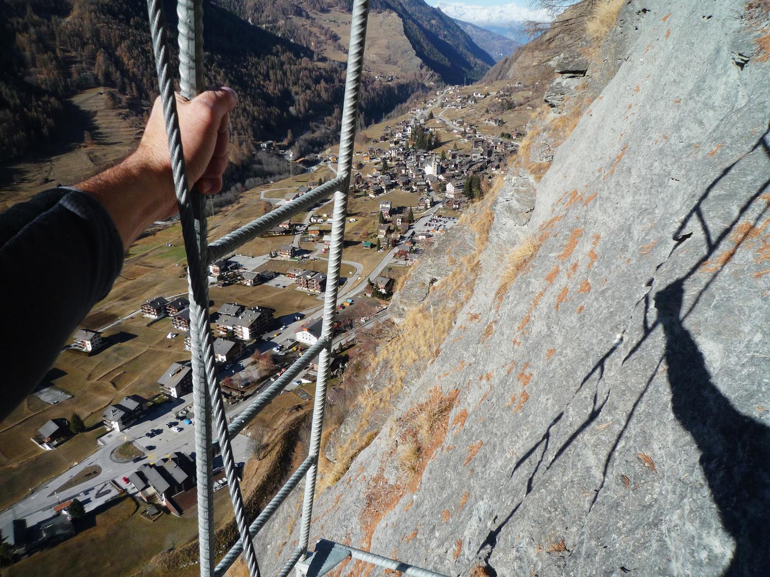
Evolène, La Fauchère, VS
Image: Anker Daniel
Difficulty
K5
Extremely difficult via ferrata
Current status
No reliable current status yet
Checked 14 h ago
Total time
2 h
Approach + via ferrata + descent
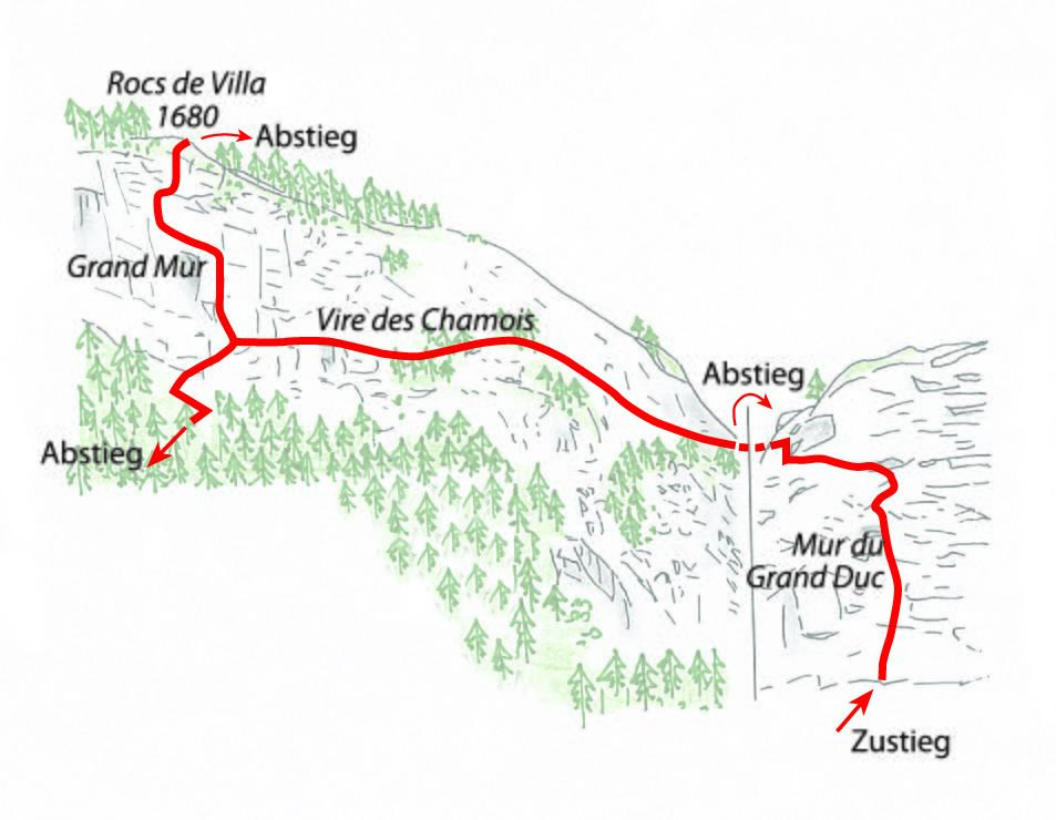
The Via ferrata d'Evolène climbs the Rocs de Villa directly above the village in three linked sections, taking roughly two hours round trip. It begins with the steep Mur du Grand Duc, crosses the Vire des Chamois ledge, and finishes with the exposed, overhanging Grand Mur before descending through larch woods back to the valley. Each of the three sectors can also be climbed independently, and gear can be hired in the village.
Zoomable topographic map showing available approach, via ferrata, descent, start, finish, and parking geometry. The Download GPX link near the route map heading provides the same route geometry as a file.
Segment timings and vertical stats from the current VFOS dataset.
From the La Fauchère bus stop, walk about 100 m down the valley to the information board, then follow the marked zigzag path up to the via ferrata start at around 1500 m.
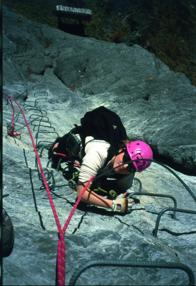
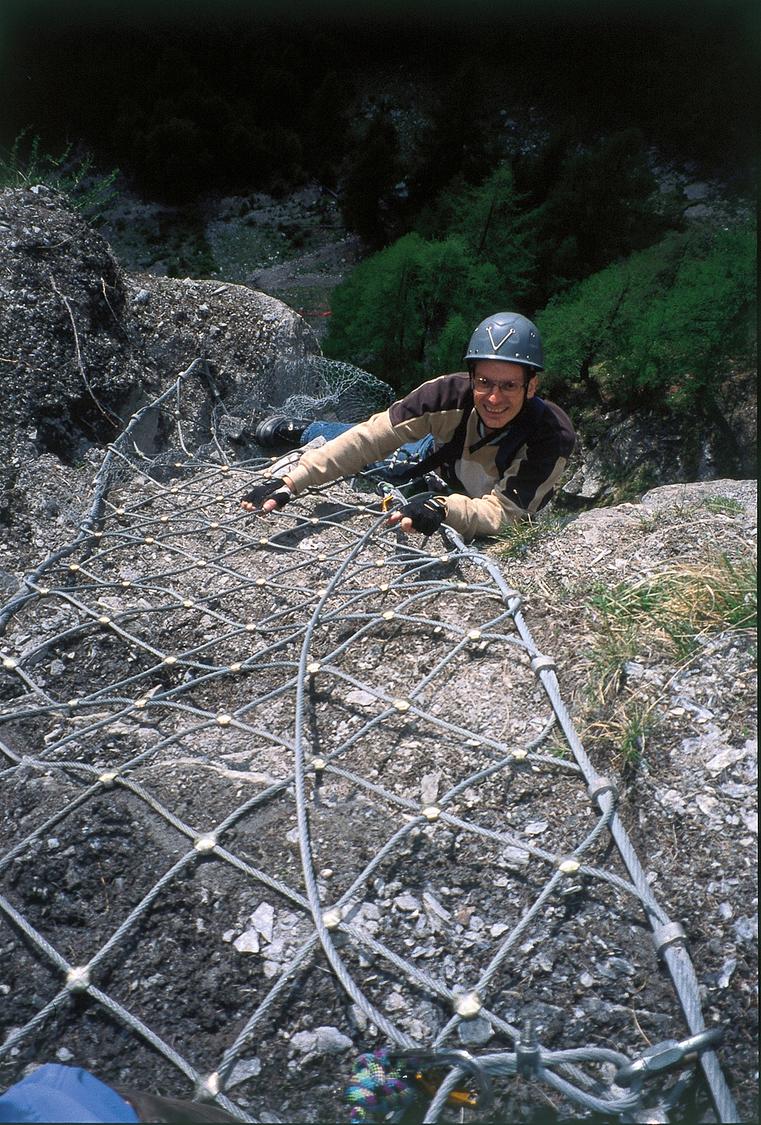
The route opens with the Mur du Grand Duc, a series of vertical and slightly overhanging steps linked by traverse ledges, leading to an exposed ladder section before reaching the grassy Vire des Chamois, where an optional exit south is possible. Continuing north along the ledge, the path dips then climbs before a rocky down-climb and traverse bring you to the base of the Grand Mur at about 1610 m. The final wall begins with an awkward overhanging pull where body position tilts outward, demanding strong arm and leg work to gain height, followed by easier climbing and a final unnerving step across a wire-mesh rung. The ferrata ends near 1680 m at the 'Sortie des héros' sign, from which a path drops through open larch forest to a viewpoint with a bench at about 1660 m.
From the top, follow a zigzag path (with optional cable) down sunny slopes along the clifftop, where the Vire des Chamois escape route rejoins from the right. Continue on the old marked footpath between Villa and Evolène, retracing the approach back to the valley and the bus stop.
No escape point details are recorded yet.
VFOS editorial ratings on a 1-5 scale.
Variety
How much the route changes in movement and terrain.
- -
Complexity
Route-finding and technical problem-solving beyond pure grade.
- -
Beauty
Scenery, setting, and overall aesthetic quality.
- -
Exposure
Airiness and exposure independent of technical difficulty.
- -
Sustained effort
How continuous or relentless the physical effort feels.
- -
No crux tags are recorded yet.
Source ratings on the SAC-CAS 1-4 scale.
Plan around the trailhead, parking, and public transport links.
Last lift down
Check operator
Check current local information before setting off.
In Switzerland, call Rega on 1414 for mountain rescue. European emergency number: 112.
Cell coverage can be patchy in gorges, valleys, and behind ridges. Download route notes and tell someone your plan.
This route is flagged as exposed or high-grade; avoid thunderstorms, wet cables, and fast-changing alpine weather.
https://www.evolene-region.ch/en/evolene-via-ferrata-fp40366
Last scraped: 2 Aug 2026 · Opening-season source retained for status provenance.
https://www.sac-cas.ch/de/huetten-und-touren/sac-tourenportal/rocs-de-villa-7802/berg-und-alpinwandern/zustieg-via-ferrata-devolene-1827/
Last scraped: 2 Aug 2026 · Official SAC-CAS Route Portal source; English API data and attribution retained.
https://www.sac-cas.ch/de/huetten-und-touren/sac-tourenportal/rocs-de-villa-7802/berg-und-alpinwandern/abstieg-via-ferrata-devolene-1830/
Last scraped: 2 Aug 2026 · Official SAC-CAS Route Portal source; English API data and attribution retained.
https://www.sac-cas.ch/de/huetten-und-touren/sac-tourenportal/rocs-de-villa-7802/klettersteig/via-ferrata-devolene-1829/
Last scraped: 2 Aug 2026 · Official SAC-CAS Route Portal source; English API data and attribution retained.
No contested fields are currently flagged.
Weather