Difficulty
K5
Extremely difficult via ferrata
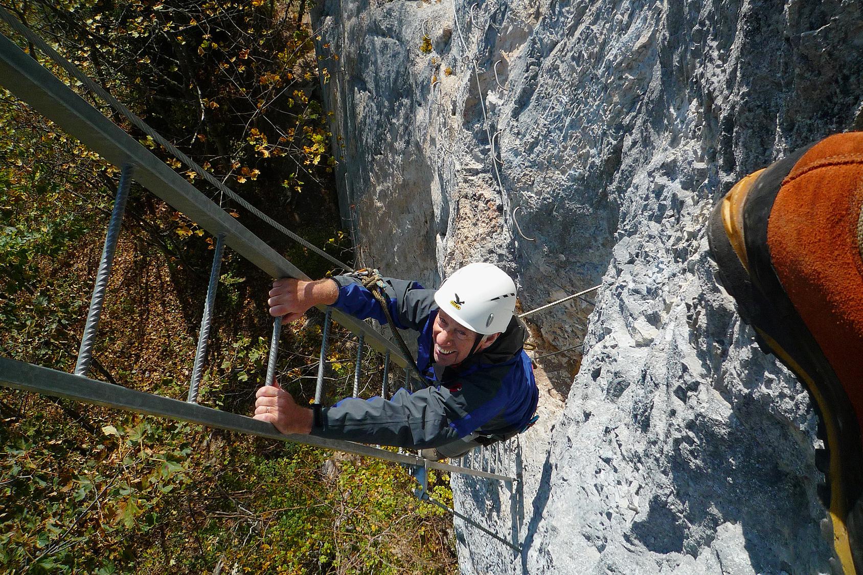
Leysin-Feydey, VD
Image: Daniel Anker
Difficulty
K5
Extremely difficult via ferrata
Current status
No reliable current status yet
Checked 14 h ago
Total time
1 h 20 min
Approach + via ferrata + descent
The Via Ferrata de Planpraz is a short, intense K5 route on the cliffs above Leysin, reached in about 20 minutes from the Feydey station. Set on a wide but relatively low cliff band, it favors traversing over long vertical climbs, with several taut cable bridges and two notably overhanging sections. Though brief, it demands solid arm strength and technique, making it a serious workout despite its proximity to the village.
Zoomable topographic map showing available approach, via ferrata, descent, start, finish, and parking geometry. The Download GPX link near the route map heading provides the same route geometry as a file.
Segment timings and vertical stats from the current VFOS dataset.
From Leysin-Feydey station (1398 m), walk north-east through the village toward Le Fer to the forest edge near 1430 m, where a signed path leads to the ferrata start. The trail zigzags up to the cliff base at about 1500 m, a climb of roughly 20 minutes beneath the Berneuse cable car line.
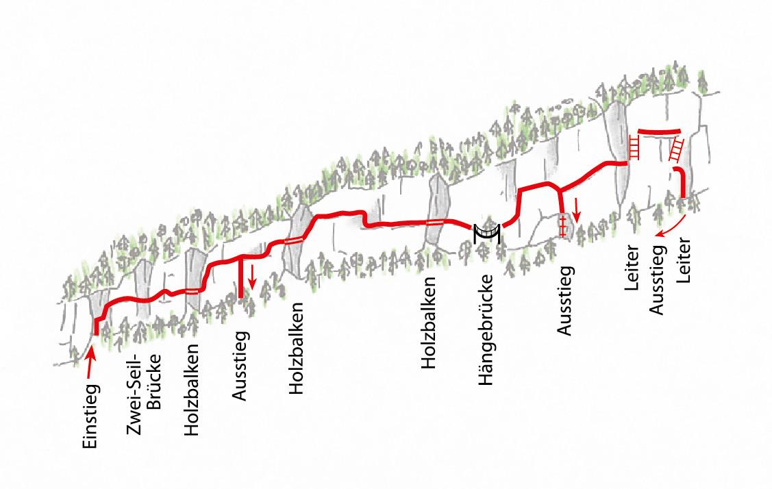
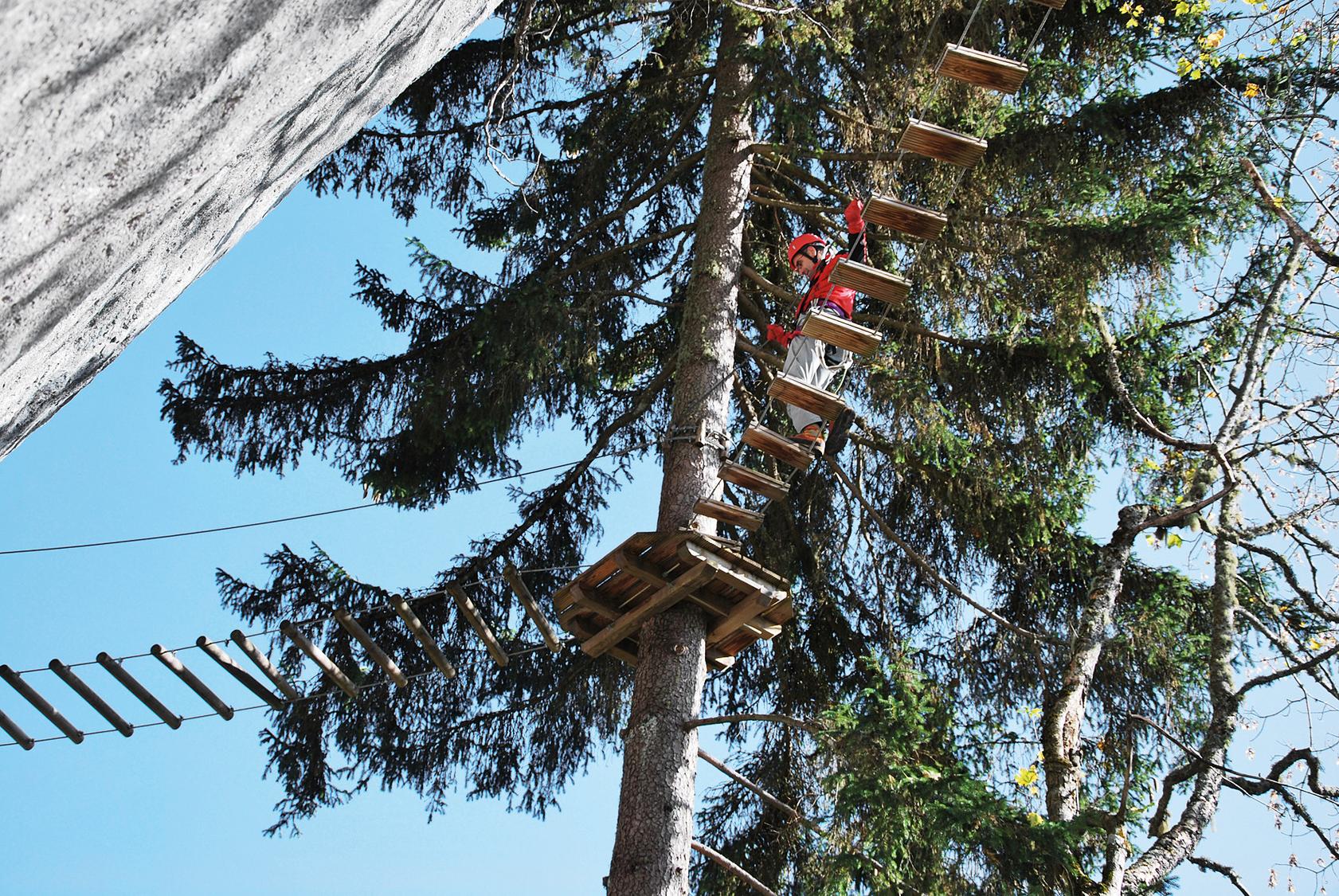
The route traverses the cliff band in three roughly equal sections, interrupted by a short wooded walking stretch. It opens directly into technical climbing, crossing a two-cable bridge before a vertical section leads to a wooden balance beam and a strenuous hanging traverse, with an escape option shortly after. The second section includes another overhang, a rock-top recovery, pushy moves, a second wooden beam, and two wobbly bridges before a ladder escape option; the final section features two outward-leaning metal ladders climbed with the back to the wall, ending with more traversing to solid ground.
No escape point details are recorded yet.
VFOS editorial ratings on a 1-5 scale.
Variety
How much the route changes in movement and terrain.
- -
Complexity
Route-finding and technical problem-solving beyond pure grade.
- -
Beauty
Scenery, setting, and overall aesthetic quality.
- -
Exposure
Airiness and exposure independent of technical difficulty.
- -
Sustained effort
How continuous or relentless the physical effort feels.
- -
No crux tags are recorded yet.
Source ratings on the SAC-CAS 1-4 scale.
Plan around the trailhead, parking, and public transport links.
Last lift down
Check operator
Check current local information before setting off.
In Switzerland, call Rega on 1414 for mountain rescue. European emergency number: 112.
Cell coverage can be patchy in gorges, valleys, and behind ridges. Download route notes and tell someone your plan.
This route is flagged as exposed or high-grade; avoid thunderstorms, wet cables, and fast-changing alpine weather.
https://www.alpesvaudoises.ch/fr/P485/leysin/via-ferrata-de-plan-praz
Last scraped: 4 Aug 2026 · Owner-approved opening-status source from the 2026-08-04 review.
https://www.alpesvaudoises.ch/fr/G1143
Last scraped: 2 Aug 2026 · Opening-season source retained for status provenance.
https://www.sac-cas.ch/de/huetten-und-touren/sac-tourenportal/rochers-de-planpraz-7793/berg-und-alpinwandern/zustieg-via-ferrata-de-planpraz-891/
Last scraped: 2 Aug 2026 · Official SAC-CAS Route Portal source; English API data and attribution retained.
https://www.sac-cas.ch/de/huetten-und-touren/sac-tourenportal/rochers-de-planpraz-7793/klettersteig/via-ferrata-de-planpraz-716/
Last scraped: 2 Aug 2026 · Official SAC-CAS Route Portal source; English API data and attribution retained.
No contested fields are currently flagged.
Weather