Difficulty
K3
Difficult via ferrata
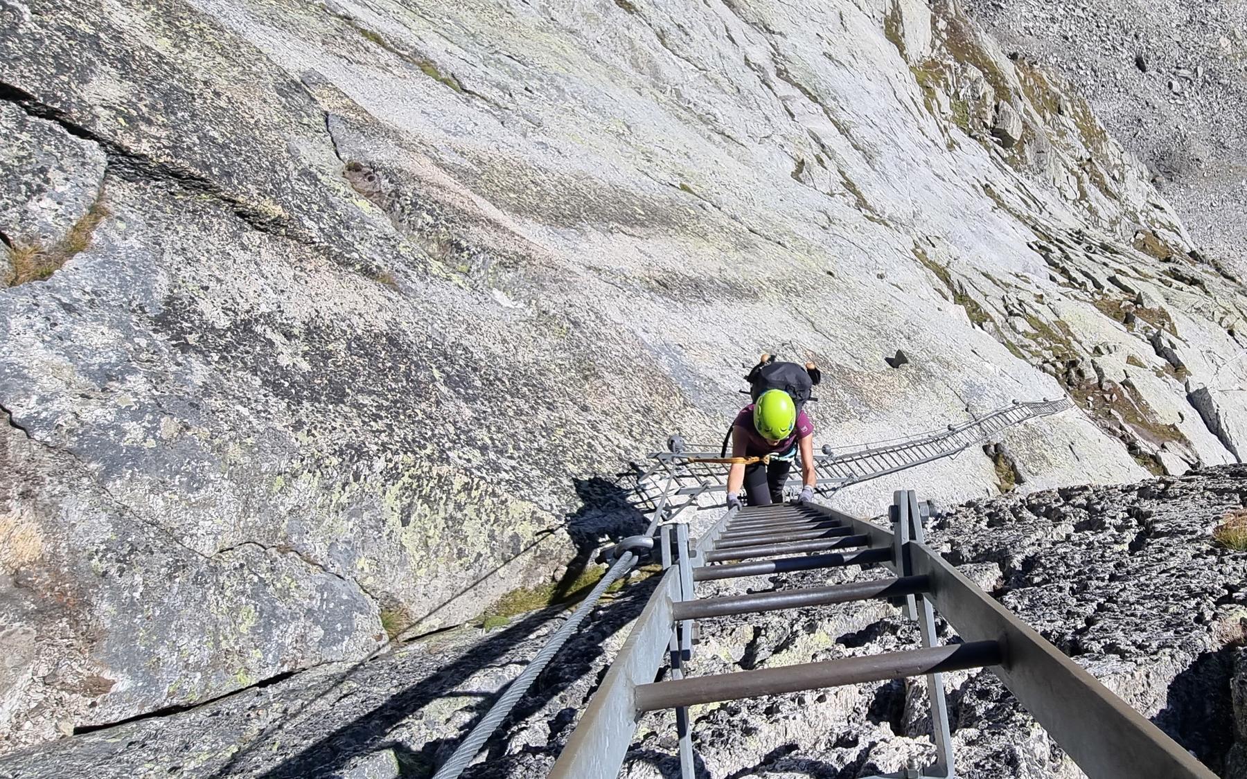
Zwischbergen, Bord, VS
Image: Christine Derivaz
Difficulty
K3
Difficult via ferrata
Current status
Today falls within the published opening season
Checked 14 h ago
Total time
4 h 30 min
Approach + via ferrata + descent
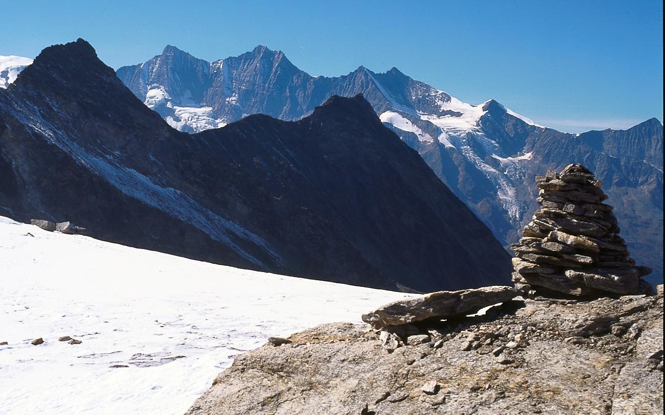
This unusual via ferrata was built by Saas Valley mountain guides but lies on Italian (Piedmont) soil, linking Rifugio Andolla with the Almagellerhütte as part of a two-day crossing from Gondo to the Saas Valley. Despite its name, no lake is found near the route itself; it references the distant Lago Maggiore, visible from the Sonnigpass on clear days. The via ferrata is only a moderately difficult highlight within a much larger alpine journey through the wild, little-visited Zwischbergental and Almageller valley. Good weather, solid mountain experience, and up-to-date route conditions matter more here than raw climbing strength.
Zoomable topographic map showing available approach, via ferrata, descent, start, finish, and parking geometry. The Download GPX link near the route map heading provides the same route geometry as a file.
Segment timings and vertical stats from the current VFOS dataset.
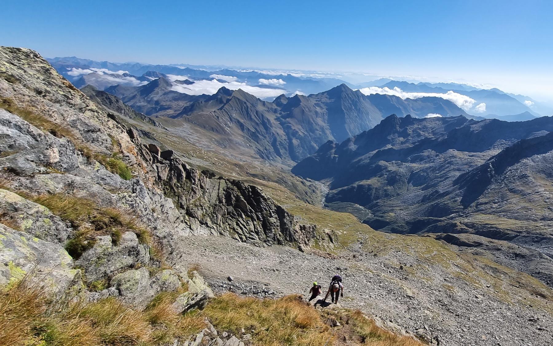
From Zwischbergen, follow the trail over the Passo d'Andolla to Rifugio Andolla (4-5 hrs). From there, a well-marked path gains height steadily through the Alpi di Andolla; at a junction (2458 m) keep right toward the Bivacco Varese, ascending stony meadow slopes to the start of the Mittelrücken east ridge and the always-open bivouac. From Bivacco Varese, follow a faint trail steeply up to the start of the via ferrata (approx. 2880 m, about 2½ hrs from Rifugio Andolla).
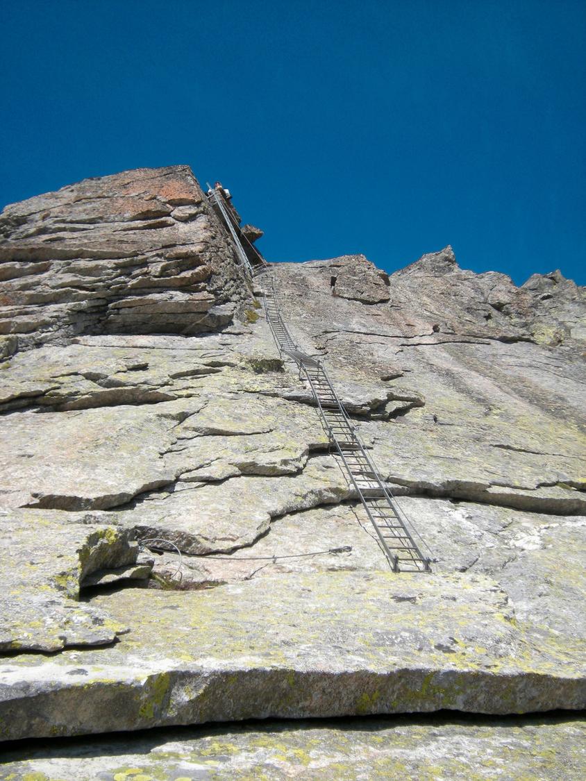
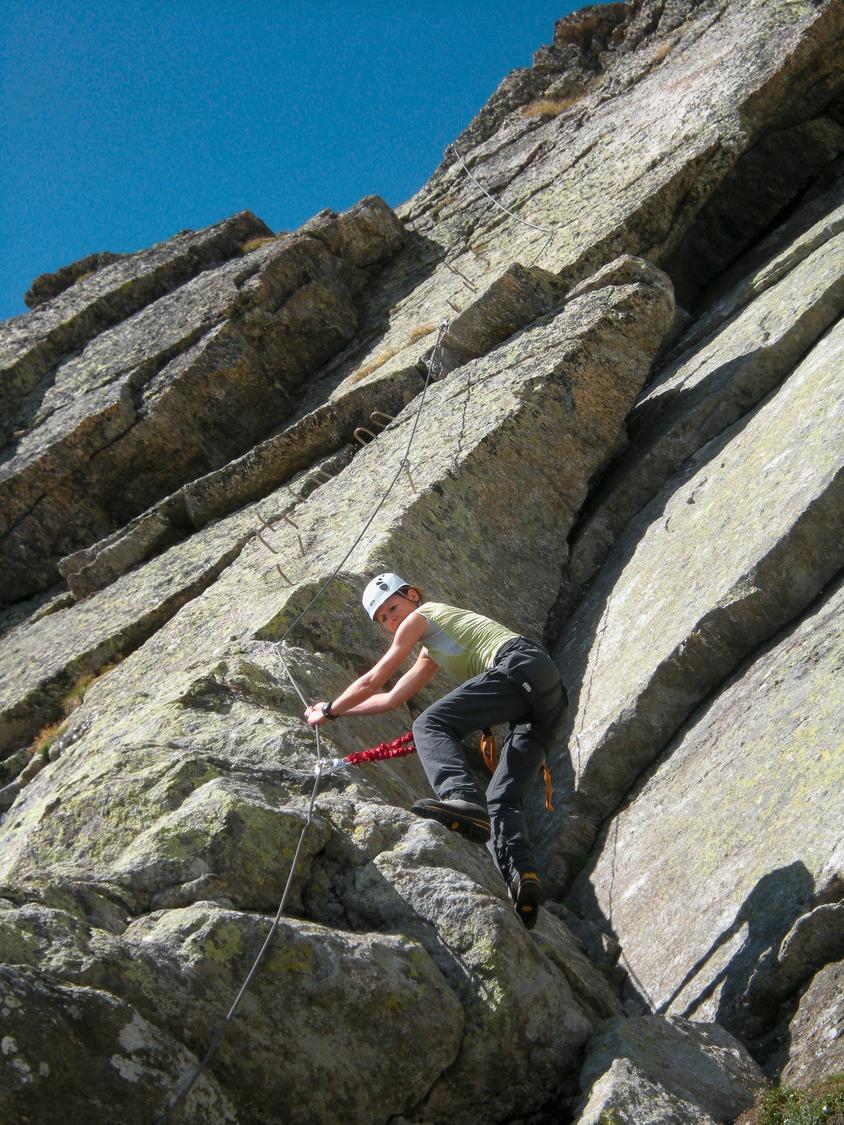
The route begins easily over slabs and grassy ledges before steepening into well-secured sections. Climbing is engaging and height is gained quickly, aided by iron rungs and bars where natural holds are lacking. A dramatic series of ladders leads up the final wall to the Sonnigpass at 3147 m, marking the top of the ferrata.
From the exit, descend the gently sloping western snowfield into rocky terrain, where white-blue-white markers guide the way across block- and scree-covered ground beneath the Portjengrat, with a few short counter-ascents, down to the Almagellerhütte. From there, follow the hut trail past the Almagelleralp to Saas Almagell (about 2½ hrs).
No escape point details are recorded yet.
Typical published season
Dates are the calendar representation of the source's approximate wording; conditions can shorten the season.
VFOS editorial ratings on a 1-5 scale.
Variety
How much the route changes in movement and terrain.
- -
Complexity
Route-finding and technical problem-solving beyond pure grade.
- -
Beauty
Scenery, setting, and overall aesthetic quality.
- -
Exposure
Airiness and exposure independent of technical difficulty.
- -
Sustained effort
How continuous or relentless the physical effort feels.
- -
No crux tags are recorded yet.
Source ratings on the SAC-CAS 1-4 scale.
Plan around the trailhead, parking, and public transport links.
Last lift down
Check operator
Check current local information before setting off.
In Switzerland, call Rega on 1414 for mountain rescue. European emergency number: 112.
Cell coverage can be patchy in gorges, valleys, and behind ridges. Download route notes and tell someone your plan.
Avoid thunderstorms and wet rock. Via ferrata cables can become hazardous quickly in poor weather.
https://www.saas-fee.ch/en/summer-activities/climbing-mountaineering/via-ferrata
Last scraped: 2 Aug 2026 · Opening-season source retained for status provenance.
https://www.sac-cas.ch/de/huetten-und-touren/sac-tourenportal/sonnigpass-4688/berg-und-alpinwandern/zustieg-via-ferrata-del-lago-988/
Last scraped: 2 Aug 2026 · Official SAC-CAS Route Portal source; English API data and attribution retained.
https://www.sac-cas.ch/de/huetten-und-touren/sac-tourenportal/sonnigpass-4688/berg-und-alpinwandern/abstieg-via-ferrata-del-lago-989/
Last scraped: 2 Aug 2026 · Official SAC-CAS Route Portal source; English API data and attribution retained.
https://www.sac-cas.ch/de/huetten-und-touren/sac-tourenportal/sonnigpass-4688/klettersteig/via-ferrata-del-lago-727/
Last scraped: 2 Aug 2026 · Official SAC-CAS Route Portal source; English API data and attribution retained.
No contested fields are currently flagged.
Weather