Difficulty
K4
Very difficult via ferrata
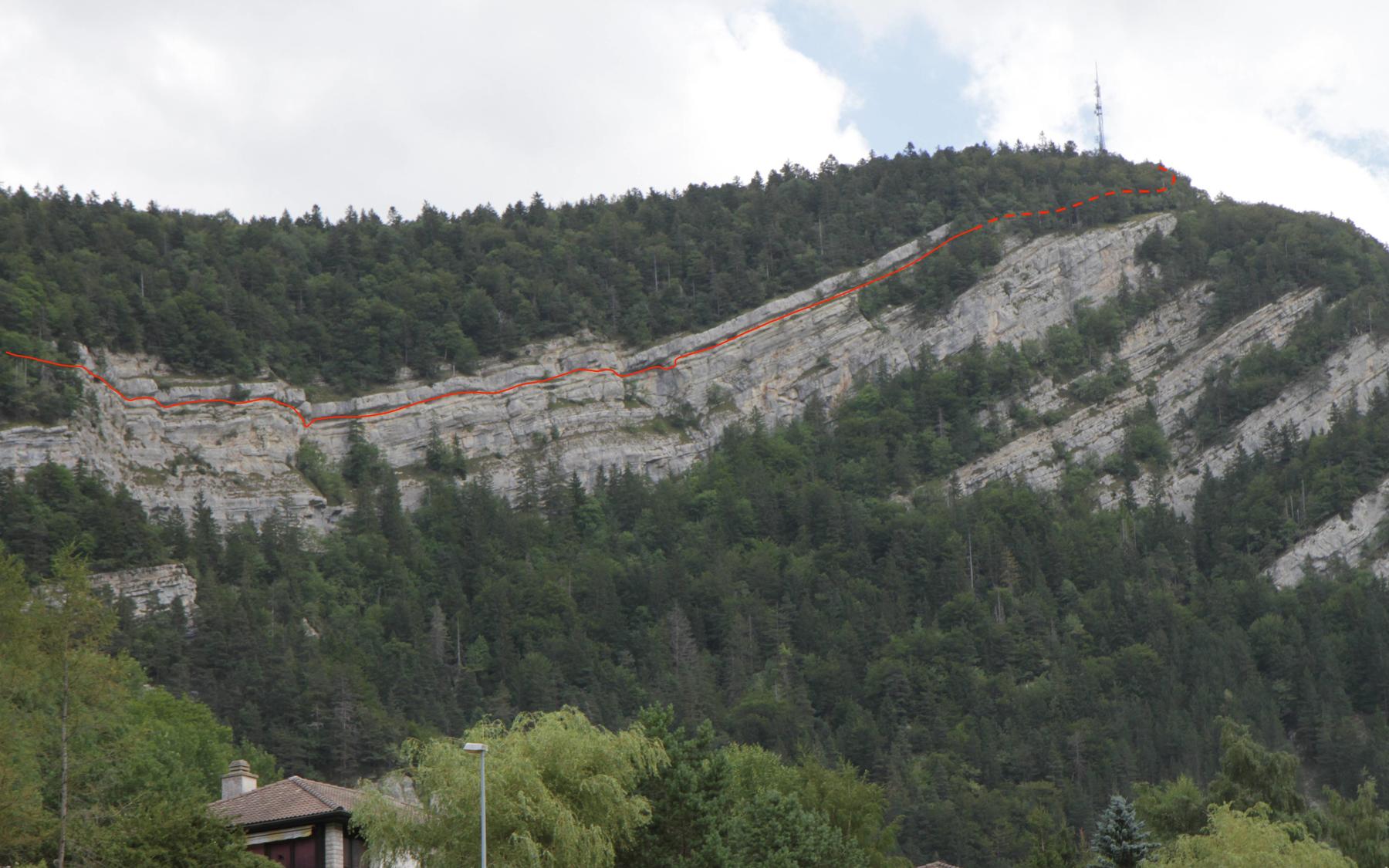
La Clusette, NE
Image: Matthias Hänni
Difficulty
K4
Very difficult via ferrata
Current status
Today falls within the published opening season
Checked 14 h ago
Total time
2 h 45 min
Approach + via ferrata + descent
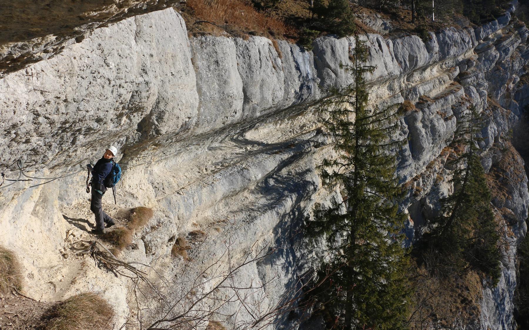
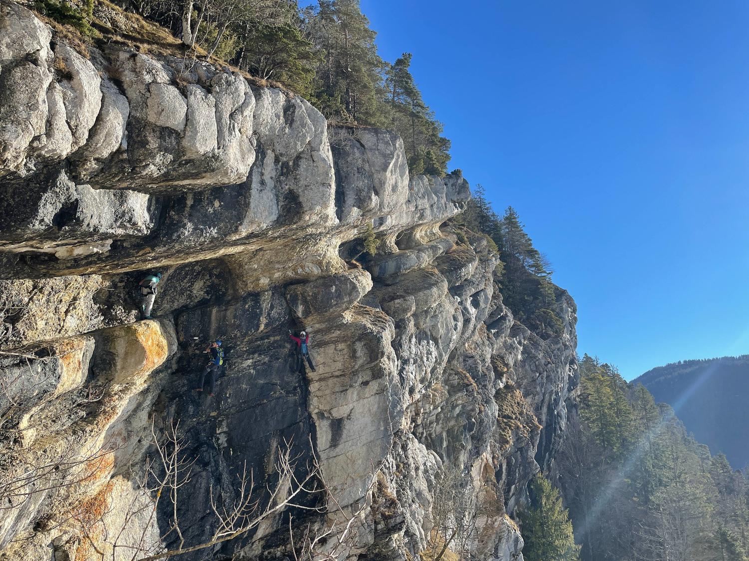
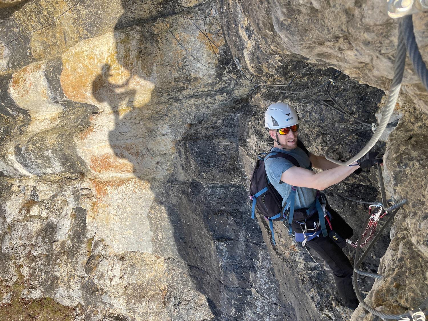
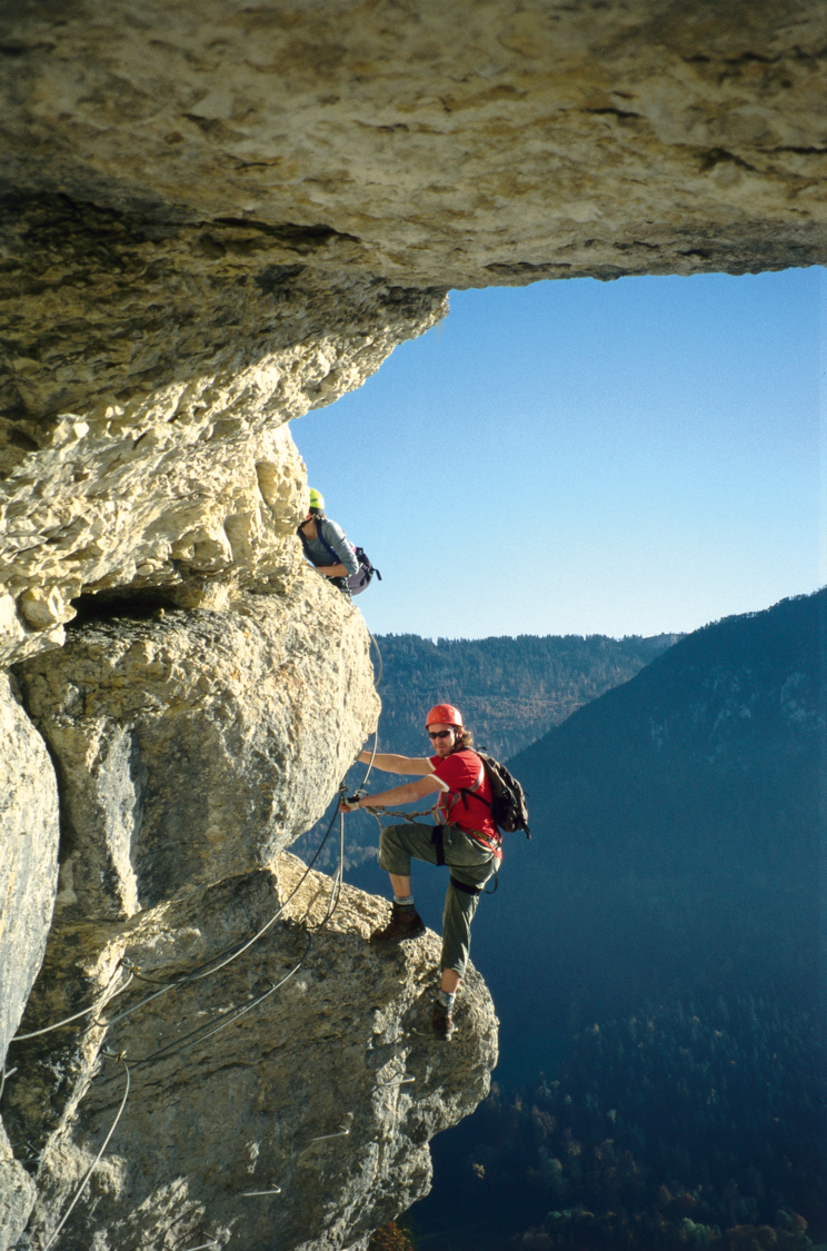
The Tichodrome via ferrata rises above Noiraigue in the Val de Travers, named for the wallcreeper birds nesting on these cliffs. Built by mountain guide Michel Gentil as the first via ferrata in the Swiss Jura, it offers a well-secured but airy climb of around 550 meters along natural rock bands, with sweeping views over the valley. To protect nesting wallcreepers, the route is closed annually from January 1 to June 30, with cables removed each New Year's Eve.
Zoomable topographic map showing available approach, via ferrata, descent, start, finish, and parking geometry. The Download GPX link near the route map heading provides the same route geometry as a file.
Segment timings and vertical stats from the current VFOS dataset.
From Noiraigue station (729 m), walk north through the village then west, crossing the freeway with care. Climb into the forest via a large zig-zag heading east, then branch right off the main trail and traverse up to the via ferrata start (~980 m), marked by a large information board. Alternatively, reach the start in 10 minutes from parking at Restaurant Haut de la Côte (1035 m) to the north.
The route follows natural rock ledges and bands climbing through the cliff, alternating easy sections with exposed, breathtaking passages, especially at the crux. Short intermediate descents and one bridge crossing punctuate the ascent. The ferrata ends near the La Clusette viewpoint (1119 m); continuing on the trail toward the antenna (but no further) offers excellent views.
From the top of the ferrata, follow the forest path back down to join the original approach trail, then retrace it to Noiraigue.
No escape point details are recorded yet.
Typical published season
Local source reporting the route association's notice; not a cantonal tourism authority.
VFOS editorial ratings on a 1-5 scale.
Variety
How much the route changes in movement and terrain.
- -
Complexity
Route-finding and technical problem-solving beyond pure grade.
- -
Beauty
Scenery, setting, and overall aesthetic quality.
- -
Exposure
Airiness and exposure independent of technical difficulty.
- -
Sustained effort
How continuous or relentless the physical effort feels.
- -
No crux tags are recorded yet.
Source ratings on the SAC-CAS 1-4 scale.
Plan around the trailhead, parking, and public transport links.
Last lift down
Check operator
Check current local information before setting off.
In Switzerland, call Rega on 1414 for mountain rescue. European emergency number: 112.
Cell coverage can be patchy in gorges, valleys, and behind ridges. Download route notes and tell someone your plan.
This route is flagged as exposed or high-grade; avoid thunderstorms, wet cables, and fast-changing alpine weather.
https://www.sac-cas.ch/de/huetten-und-touren/sac-tourenportal/la-clusette-7441/berg-und-alpinwandern/zustieg-via-ferrata-du-tichodrome-980/
Last scraped: 2 Aug 2026 · Official SAC-CAS Route Portal source; English API data and attribution retained.
https://www.sac-cas.ch/de/huetten-und-touren/sac-tourenportal/la-clusette-7441/berg-und-alpinwandern/abstieg-via-ferrata-du-tichodrome-981/
Last scraped: 2 Aug 2026 · Official SAC-CAS Route Portal source; English API data and attribution retained.
https://www.sac-cas.ch/de/huetten-und-touren/sac-tourenportal/la-clusette-7441/klettersteig/via-ferrata-du-tichodrome-979/
Last scraped: 2 Aug 2026 · Official SAC-CAS Route Portal source; English API data and attribution retained.
https://vallon.info/via-ferrata-tichodrome-ouverture-2026/
Last scraped: 2 Aug 2026 · Opening-season source retained for status provenance.
No contested fields are currently flagged.
Weather