Difficulty
K5
Extremely difficult via ferrata
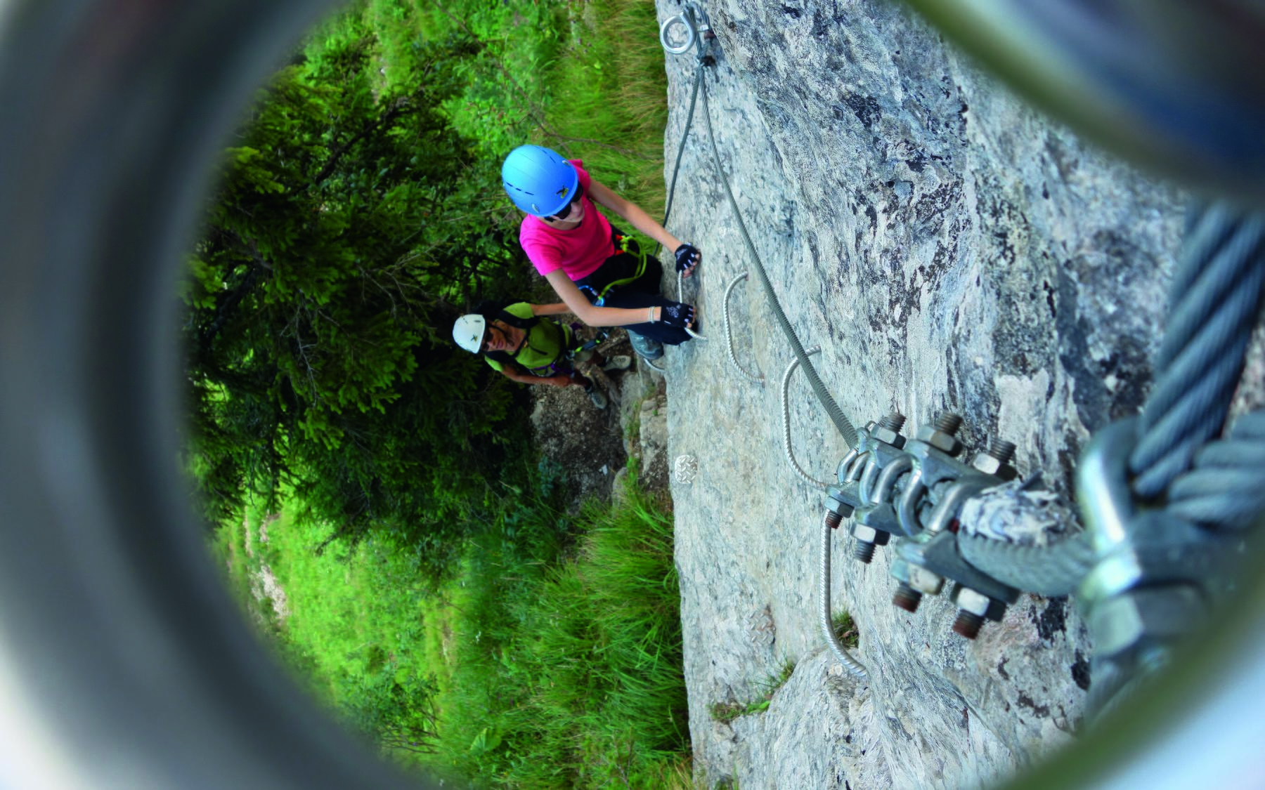
Plan-Francey, Bergstation, FR
Image: Daniel Anker
Difficulty
K5
Extremely difficult via ferrata
Current status
Today falls within the published opening season
Checked 14 h ago
Total time
3 h 25 min
Approach + via ferrata + descent
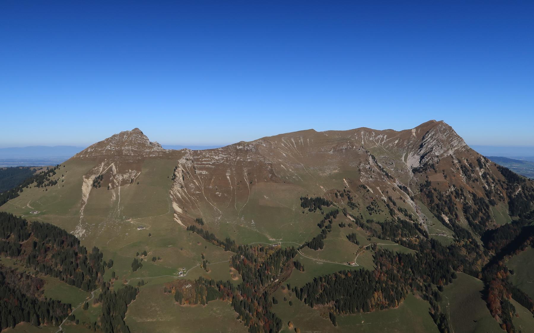
The Via Ferrata de la Face (Voie Hohl) climbs the shady, roughly 300-metre-high north wall of Le Moléson above Gruyère, rated K5 with mostly K4 climbing. Following a line once pioneered by Jacques Hohl, it stays on rock rather than grass and finishes in a choice of two steep variants before joining the Pilier route near the fore-summit. A small user fee supports the fixed gear, and equipment can be hired at Plan-Francey.
Zoomable topographic map showing available approach, via ferrata, descent, start, finish, and parking geometry. The Download GPX link near the route map heading provides the same route geometry as a file.
Segment timings and vertical stats from the current VFOS dataset.
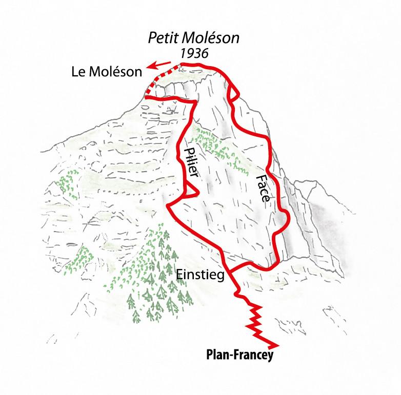
From Plan-Francey (1517 m) descend to a saddle near 1495 m, then climb diagonally right of the grassy ridge opposite, through patches of wood and scrub onto steeper grass and scree leading to the base of Moléson's north face. The shared start for both ferratas lies around 1620 m, with the Face route beginning to the right.
From the sign, ascend grassy rock steps to reach the vertical start of the north wall. A long, slightly descending traverse leads right to the first vertical and briefly overhanging section, the last point where retreat is easy. Success here means the rest of the route is manageable. The middle section skirts a distinctive perched meadow ledge before a second vertical wall and traverse, where the route book is kept. Two finishes follow: the right-hand 'Le surplomb' variant climbs directly over an overhang (harder, black/TD/K5+), while the left 'L'esquive' line is slightly easier (red/D/K4+) and itself splits into an easier link back to the top of 'Le surplomb' (15 m) or a steeper final overhanging pitch (25 m).
From the top of the Face route, climb the stony grass flank up to the top of the Pilier route, then follow the grassy ridge past point 1963 m and the Moléson summit (2002 m) to the mountain station. From there, either ride the cable car down or descend the easier west flank, traversing beneath the north face back to Plan-Francey (about 1 hour).
No escape point details are recorded yet.
Typical published season
Year-specific 2026 dates; weather can affect access.
VFOS editorial ratings on a 1-5 scale.
Variety
How much the route changes in movement and terrain.
- -
Complexity
Route-finding and technical problem-solving beyond pure grade.
- -
Beauty
Scenery, setting, and overall aesthetic quality.
- -
Exposure
Airiness and exposure independent of technical difficulty.
- -
Sustained effort
How continuous or relentless the physical effort feels.
- -
No crux tags are recorded yet.
Source ratings on the SAC-CAS 1-4 scale.
Plan around the trailhead, parking, and public transport links.
Last lift down
Check operator
Check current local information before setting off.
In Switzerland, call Rega on 1414 for mountain rescue. European emergency number: 112.
Cell coverage can be patchy in gorges, valleys, and behind ridges. Download route notes and tell someone your plan.
This route is flagged as exposed or high-grade; avoid thunderstorms, wet cables, and fast-changing alpine weather.
https://www.moleson.ch/en/via-ferrata/
Last scraped: 2 Aug 2026 · Opening-season source retained for status provenance.
https://www.sac-cas.ch/de/huetten-und-touren/sac-tourenportal/le-moleson-7794/berg-und-alpinwandern/zustieg-via-ferrata-le-moleson-977/
Last scraped: 2 Aug 2026 · Official SAC-CAS Route Portal source; English API data and attribution retained.
https://www.sac-cas.ch/de/huetten-und-touren/sac-tourenportal/le-moleson-7794/berg-und-alpinwandern/abstieg-via-ferrata-le-moleson-978/
Last scraped: 2 Aug 2026 · Official SAC-CAS Route Portal source; English API data and attribution retained.
https://www.sac-cas.ch/de/huetten-und-touren/sac-tourenportal/le-moleson-7794/klettersteig/via-ferrata-le-moleson-la-face-722/
Last scraped: 2 Aug 2026 · Official SAC-CAS Route Portal source; English API data and attribution retained.
No contested fields are currently flagged.
Weather