Difficulty
K5
Extremely difficult via ferrata
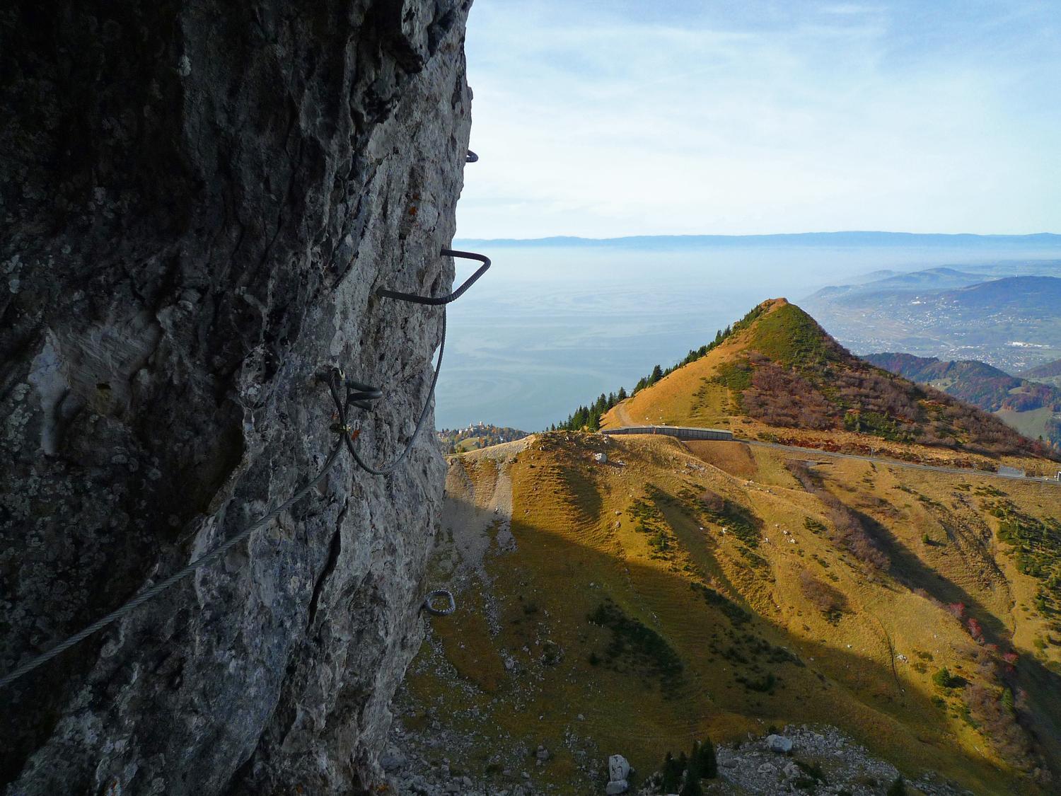
Jaman, FR
Image: Daniel Anker
Difficulty
K5
Extremely difficult via ferrata
Current status
The latest source indicates this route is open
Checked 14 h ago
Total time
2 h 20 min
Approach + via ferrata + descent
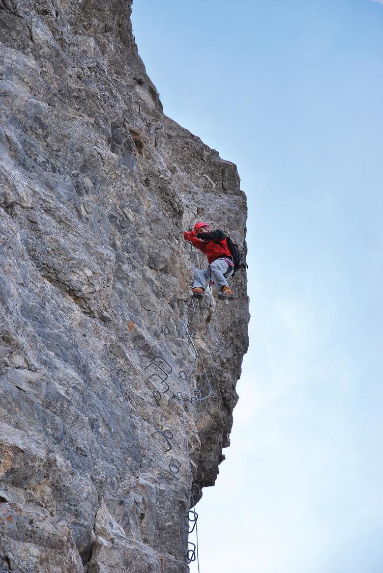
This popular via ferrata climbs the 150 m northwest face of the Rochers de Naye above Lake Geneva, combining sustained power moves with spectacular exposure. Rated K5- overall, it offers a harder K5+ overhanging finish for those seeking the full challenge. The route is well-equipped and hugely scenic, with views over Lake Geneva, Caux, and the cogwheel railway, and it tops out near marmots and open summit slopes.
Zoomable topographic map showing available approach, via ferrata, descent, start, finish, and parking geometry. The Download GPX link near the route map heading provides the same route geometry as a file.
Segment timings and vertical stats from the current VFOS dataset.
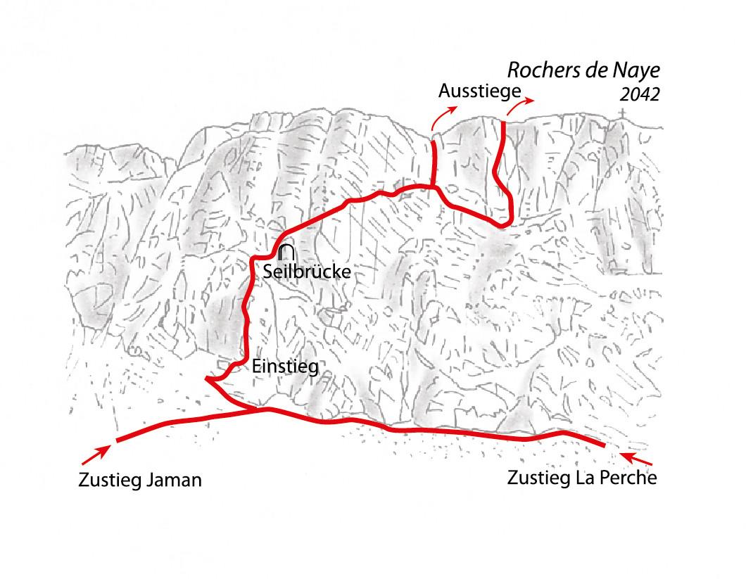
From Jaman station (1739 m), descend briefly into the valley before zigzagging up to the base of the broad northwest-facing cliff, reaching the via ferrata start around 1840 m. Alternatively, from La Perche station (1795 m), follow the track and cut off just before the tunnel, then traverse scree along the cliff base for about ten minutes to reach the same start point.
The route begins abruptly with a steep 50 m vertical-to-overhanging wall (K5-) that quickly pumps the forearms before easing off. A rope bridge crosses into the Gouffre de Niton cave, offering a good rest point, followed by another strenuous (K5-) section leading to a diagonal ramp requiring continued arm strength up to a grassy band. From there, climbers can either exit via a vertical corner (mandatory between May 1 and July 1 due to nesting birds) or continue on the harder variant, descending along the grass band, ascending a slab, traversing an exposed second slab, and finishing on a demanding overhang (K5+) near 1990 m.
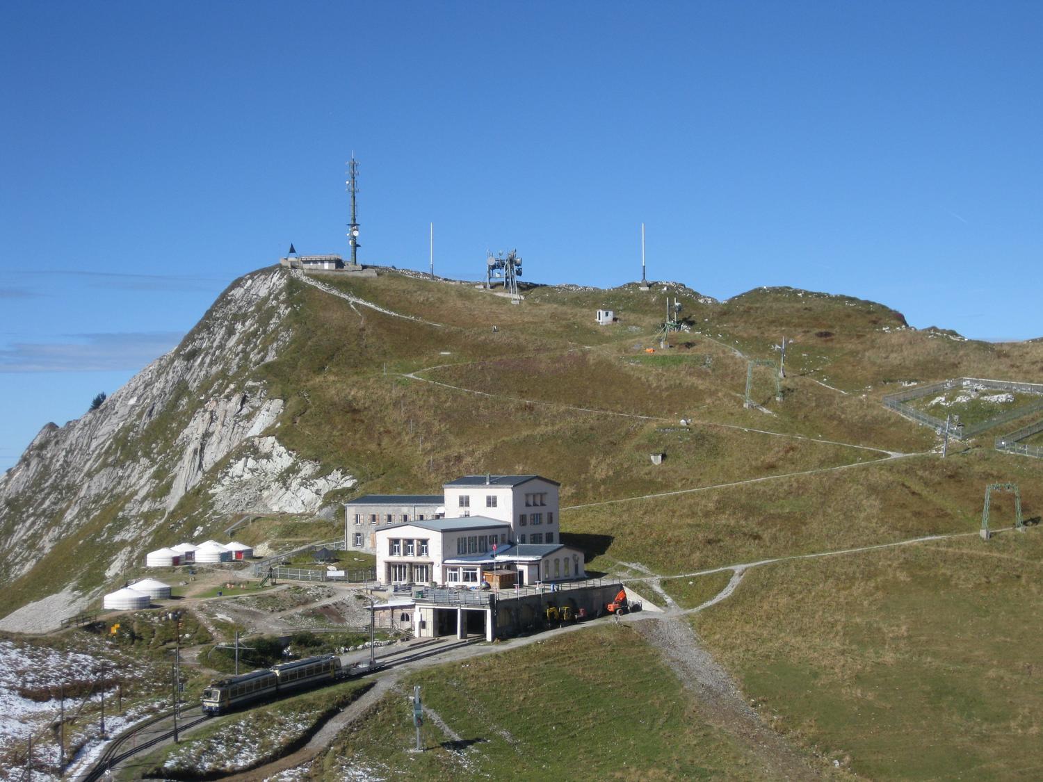
From the top of the via ferrata, follow the ridge path southwest to the main summit of Rochers de Naye, then descend easily to the train station.
No escape point details are recorded yet.
Typical published season
The final section remains closed until 1 July; the line shows overall route access and this sectional restriction must remain visible in notes.
VFOS editorial ratings on a 1-5 scale.
Variety
How much the route changes in movement and terrain.
- -
Complexity
Route-finding and technical problem-solving beyond pure grade.
- -
Beauty
Scenery, setting, and overall aesthetic quality.
- -
Exposure
Airiness and exposure independent of technical difficulty.
- -
Sustained effort
How continuous or relentless the physical effort feels.
- -
No crux tags are recorded yet.
Source ratings on the SAC-CAS 1-4 scale.
Plan around the trailhead, parking, and public transport links.
Last lift down
Check operator
Check current local information before setting off.
In Switzerland, call Rega on 1414 for mountain rescue. European emergency number: 112.
Cell coverage can be patchy in gorges, valleys, and behind ridges. Download route notes and tell someone your plan.
This route is flagged as exposed or high-grade; avoid thunderstorms, wet cables, and fast-changing alpine weather.
https://www.vaud.ch/en/tourism/activites/rochers-de-naye-via-ferrata/
Last scraped: 2 Aug 2026 · Opening-season source retained for status provenance.
https://www.sac-cas.ch/de/huetten-und-touren/sac-tourenportal/rochers-de-naye-1283/berg-und-alpinwandern/zustieg-via-ferrata-rochers-de-naye-894/
Last scraped: 2 Aug 2026 · Official SAC-CAS Route Portal source; English API data and attribution retained.
https://www.sac-cas.ch/de/huetten-und-touren/sac-tourenportal/rochers-de-naye-1283/berg-und-alpinwandern/abstieg-via-ferrata-rochers-de-naye-895/
Last scraped: 2 Aug 2026 · Official SAC-CAS Route Portal source; English API data and attribution retained.
https://www.sac-cas.ch/de/huetten-und-touren/sac-tourenportal/rochers-de-naye-1283/klettersteig/via-ferrata-rochers-de-naye-718/
Last scraped: 2 Aug 2026 · Official SAC-CAS Route Portal source; English API data and attribution retained.
No contested fields are currently flagged.
Weather